
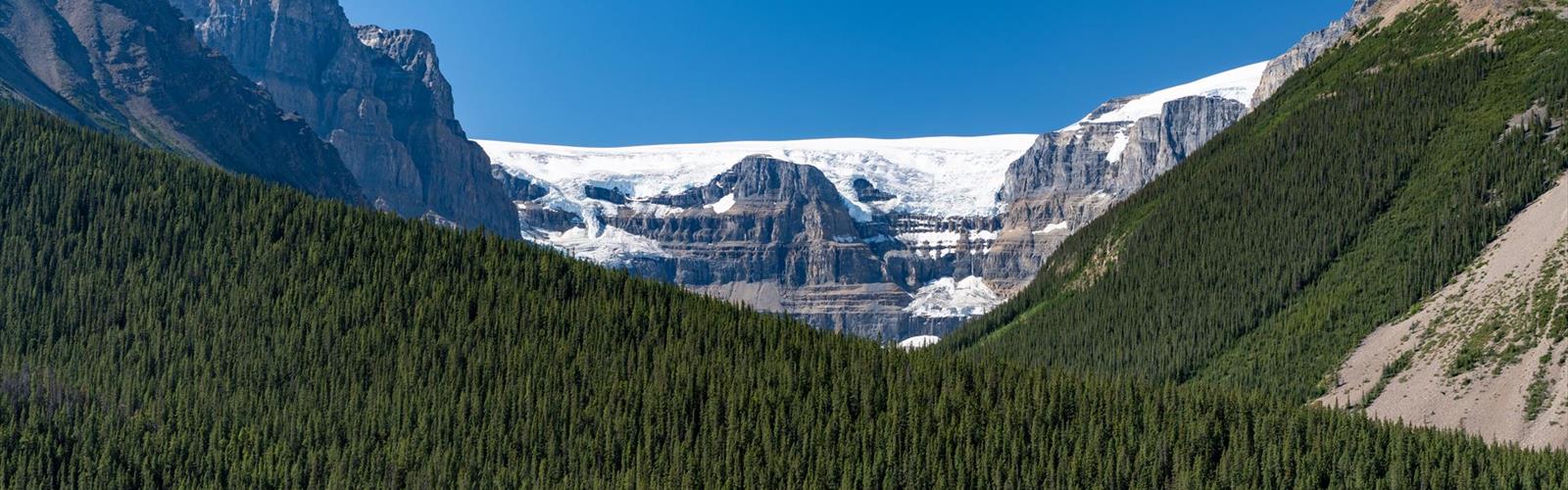

Ready to explore Stutfield Glacier Viewpoint? Here's everything you need to know before you go!
Discover the trail
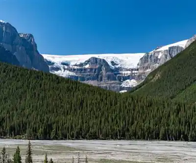
Photos: Christoph Strässler from Oberdorf BL, Schweiz — CC BY-SA 4.0 (Wikimedia Commons)
Trail description
What to Expect
From the viewing area, you'll see the Stutfield Glacier cascading down in a series of icefalls and crevassed sections. The glacier originates high on the Columbia Icefield and flows northeast, carving its way between towering peaks. The ice appears to move in slow motion, though it's constantly shifting and changing. During sunny conditions, the glacier takes on brilliant blue tones where the ice is most compressed, while the surrounding névé fields appear bright white.
The viewpoint itself sits at an elevation that provides an unobstructed sightline to the glacier and the cirque that contains it. Rugged mountain peaks frame the scene on both sides, with Mount Stutfield and other summits creating a dramatic backdrop. Below the glacier, you can often spot the milky glacial streams that carry sediment down toward the valley floor, feeding into the Sunwapta River and eventually the Athabasca River system toward Hudson Bay.
The surrounding terrain consists of typical subalpine forest transitioning to alpine zones at higher elevations. Dense stands of Engelmann spruce and subalpine fir give way to krummholz and eventually bare rock and ice. This ecological transition is clearly visible from the viewpoint, offering insight into how elevation affects plant communities in the Rockies.
The Essential Hiking Checklist
Everything you need for your next hike. Bilingual, printable, 1 page.
Get your free hiking checklistRecommended gear for this trail
As an Amazon Associate I earn from qualifying purchases.


Ready to go?
Everything you need to know before you goStarting Point
The easiest way to get to the start of the trails at the stutfield glacier viewpoint is to drive to the viewpoint from the town of Jasper.
When?
How much?
As an Amazon Associate I earn from qualifying purchases.
Affiliate links — LGPO may earn a commission at no extra cost to you.
- Hiking shoes Essential
- → Salomon Elixir Tour Mid WP · 203.38 $
- Layered clothing Essential
- Rain jacket Essential
- Trekking poles
- → Black Diamond Trail Ergo Cork · 69.99 $
- Headlamp
- → Petzl Actik Core 625 · 103.95 $
FAQ - Frequently asked questions
Everything you need to knowSimilar hikes nearby
Discover other trails you might enjoy
Fossil Mountain
Canadian Rockies

Snake Indian Mountain
Canadian Rockies
Mushroom Peak
Canadian Rockies
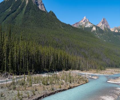
Mount Woolley
Canadian Rockies
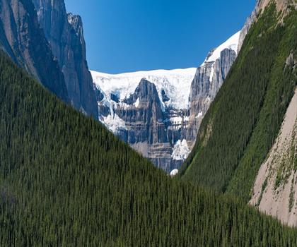
Stutfield Peak
Canadian Rockies
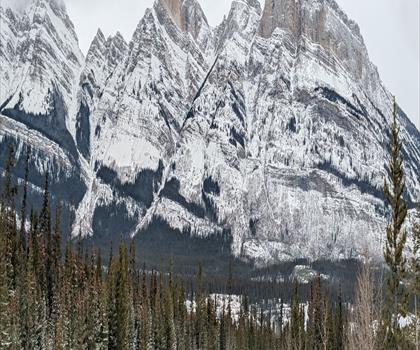
Mount Sarbach
Canadian Rockies
Hiking near Jasper
82 trails to explore ~85 km away
We work hard to provide the most up-to-date and error-free data possible. If something seems incorrect, let us know! Your contribution helps the whole community.
Hikers' opinions
Be the first to review!
No hiker has shared their experience yet. Share your impressions and help other hikers!