
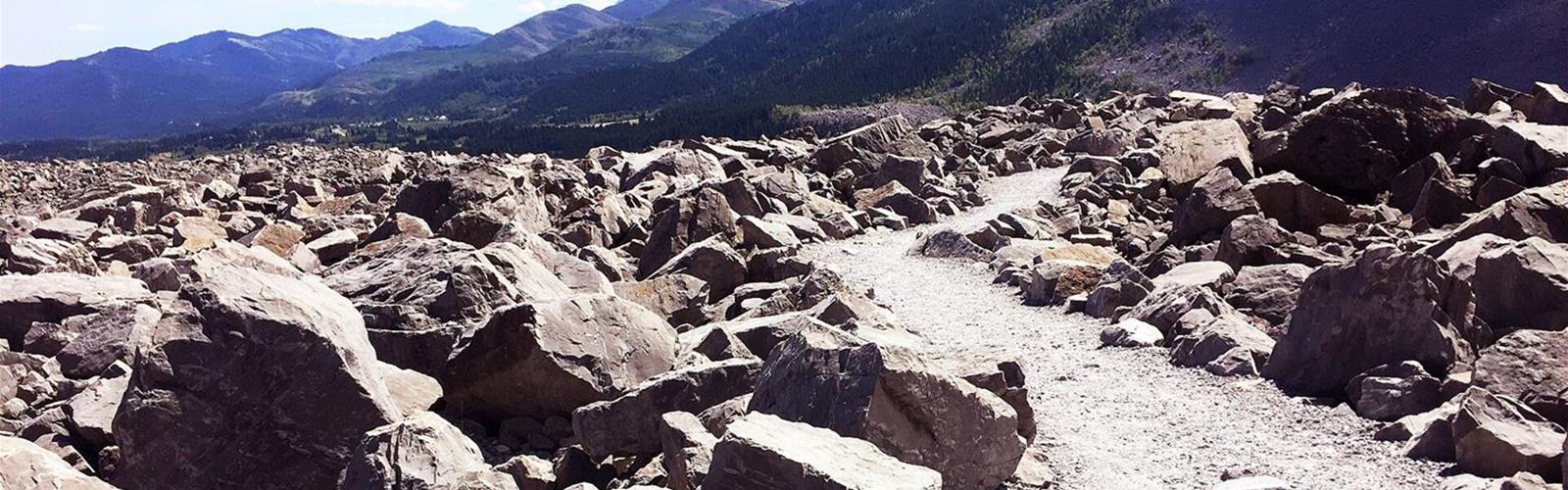
Ready to explore Frank Slide Interpretive Centre? Here's everything you need to know before you go!
Discover the trail
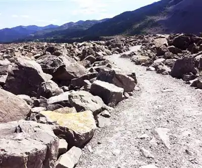
Available trails
| TrailTrails | Dist.Distance | GainElevation | TimeDuration | Difficulty | GPX |
|---|---|---|---|---|---|
|
|
1.5 km | — | 1h13 |
Trail description
What you come to see
According to the Centre's official site, the Frank Slide is Canada's deadliest rockslide. On April 29, 1903, at 4:10 in the morning, a block of rock about 1 km wide, 425 m high and 150 m thick broke away from Turtle Mountain. Its volume is estimated at about 44 million cubic metres, or 110 million tonnes, mostly limestone. The rock buried 3 km² of the Crowsnest River valley floor, to an average depth of 14 m and as much as 45 m in places.
Ear-witnesses in and around Frank estimated that the slide lasted about 100 seconds. Scientists estimate the rock moved at up to 120 km/h. Of the roughly 600 people living in Frank, more than 100 were in the path of the rock and more than 90 were killed. The exact number was never established because most bodies were never recovered; the Frank Sentinel reported 70 dead at the time.
Why the mountain fell
According to the Centre, the primary cause was the unstable geological structure of Turtle Mountain: sedimentary rock layers that were once horizontal, folded until almost vertical, and a thrust fault, the Turtle Mountain Thrust Fault, that divides them. Coal mining, which began in 1900, was blamed at first; scientists now class it as a secondary or contributing factor.
The trail
The official site describes the Frank Slide Trail, a 1.5 km hiking trail through the rocks of the slide, with viewpoints and interpretive panels outside the Centre. According to the Alberta's Historic Places blog (2012), it starts at the Centre's parking lot and winds through mounds of limestone rubble; the last quarter follows the western edge of the fallen rock and returns to the parking lot through a wooded area.
The official site publishes no time, elevation gain or difficulty rating for the trail. It only reminds visitors that weather in the Crowsnest Pass is very changeable.
The Interpretive Centre
The Centre opened on April 28, 1985. It was designed to tell the story of resource extraction and coal mining in Alberta; its focus has shifted to the Frank Slide, and it also serves as an orientation centre to the history of the Crowsnest Pass. A complete tour of the galleries, including the 30-minute HD movie, takes about 1 to 1.5 hours.
Admission
Centre admission: adult (18 to 64) $18, senior (65 and over) $14, youth (7 to 17) $11, family (2 adults and youths, up to 8 people) $45, child (0 to 6) free. Admission is also free for active Canadian military with a CFOne card and for Canoo cardholders. According to the site's home page, the Experience Alberta's History Annual Pass is available for purchase and can be used at the Centre. The official site does not say whether the trail is covered by these fees or free: if in doubt, call the Centre at 403-562-7388.
Before you go
- Dogs: pets are not allowed in the Interpretive Centre but are allowed on the grounds; dogs must be on a leash.
- Parking: large lot, with room for RVs to park and turn around. No overnight parking.
- Accessibility: the pathway from the parking lot to the Centre, the Centre and its washrooms are wheelchair accessible. The official site gives no accessibility details for the trail.
- On site: information services, washrooms, a gift shop (soft drinks and snacks), Wi-Fi and picnic tables.
- Getting there: the Centre is at 2325 153rd Street, Frank, 1.5 km off Highway 3 (Crowsnest Highway).
A protected site
The Frank Slide site has been a Provincial Historic Resource since 1977, according to the Canadian Register of Historic Places: about 508 hectares between Frank and Bellevue, including the boulder field, a cast iron fire hydrant from the original town and three limestone lime kilns.
Is the mountain still moving?
According to the Centre, Turtle Mountain moves a few millimetres a year to the northeast. Scientists believe another significant rock avalanche will occur at some point. They are focusing on the south and third peaks, where a series of large cracks suggests the next large rockslide could come from: Upper South Peak, Lower South Peak and Lower Third Peak are possible sources. If all of the zones of instability on the south and third peaks gave way at once, the rockslide would be approximately one-sixth the size of the 1903 slide.
Scientists at the Alberta Geological Survey follow real-time data from monitoring equipment installed on the mountain. The Centre says a major rockslide is not likely anytime soon if the mountain keeps moving at its current slow pace; it could come sooner if the movement speeds up.
Services and amenities
Information services, washrooms, gift shop (soft drinks and snacks), Wi-Fi, picnic tables, viewpoints and interpretive panels outside the Centre.
Everything you need for your next hike. Bilingual, printable, 1 page.
Get your free hiking checklistRecommended gear for this trail
As an Amazon Associate I earn from qualifying purchases.


Ready to go?
Everything you need to know before you goStarting Point
The Centre is at 2325 153rd Street, Frank (Crowsnest Pass), 1.5 km off Highway 3. The trail starts at the Centre's parking lot (Alberta's Historic Places blog).
When?
Open year round, 10 a.m. to 5 p.m. May 15 to October 12, 2026: daily. From October 13, 2026: closed Mondays. Closed Christmas Eve, Christmas Day, New Year's Day and Easter Sunday. Season dates vary from page to page on frankslide.ca: check before you go.
As an Amazon Associate I earn from qualifying purchases.
Affiliate links — LGPO may earn a commission at no extra cost to you.
- Hiking shoes Essential
- → Salomon Elixir Tour Mid WP · 203.38 $
- Layered clothing Essential
- Rain jacket Essential
- Trekking poles
- → Black Diamond Trail Ergo Cork · 69.99 $
- Headlamp
- → Petzl Actik Core 625 · 103.95 $
FAQ - Frequently asked questions
Everything you need to knowOutings near Frank Slide Interpretive Centre
Discover other trails you might enjoy
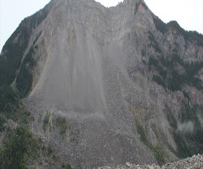
Turtle Mountain
Southern Rockies · 2.9 km away

Crowsnest Pass
Southern Rockies · 9.2 km away
Star Creek Falls
Southern Rockies · 10.9 km away

Lundbreck Falls
Southern Rockies · 13.6 km away
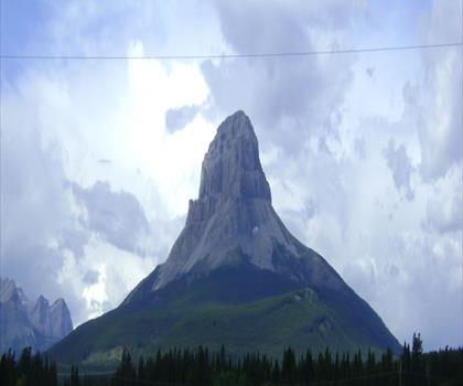
Promised Land
Thompson Okanagan · 14.6 km away
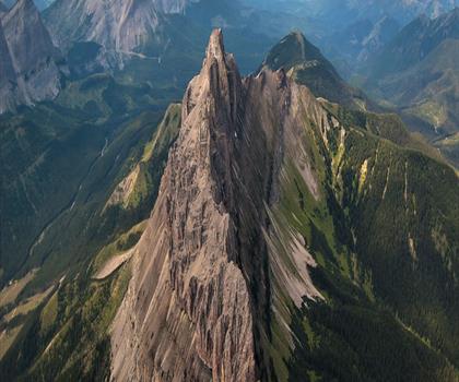
Chinook Lake
Southern Rockies · 17.2 km away
Hiking near Calgary
128 trails to explore ~162 km away
We work hard to provide the most up-to-date and error-free data possible. If something seems incorrect, let us know! Your contribution helps the whole community.
Hikers' opinions
Be the first to review!
No hiker has shared their experience yet. Share your impressions and help other hikers!