


Ready to explore Serpentine Lake? Here's everything you need to know before you go!
Discover the trail
Oh no! We don't have any photos 😢
This trail hasn't been captured yet. Be the first to share your adventure!Trail description
Serpentine Lake offers a pristine alpine experience in the Vancouver Coast Mountains, where crystal-clear waters reflect towering peaks and ancient glacial formations. This remote mountain lake sits nestled in a dramatic cirque, surrounded by steep granite walls and cascading waterfalls that create an amphitheater of natural beauty.
Getting There
Access to Serpentine Lake requires careful planning and preparation. The trailhead is typically reached via logging roads that can be rough and may require a high-clearance vehicle. Road conditions vary significantly with weather and season, so checking current access conditions before your trip is essential. The remote location means you'll want to start early and be prepared for changing mountain conditions.
The Trail Experience
The journey to Serpentine Lake takes you through diverse mountain terrain, beginning in dense coastal forest before climbing into subalpine meadows. The trail can be challenging to follow in places, with sections that require route-finding skills and careful attention to cairns and natural landmarks. Stream crossings may be necessary depending on snowmelt and recent precipitation.
As you gain elevation, the forest transitions from towering Douglas fir and western hemlock to smaller mountain hemlock and subalpine fir. The understory changes too, with salmonberry and devil's club giving way to mountain ash and eventually alpine wildflowers during the growing season.
The Lake and Surrounding Area
Serpentine Lake itself is a stunning example of glacial carving, with deep blue-green waters that remain cold year-round. The lake's shoreline offers several spots for rest and contemplation, though the terrain around the water can be rocky and uneven. The surrounding peaks create a dramatic backdrop, with snow often visible on the higher elevations well into summer.
The area around the lake showcases classic Coast Mountain geology, with exposed granite faces, talus slopes, and evidence of glacial activity. Small alpine plants cling to cracks in the rock, creating miniature gardens in the most unlikely places. The sound of water is constant here, from the gentle lapping at the lake's edge to the distant roar of waterfalls cascading down the surrounding cliffs.
Wildlife and Natural Features
The remote nature of Serpentine Lake means wildlife encounters are possible. Black bears frequent the area, particularly during berry season, making proper food storage and bear awareness essential. Mountain goats may be spotted on the steep slopes above the lake, and various bird species including gray jays and Clark's nutcrackers are common in the subalpine zone.
The lake's ecosystem is relatively simple but fascinating. The cold, clear water supports limited aquatic life, but the surrounding wetlands and seasonal streams create habitat for amphibians and insects that form the base of the food web. Pikas may be heard calling from the rockslides, and marmots occasionally make appearances in the alpine areas.
Seasonal Considerations
Snow can linger around Serpentine Lake well into summer, and the area may be inaccessible during winter months without specialized equipment and experience. The best conditions typically occur from mid-summer through early fall, when trails are most likely to be snow-free and weather conditions are most stable.
Even during the optimal season, weather can change rapidly in this alpine environment. Afternoon thunderstorms are common, and temperatures can drop significantly with little warning. The high elevation and exposed nature of much of the terrain around the lake means proper clothing and emergency preparedness are crucial.
Photography and Special Features
Serpentine Lake provides exceptional photography opportunities, particularly during the golden hours of early morning and late afternoon when the surrounding peaks are illuminated. The lake's surface often provides perfect reflections of the surrounding mountains, creating mirror-like images that capture the grandeur of the Coast Mountains.
The changing light throughout the day transforms the character of the lake and its surroundings. Morning mist often rises from the water's surface, creating ethereal conditions, while afternoon light brings out the rich colors in the surrounding rock faces and vegetation.
Preparation and Safety
The remote location and challenging terrain around Serpentine Lake demand thorough preparation. Navigation skills are essential, as trail markers may be sparse or absent in some sections. A detailed topographic map and compass or GPS device should be considered mandatory equipment.
Water purification is necessary if you plan to use lake or stream water, and bringing extra food and emergency supplies is wise given the remote location and potential for weather delays. The rocky terrain around the lake can be slippery when wet, making sturdy footwear with good traction important for safety and comfort.
The Essential Hiking Checklist
Everything you need for your next hike. Bilingual, printable, 1 page.
Get your free hiking checklistRecommended gear for this trail
As an Amazon Associate I earn from qualifying purchases.


Ready to go?
Everything you need to know before you goWhen?
How much?
As an Amazon Associate I earn from qualifying purchases.
Affiliate links — LGPO may earn a commission at no extra cost to you.
- Hiking shoes Essential
- → Salomon Elixir Tour Mid WP · 203.38 $
- Layered clothing Essential
- Rain jacket Essential
- Trekking poles
- → Black Diamond Trail Ergo Cork · 69.99 $
- Headlamp
- → Petzl Actik Core 625 · 103.95 $
FAQ - Frequently asked questions
Everything you need to knowSimilar hikes nearby
Discover other trails you might enjoy
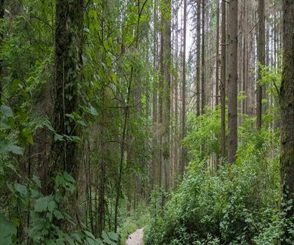
Bridle Path
Vancouver Coast Mountains
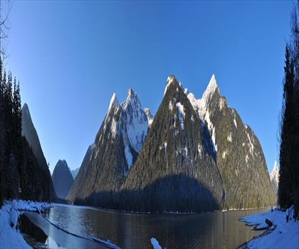
Flora Lake
Vancouver Coast Mountains

Alouette Mountain
Vancouver Coast Mountains
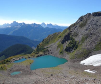
Williamson Lake
Vancouver Coast Mountains
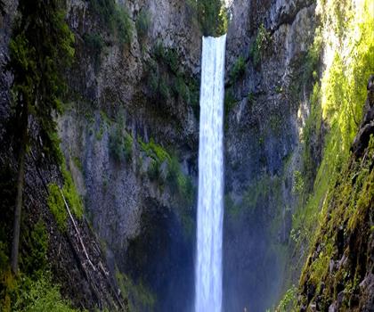
Brandywine Mountain
Vancouver Coast Mountains

Coliseum Mountain
Vancouver Coast Mountains
Hiking near Kelowna
45 trails to explore ~135 km away
We work hard to provide the most up-to-date and error-free data possible. If something seems incorrect, let us know! Your contribution helps the whole community.
Hikers' opinions
Be the first to review!
No hiker has shared their experience yet. Share your impressions and help other hikers!