


Ready to explore Galloping Goose Regional Trail? Here's everything you need to know before you go!
Discover the trail
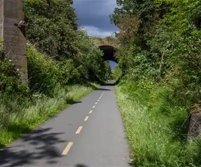
Trail description
The Galloping Goose Regional Trail is one of the most iconic multi-use trails in the Greater Victoria area of British Columbia. Stretching from the heart of Victoria out through the Saanich Peninsula and into the rural landscapes of the West Shore communities, this trail follows the historic right-of-way of the Canadian National Railway — a corridor that once carried passengers and freight across southern Vancouver Island. Today, it's a beloved route for hikers, cyclists, and anyone who wants to get outside without dealing with traffic or technical terrain.
What Kind of Trail Is This?
The Galloping Goose is a rail trail, which means it's wide, mostly flat, and well-surfaced for much of its length. The old railway grade keeps elevation changes minimal, making it genuinely accessible to a broad range of users — families with strollers, casual walkers, trail runners, and cyclists all share the corridor. That said, the surface does vary depending on which section you're on. Some stretches are paved or compacted gravel, while others — particularly further out toward Leechtown — become rougher and more natural underfoot.
Because it's managed by the Capital Regional District (CRD) as part of their regional parks system, the trail is well-maintained and clearly signed. Trailheads and access points are distributed throughout the corridor, so you can pick up the trail at multiple spots rather than committing to one fixed starting point.
The Route and What You'll Pass Through
The trail runs generally west and north from downtown Victoria, passing through a variety of landscapes that shift noticeably as you move further from the urban core. Near the city, you're walking through established neighbourhoods, past community gardens, and alongside the Selkirk Waterway. It has an urban greenway feel here — convenient, well-used, and connected to the broader cycling network.
As you push further out toward View Royal, Colwood, and Langford, the character of the trail changes. You start to move through second-growth forest, past wetlands, and alongside stretches of open farmland. The transition from city to suburb to rural landscape happens gradually, and it's one of the things that makes this trail interesting to explore in sections over multiple visits.
Further along, the trail passes through Roche Cove Regional Park and continues into the Leechtown area near the Sooke Hills Wilderness Regional Park. This far end of the trail feels genuinely remote compared to the urban sections — quieter, wilder, and worth the effort to reach if you're looking for a longer outing with more solitude.
History on the Ground
The railway history is woven into the trail in ways you'll notice as you walk. Old trestles have been converted into pedestrian bridges, and you'll cross several of them along the route. These wooden structures give you elevated views over ravines, streams, and forested gullies that you'd otherwise miss entirely. The Matheson Lake trestle and the structures near Roche Cove are particular highlights for anyone paying attention to the built environment along the way.
The trail takes its name from the Galloping Goose, a self-propelled gas-electric railcar that ran the line in the 1920s and 1930s, carrying mail and passengers to communities that were otherwise difficult to reach. That history gives the trail a sense of place that goes beyond just the scenery.
Wildlife and Natural Environment
The corridor passes through a range of ecosystems — Garry oak meadows, riparian zones, coastal Douglas-fir forest, and wetland edges. This diversity means wildlife sightings are genuinely common, particularly in the quieter sections away from the urban core. Deer are frequently spotted, and the wetland areas attract a variety of bird species throughout the year. The Garry oak sections, while fragmented, are ecologically significant and visually distinctive — especially in spring when the understory comes alive.
The riparian sections along Veitch Creek and near the Sooke River corridor offer some of the most ecologically rich stretches of the trail. If you're someone who pays attention to plants and birds, these areas reward slow travel.
Practical Information
- Trail type: Linear rail trail with multiple access points throughout the corridor
- Surface: Varies — paved, compacted gravel, and natural surface depending on section
- Dogs: Permitted on leash throughout the trail
- Bikes: Permitted — this is a shared-use trail and cycling is a primary use
- Managed by: Capital Regional District (CRD) Parks
- Access: Multiple trailheads along the corridor; no single required start point
- Fees: No trail fee to access the Galloping Goose Regional Trail itself
How to Approach It
Because of its length and the number of access points, most people don't attempt the full trail in a single outing — and there's no reason you need to. The smarter approach is to pick a section that matches what you're after. If you want an easy urban walk with good amenities nearby, start near the Selkirk Waterway in Victoria. If you want a longer, quieter hike with more natural surroundings, drive out to the Roche Cove or Leechtown end and work your way back.
The trail also connects with the Lochside Regional Trail near its eastern end, which extends north toward the Swartz Bay ferry terminal. Together, the two trails form a continuous active transportation corridor across much of the Saanich Peninsula — useful context if you're planning a longer point-to-point trip.
Parking is available at several trailheads along the route, and the trail is accessible year-round, though the unpaved sections toward Leechtown can get muddy and rough after heavy rain in the fall and winter months.
Who It's Best For
The Galloping Goose works well for a wide range of users precisely because it doesn't demand much technically. It's a strong choice for families, beginner hikers, trail runners looking for a flat long-distance route, and anyone who wants to cover ground without scrambling over roots and rocks. The urban sections are great for a quick weekday outing, while the rural and wilderness-adjacent sections offer a more immersive experience for those willing to travel further along the corridor.
Recommended gear for this trail
As an Amazon Associate I earn from qualifying purchases.


Ready to go?
Everything you need to know before you goWhen?
How much?
As an Amazon Associate I earn from qualifying purchases.
Affiliate links — LGPO may earn a commission at no extra cost to you.
- Hiking shoes Essential
- → Salomon Elixir Tour Mid WP · 203.38 $
- Layered clothing Essential
- Rain jacket Essential
- Trekking poles
- → Black Diamond Trail Ergo Cork · 69.99 $
- Headlamp
- → Petzl Actik Core 625 · 103.95 $
FAQ - Frequently asked questions
Everything you need to know
25 hikes under 2 hours from Montreal
Distance, elevation, parking and season for each one. The ones we go back to ourselves.
Get the guideSimilar hikes nearby
Discover other trails you might enjoy
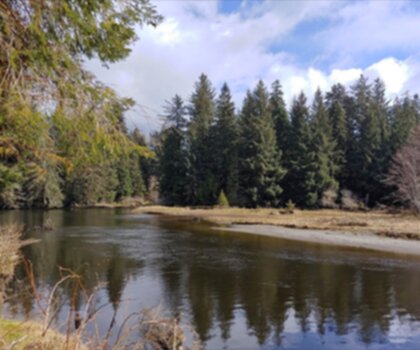
Sandbar Trail
Vancouver Island
Old Baldy Mountain Trail
Vancouver Island
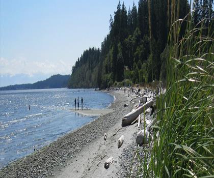
Wittys Lagoon
Vancouver Island

Mount Cain
Vancouver Island
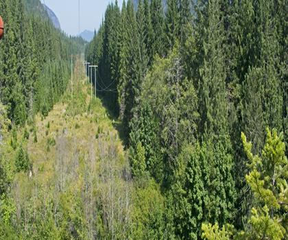
Kings Peak
Vancouver Island
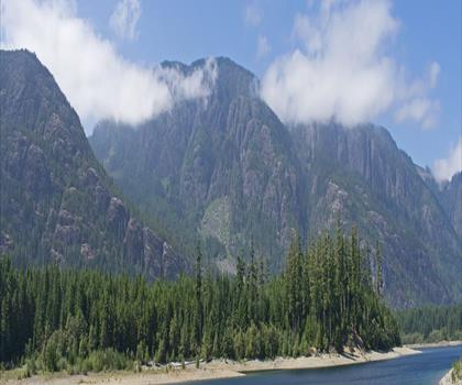
Buttle Lake
Vancouver Island
Hiking near Victoria
93 trails to explore ~11 km away
We work hard to provide the most up-to-date and error-free data possible. If something seems incorrect, let us know! Your contribution helps the whole community.
Hikers' opinions
Be the first to review!
No hiker has shared their experience yet. Share your impressions and help other hikers!