
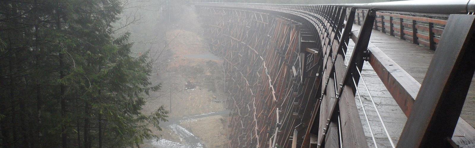

Ready to explore Kinsol Trestle Trail Recreation Site? Here's everything you need to know before you go!
Discover the trail
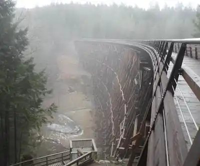
Trail description
The Kinsol Trestle Trail Recreation Site is a short, accessible trail located in the Cowichan Valley of British Columbia, Canada. Spanning just 0.5 km with a modest elevation gain of 36 metres, this easy route is well-suited for visitors of all ages and fitness levels who want to experience one of the region's most notable landmarks — the historic Kinsol Trestle.
The Kinsol Trestle is one of the largest wooden trestle bridges in the world and stands as a remarkable example of early 20th-century railway engineering. The structure spans the Koksilah River and has been carefully restored, allowing visitors to walk across and take in the surrounding forest and river valley from an impressive vantage point. The area is characterized by the lush, temperate rainforest typical of Vancouver Island, with towering Douglas fir, western red cedar, and bigleaf maple trees creating a rich canopy along the route.
The trail itself follows a section of the Trans Canada Trail (also known as the Great Trail), making it part of a much larger connected pathway network. The relatively flat and well-maintained path makes the walk comfortable underfoot, and the short distance means most visitors can complete the out-and-back route in a relaxed manner without significant physical exertion.
With a Google rating of 4.7 out of 5 based on over 460 reviews, the site is clearly well-regarded among those who have visited. The combination of natural scenery and historical infrastructure gives this trail a character that goes beyond a typical short walk, offering both a scenic and educational experience in the heart of the Cowichan Valley.
Free
1 pages
The Essential Hiking Checklist
Everything you need for your next hike. Bilingual, printable, 1 page.
Get your free hiking checklistRecommended gear for this trail
As an Amazon Associate I earn from qualifying purchases.
LGPO Pick

Salomon
Elixir Tour Mid WP
Waterproof mid-height boot ideal for rocky terrain
203.38 $


Affiliate links — LGPO may earn a commission at no extra cost to you.
Ready to go?
Everything you need to know before you goStarting Point
The trailhead is located in the Cowichan Valley region of British Columbia, Canada, near the coordinates 48.65961, -123.69852. Specific driving directions and parking details are not confirmed in our current data — we recommend checking with local trail authorities or a mapping application before your visit.
When?
Opening hours
No information
Weather (next days)
Loading
What to bring?
As an Amazon Associate I earn from qualifying purchases.
Affiliate links — LGPO may earn a commission at no extra cost to you.
General hiking tips, to adapt to your outing.
Gear
- Hiking shoes Essential
- → Salomon Elixir Tour Mid WP · 203.38 $
- Layered clothing Essential
- Rain jacket Essential
- Trekking poles
- → Black Diamond Trail Ergo Cork · 69.99 $
- Headlamp
- → Petzl Actik Core 625 · 103.95 $
Good to know
In an emergency
Emergency
911
Parking GPS
48.6596131, -123.698515
FAQ - Frequently asked questions
Everything you need to knowKinsol Trestle Trail Recreation Site is rated easy.
The elevation gain of Kinsol Trestle Trail Recreation Site is 36 m.
Allow about 0h11 for Kinsol Trestle Trail Recreation Site (0.5 km).
Didn't find your answer?
Similar hikes nearby
Discover other trails you might enjoy
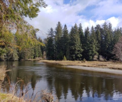
Sandbar Trail
Vancouver Island
2.5 km
1h
3 m
Beginner
Old Baldy Mountain Trail
Vancouver Island
6 km
2h30
306 m
Intermediate
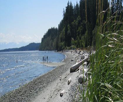
Wittys Lagoon
Vancouver Island
22 km
5h30
40 m
Beginner

Mount Cain
Vancouver Island
12 km
6h30
1490 m
Advanced
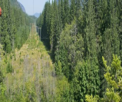
Kings Peak
Vancouver Island
10h30
1 m
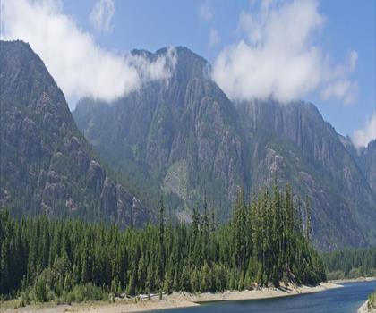
Buttle Lake
Vancouver Island
2.5 km
45min
27 m
Beginner
Top 10 best hiking in Vancouver Island
Our ranking based on hiker reviews
Hiking near Victoria
93 trails to explore ~36 km away
Did you spot an error?
We work hard to provide the most up-to-date and error-free data possible. If something seems incorrect, let us know! Your contribution helps the whole community.
Hikers' opinions
Be the first to review!
No hiker has shared their experience yet. Share your impressions and help other hikers!