
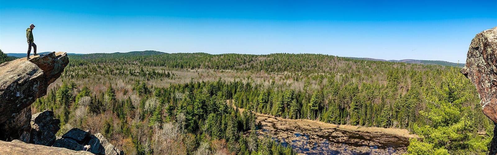
Ready to explore Calabogie Peaks Resort? Here's everything you need to know before you go!
Discover the trail
Available trails
| TrailTrails | Dist.Distance | GainElevation | Difficulty | GPX |
|---|---|---|---|---|
|
Beginner
|
2.5 km | — | Beginner | |
|
Intermediate
|
4 km | — | Intermediate | |
|
Intermediate
|
9 km | — | Intermediate |
Trail description
The main trail: Manitou Mountain
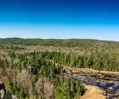
According to the Township of Greater Madawaska, the Manitou Mountain Trail is a 9 km hiking and snowshoeing trail of medium difficulty. It leads to three lookouts: Eagles Nest, Manitou Mountain and Red Arrow Rock. The official trail map shows the main corridor running between the parking lot at 342 Barrett Chute Road and the one at 6573 Calabogie Road, with Eagles Nest Lookout near that second access.
Eagles Nest from Calabogie Road
On the official map, the Little Pine Path links the parking lot at 6573 Calabogie Road (Highway 508) to Eagles Nest Lookout, at the west end of the trail. The township asks visitors to park in the lot near the trailhead: parking along Highway 508 is prohibited and subject to tickets and towing. Contributions can be made toward the upkeep of the trails, the parking lot and the bathroom facilities.
Trails around the resort
The Bear Claw Trail is a 2.5 km self-guided interpretive hike of easy difficulty through hardwood forest, according to Ontario Nature Trails. The Lost Valley Trail is a loop of about 4 km, of medium difficulty: it climbs to Juniper Ridge Lookout, with a panoramic view of Calabogie Lake, then passes rock outcroppings, small ponds and old white pines. The same source places the trailhead behind Dickson Manor, at the resort. The official map also names the Skywalk Trail and the Skywalk Loop, as well as the Calabogie Lake Lookout.
Access and parking
The Manitou Trail parking lot at 342 Barrett Chute Road uses the HONK pay-to-park system; the township asks visitors not to park on Barrett Chute Road. The rate is not published on the township page, and annual permits are sold at the municipal office. The resort itself says parking is available in designated areas.
Beyond hiking
The resort offers scenic chairlift rides to the summit, with views of the Ottawa Valley, in the fall. It also runs a beach (weekends in May and June, daily in July and August, 8 a.m. to 8 p.m.) with no lifeguards: swimming is at your own risk. Dogs must be leashed there. The township and resort pages about the trail do not mention a rule for dogs.
Services and amenities
Everything you need for your next hike. Bilingual, printable, 1 page.
Get your free hiking checklistRecommended gear for this trail
As an Amazon Associate I earn from qualifying purchases.


Ready to go?
Everything you need to know before you goStarting Point
The Manitou Trail parking lot is at 342 Barrett Chute Road, Calabogie (HONK pay-to-park). The resort address is 30 Barrett Chute Road. For Eagles Nest, parking is along Calabogie Road (Highway 508), at 6573 according to the official map.
When?
How much?
As an Amazon Associate I earn from qualifying purchases.
Affiliate links — LGPO may earn a commission at no extra cost to you.
- Hiking shoes Essential
- → Salomon Elixir Tour Mid WP · 203.38 $
- Layered clothing Essential
- Rain jacket Essential
- Trekking poles
- → Black Diamond Trail Ergo Cork · 69.99 $
- Headlamp
- → Petzl Actik Core 625 · 103.95 $
FAQ - Frequently asked questions
Everything you need to knowOutings near Calabogie Peaks Resort
Discover other trails you might enjoy
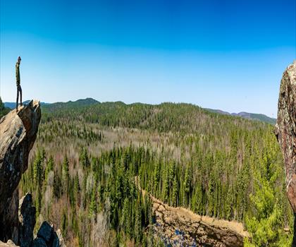
Manitou Mountain - Barrett Chute Trailhead
Haliburton Highlands to the Ottawa Valley · 1.3 km away

Blueberry Mountain Trail
Haliburton Highlands to the Ottawa Valley · 14.9 km away
Moger Pond
Haliburton Highlands to the Ottawa Valley · 43.4 km away
Fitzroy Provincial Park
Ottawa and Countryside · 50.0 km away
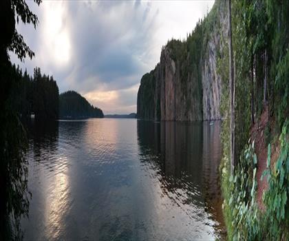
Mazinaw Lake
Haliburton Highlands to the Ottawa Valley · 51.7 km away

Silver Lake Provincial Park
Haliburton Highlands to the Ottawa Valley · 51.7 km away
Hiking near Ottawa
73 trails to explore ~86 km away
We work hard to provide the most up-to-date and error-free data possible. If something seems incorrect, let us know! Your contribution helps the whole community.
Hikers' opinions
Be the first to review!
No hiker has shared their experience yet. Share your impressions and help other hikers!