
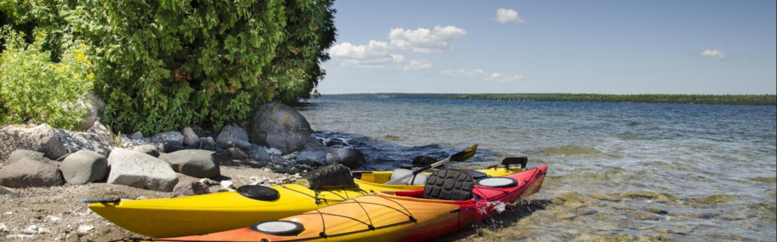

Ready to explore Manitoulin Island? Here's everything you need to know before you go!
Discover the trail
Oh no! We don't have any photos 😢
This trail hasn't been captured yet. Be the first to share your adventure!Trail description
Description
Manitoulin Island sits in the northern reaches of Lake Huron and holds the distinction of being the largest freshwater island in the world. Located in northeastern Ontario within Lake Huron, it's a place that rewards the curious traveler — part Indigenous homeland, part rugged Canadian Shield, part quiet rural community. For hikers, it offers a genuinely different experience from the trail corridors you'll find on the mainland.
The Landscape
The island's terrain is shaped by ancient limestone bedrock, cedar forests, inland lakes, and dramatic escarpment edges that drop toward the water. You'll move through a mix of open alvars — those rare, flat limestone plains with sparse, specialized vegetation — dense boreal-influenced forest, and shoreline bluffs with sweeping views over Lake Huron. The geology here is striking and unusual; the exposed rock underfoot tells a story that goes back hundreds of millions of years.
Inland, the island is dotted with its own lakes and wetlands, which means the hiking experience shifts considerably depending on where you are. Some sections feel remote and wild, while others pass through farmland and small communities. That contrast is part of what makes Manitoulin worth exploring on foot.
Indigenous History and Cultural Significance
Manitoulin Island is deeply connected to Anishinaabe culture and history. The island is home to several First Nations communities, including the Wikwemikong Unceded Indian Reserve — one of the few unceded territories in Canada — as well as Sheguiandah, M'Chigeeng, and others. The name "Manitoulin" itself comes from the Ojibwe word for the Great Spirit. Hikers should approach the land with that awareness and respect any posted boundaries or access restrictions near community lands.
The island also has a long history of European settlement, and that layered past shows up in the landscape — old homesteads, stone fences, and heritage sites are woven into the backcountry in ways you don't always expect.
Hiking on Manitoulin Island
The island isn't a single trail destination — it's a region with multiple hiking opportunities spread across its considerable size. The Cup and Saucer Trail is the most well-known route on the island, following the Niagara Escarpment along a ridge that offers some of the most dramatic viewpoints in northeastern Ontario. The trail involves some scrambling and ladder sections, making it genuinely engaging rather than just a walk in the woods.
Beyond the Cup and Saucer, there are trails through provincial parks, conservation areas, and community-managed lands across the island. The variety means you can find everything from short, accessible walks to longer half-day routes depending on what you're looking for.
What to Expect on the Ground
Trail conditions on Manitoulin can vary significantly. The limestone bedrock makes for solid footing in dry conditions but can become slippery when wet. Alvar sections are exposed and open, which means full sun and wind with little shade — plan accordingly in summer. Forested sections offer more shelter but can be muddy in spring and after heavy rain.
The island's size means you'll likely be driving between trailheads rather than hiking point-to-point across the whole island. Cell service can be limited in more remote areas, so downloading offline maps before you head out is a practical move. Water sources exist but should be treated before drinking.
Wildlife and Nature
Manitoulin supports a diverse range of wildlife. The mix of habitats — forest, wetland, alvar, and shoreline — creates conditions for a wide variety of bird species, making it a notable destination for birdwatchers. Mammals including white-tailed deer, black bear, and various smaller species are present across the island. The inland lakes and wetlands support healthy fish populations and waterfowl.
The alvar ecosystems are particularly ecologically significant. These open limestone plains support rare plant communities that are found in very few places in the world, and Manitoulin has some of the best examples in Canada. If you're hiking through alvar terrain, stay on established paths to protect the fragile vegetation.
Getting There and Getting Around
Access to Manitoulin Island is either by road via the swing bridge at Little Current — the only fixed link to the mainland — or by ferry from Tobermory on the Bruce Peninsula, operated seasonally by Owen Sound Transportation Company. The ferry option is popular in summer and reservations are strongly recommended.
Once on the island, a vehicle is essentially required to get between hiking areas. The island is large and public transit options are minimal. Most trailheads have parking areas, though facilities vary by location.
Practical Information
- Access: Via Highway 6 over the swing bridge at Little Current, or by seasonal ferry from Tobermory
- Season: Trails are generally accessible from late spring through fall; winter access is possible but conditions vary
- Cell service: Limited in many areas — download offline maps before arriving
- Water: Treat any water collected from natural sources before drinking
- Respect: Be aware of First Nations community boundaries and any posted access restrictions
- Fees: Vary by specific trail or park — check with individual sites before visiting
Who It's Best For
Manitoulin Island suits hikers who want more than just a trail — people interested in geology, Indigenous history, rare ecosystems, and a landscape that feels genuinely off the beaten path for most Ontario visitors. It's a good fit for those willing to do a bit of planning and exploration rather than showing up to a single well-marked trailhead. Families, solo hikers, and naturalists all find something worthwhile here, as long as expectations are calibrated to a destination that rewards curiosity over convenience.
The Essential Hiking Checklist
Everything you need for your next hike. Bilingual, printable, 1 page.
Get your free hiking checklistRecommended gear for this trail
As an Amazon Associate I earn from qualifying purchases.


Ready to go?
Everything you need to know before you goWhen?
How much?
As an Amazon Associate I earn from qualifying purchases.
Affiliate links — LGPO may earn a commission at no extra cost to you.
- Hiking shoes Essential
- → Salomon Elixir Tour Mid WP · 203.38 $
- Layered clothing Essential
- Rain jacket Essential
- Trekking poles
- → Black Diamond Trail Ergo Cork · 69.99 $
- Headlamp
- → Petzl Actik Core 625 · 103.95 $
FAQ - Frequently asked questions
Everything you need to knowSimilar hikes nearby
Discover other trails you might enjoy

Wolf Lake Mountain, Ontario
Northeastern Ontario
Daisy Lake
Northeastern Ontario
Mount Ararat
Northeastern Ontario
Ghost Range
Northeastern Ontario
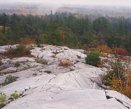
The Crack Killarney
Northeastern Ontario
Halfway Lake Provincial Park
Northeastern Ontario
Hiking near Barrie
146 trails to explore ~237 km away
We work hard to provide the most up-to-date and error-free data possible. If something seems incorrect, let us know! Your contribution helps the whole community.
Hikers' opinions
Be the first to review!
No hiker has shared their experience yet. Share your impressions and help other hikers!