
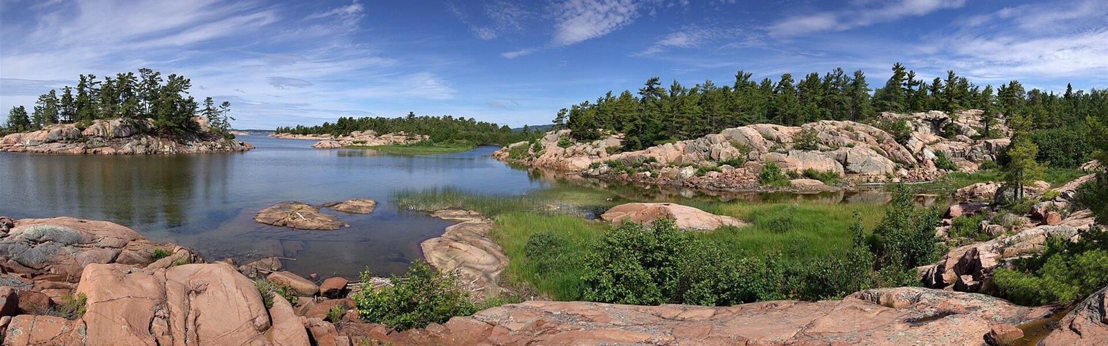
Ready to explore Chikanishing Trail (Killarney)? Here's everything you need to know before you go!
Discover the trail
Available trails
| TrailTrails | Dist.Distance | GainElevation | TimeDuration | Difficulty | GPX |
|---|---|---|---|---|---|
|
Intermediate
|
2.4 km | — | 1h30 | Intermediate |
Trail description
The route
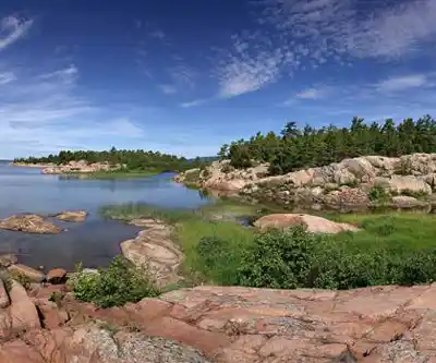
According to Ontario Parks, the Chikanishing Trail winds along the park's southern boundary, crosses a series of small ridges and ends on a wave-washed point on Georgian Bay. Killarney Outfitters describes it as a loop starting at the end of Chikanishing Road, 2 km west of the park office, with parking and a privy nearby. The windswept vegetation includes large pine, oak, maple and shrubs where soil pockets allow. Black metal mooring rings from the logging era can still be seen, and interpretive plaques tell the history of the area.
How far is it?
Sources disagree: Ontario Parks says 3 km (about 1.5 hours), Killarney Outfitters about 2 km (about 1.5 hours) and the Ontario Hiking blog 3.5 km (a little under 2 hours with stops). The trail sections mapped in OpenStreetMap add up to 2.4 km from the parking lot: that is the value used here. The 1.5-hour time is the one from Ontario Parks and Killarney Outfitters.
Terrain and footwear
The terrain is rocky, with a series of ridges and a few steep climbs (Ontario Hiking). Killarney Outfitters warns that rock surfaces are very slippery in wet weather. The blog also notes that the first half is exposed to the sun and that the forest section can have insects (black flies and mosquitoes). Bring shoes with good grip, water, a hat and sunscreen.
Dogs and rules
Dogs must be on a leash no longer than 2 m at all times. They are not allowed in swimming areas or on beaches; the minimum fine is $95.
Permit and parking
Ontario Parks requires a valid permit for every vehicle in the park, and parking must be in a designated area (minimum fine $30 otherwise). The trail's parking lot is mapped as a permit-access lot in OpenStreetMap. The park does not publish the permit amount for this lot: call 705-287-2900 before you go.
Going further
On the same activities page, Ontario Parks also lists Granite Ridge (2 km, about 1 hour, moderate, two lookouts) and The Crack (6 km, about 4 hours, difficult), meant for fit hikers who can start early.
Services and amenities
Everything you need for your next hike. Bilingual, printable, 1 page.
Get your free hiking checklistRecommended gear for this trail
As an Amazon Associate I earn from qualifying purchases.


Ready to go?
Everything you need to know before you goStarting Point
At the end of Chikanishing Road, 2 km west of the Killarney Provincial Park office (960 Highway 637). The trail starts from the parking lot.
When?
Park open January 1 to December 31, 2026. Ontario Parks publishes no hours for this trail.
How much?
As an Amazon Associate I earn from qualifying purchases.
Affiliate links — LGPO may earn a commission at no extra cost to you.
- Hiking shoes Essential
- → Salomon Elixir Tour Mid WP · 203.38 $
- Layered clothing Essential
- Rain jacket Essential
- Trekking poles
- → Black Diamond Trail Ergo Cork · 69.99 $
- Headlamp
- → Petzl Actik Core 625 · 103.95 $
FAQ - Frequently asked questions
Everything you need to knowAlternatives and suggestions
The trail is part of Killarney Provincial Park. For a difficult route, see The Crack; Ontario Parks also lists Granite Ridge (2 km, two lookouts).
Outings near Chikanishing Trail (Killarney)
Discover other trails you might enjoy

Killarney Provincial Park
Northeastern Ontario · 2.3 km away
La Cloche Silhouette Trail
Northeastern Ontario · 2.3 km away
The Crack Killarney
Northeastern Ontario · 8.8 km away
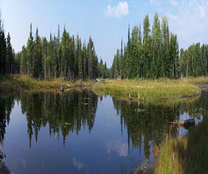
Silver Peak, Ontario
Northeastern Ontario · 16.2 km away
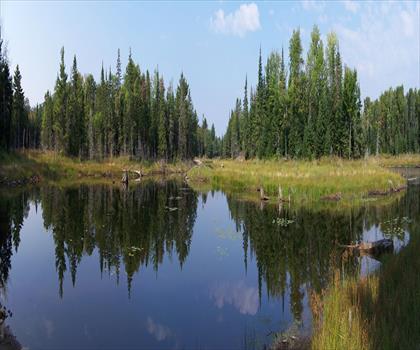
Point Grondine Park
Northeastern Ontario · 20.1 km away
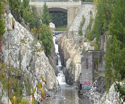
Mount Ararat
Northeastern Ontario · 32.7 km away
Hiking near Barrie
145 trails to explore ~224 km away
We work hard to provide the most up-to-date and error-free data possible. If something seems incorrect, let us know! Your contribution helps the whole community.
Hikers' opinions
Be the first to review!
No hiker has shared their experience yet. Share your impressions and help other hikers!