
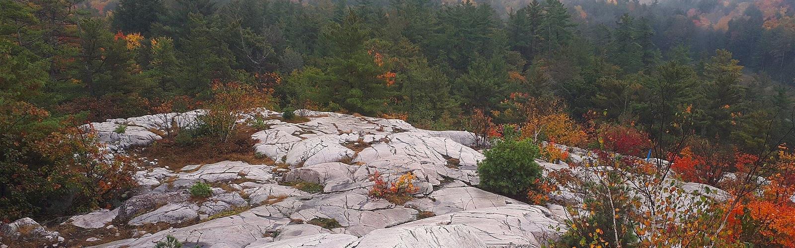

Ready to explore The Crack (Killarney)? Here's everything you need to know before you go!
Discover the trail
Available trails
| TrailTrails | Dist.Distance | GainElevation | TimeDuration | Difficulty | GPX |
|---|---|---|---|---|---|
|
Advanced
|
7.6 km | — | 2h | Advanced |
Trail description
The route
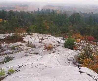
The Crack is an out-and-back trail in Killarney Provincial Park. It starts from its own parking lot on Highway 637 and ends at the top of Killarney Ridge, with views of the La Cloche Mountains, their white quartzite cliffs, and the lakes.
The start is nearly flat and follows a lake for about 800 m, with places to swim. The trail then joins the La Cloche Silhouette Trail, which splits off after about 1.5 km. The climb goes through steep forested hills, then up a valley full of large boulders, "the Crack", before the bare rock of the summit.
What to know about the distance
Sources disagree: Ontario Parks says 6 km, Wikipedia 7.5 km, Ontario High Points 7.6 km. The mapped route in OpenStreetMap measures 3.8 km from the parking lot to the summit, so 7.6 km out and back: that is the value used here. None of the sources consulted gives an elevation gain, so none is shown. The summit's altitude is 355 m.
Difficulty
Ontario Parks rates The Crack "difficult". Wet rock is slippery, with loose cobble, crumbly soil, roots and boulders to climb: going down is often harder than going up. You need to be fit and start early. Not recommended for children under seven, and no strollers or wagons. Small or older dogs do not belong here.
Rules and safety
- Dogs on a leash no longer than 2 m at all times; carry water for them.
- At least 2 L of water per person.
- Do not hike in rain or thunderstorms (Ontario Parks).
- Black bears are present. No campfires or camping on the trail; cans and glass bottles are banned.
When to go
The trail is open year-round, but winter calls for very high skill and checking in with the park. The rest of the year, what matters most is the hour: the lot is small and fills early. A vehicle permit is required for this specific lot.
If it is too much
The Granite Ridge Trail (2 km, about 1 hour, moderate) gives views of La Cloche from two lookouts, and the Chikanishing Trail (3 km, about 1.5 hours, moderate) runs along Georgian Bay. All Killarney trails have uneven, rocky terrain.
Services and amenities
This information may vary by season.
The Essential Hiking Checklist
Everything you need for your next hike. Bilingual, printable, 1 page.
Get your free hiking checklistRecommended gear for this trail
As an Amazon Associate I earn from qualifying purchases.


Ready to go?
Everything you need to know before you goStarting Point
On Highway 637, about 50 km west of Highway 69 (junction about 41 km south of Sudbury), at The Crack parking lot, 7 km east of the George Lake permit office. The trail starts from the lot.
When?
Trail open 365 days a year. Be back at the trailhead at least an hour before dark; in summer, do not start after 5 p.m.
How much?
As an Amazon Associate I earn from qualifying purchases.
Affiliate links — LGPO may earn a commission at no extra cost to you.
- Hiking shoes Essential
- → Salomon Elixir Tour Mid WP · 203.38 $
- Layered clothing Essential
- Rain jacket Essential
- Trekking poles
- → Black Diamond Trail Ergo Cork · 69.99 $
- Headlamp
- → Petzl Actik Core 625 · 103.95 $
FAQ - Frequently asked questions
Everything you need to knowAlternatives and suggestions
The Crack is part of Killarney Provincial Park. For other trails in the park, see the park page. A shorter option: Granite Ridge (2 km, two lookouts over La Cloche).
Similar hikes nearby
Discover other trails you might enjoy

Wolf Lake Mountain, Ontario
Northeastern Ontario
Daisy Lake
Northeastern Ontario
Mount Ararat
Northeastern Ontario
Ghost Range
Northeastern Ontario
Halfway Lake Provincial Park
Northeastern Ontario
Lake Temagami
Northeastern Ontario
Hiking near Barrie
146 trails to explore ~224 km away
We work hard to provide the most up-to-date and error-free data possible. If something seems incorrect, let us know! Your contribution helps the whole community.
Hikers' opinions
Be the first to review!
No hiker has shared their experience yet. Share your impressions and help other hikers!