
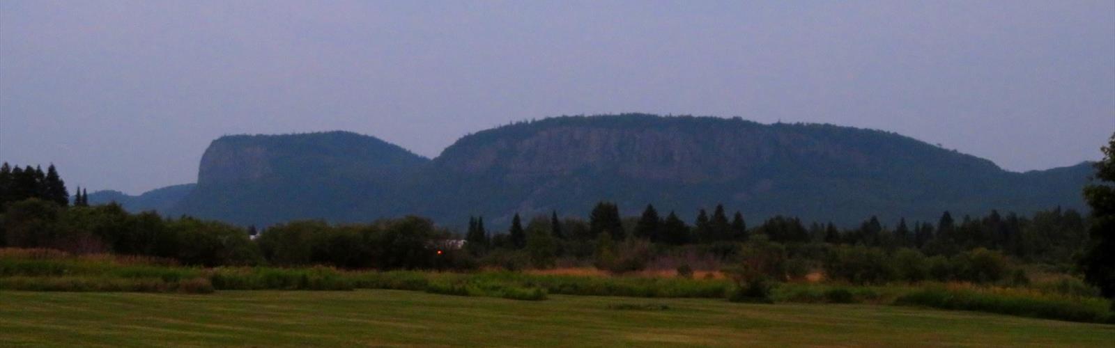

Ready to explore Silver Falls Provincial Park? Here's everything you need to know before you go!
Discover the trail
Trail description
Silver Falls Provincial Park is one of northeastern Ontario's quieter escapes — the kind of place that doesn't show up on every hiking list but delivers a genuinely satisfying day out in the boreal wilderness. The trail system covers 10 kilometers of well-maintained paths, gains 150 meters of elevation, and takes most hikers around an hour and a half to complete. The easy difficulty rating makes it a solid choice for families, casual hikers, or anyone looking for a rewarding walk without a brutal climb.
The park's centerpiece is Silver Falls itself — a cascading waterfall that anchors the whole experience and gives you something concrete to hike toward. The combination of dense forest, moving water, and manageable terrain makes this a well-rounded outing rather than a single-note destination.
Trail Experience and Terrain
The trails here move through classic northeastern Ontario boreal forest — spruce, fir, and birch dominating the canopy, with a mossy understory that stays cool and shaded even on warm summer days. The paths are well-maintained and easy to follow, so you won't spend energy second-guessing the route.
The 150 meters of elevation gain is spread out gradually across the 10 kilometers, which is part of why this rates as easy. There are no sustained steep pitches that will leave you gasping — instead, the trail rises and dips naturally with the terrain, with some rockier sections as you get closer to the falls. You'll encounter a mix of forest floor, rocky outcroppings, and stream-side stretches that keep the walk interesting without making it technical.
As you approach Silver Falls, the sound of the water builds well before you see it — a reliable sign you're getting close. The falls themselves are the payoff: a powerful cascade that showcases exactly what makes Ontario's boreal waterways worth seeking out. The viewing areas give you solid vantage points to take it all in and get your photos without scrambling around on loose rock.
Wildlife and Natural Features
The park supports the kind of wildlife you'd expect from healthy northeastern Ontario boreal habitat. Deer are a common sight, particularly in the early morning or toward dusk. Foxes are around too, though they tend to stay out of sight unless you're moving quietly and paying attention.
Birdwatchers will find the mixed forest and water combination productive. The habitat draws both year-round boreal species and seasonal migrants, so what you see depends heavily on when you visit. The stream corridors in particular tend to concentrate bird activity, so slow down near the water and keep your ears open.
The plant communities along the trail are worth noticing as well. The boreal understory shifts as you move through different sections — from dense moss carpets under the conifers to more open areas near the rocky outcroppings where different species take hold. It's not dramatic, but it adds texture to the walk if you're paying attention.
Seasonal Considerations
Each season changes the character of the park noticeably. Spring is when Silver Falls runs at its most powerful — snowmelt pushes the water volume up significantly, and the falls are at their most dramatic. The forest is coming back to life, and wildlife activity picks up after winter. Trails can be muddy in early spring, so waterproof boots matter more than usual.
Summer is the most comfortable season for the hike. The forest canopy keeps temperatures manageable even on hot days, and the 10-kilometer distance is easy to complete without heat being a major factor. Bug season is real in northeastern Ontario, so bring repellent if you're visiting in June or July.
Fall is arguably the most visually rewarding time to visit. The mixed forest puts on a strong show of reds, oranges, and yellows, and the moderate elevation changes give you a few spots where you can look out over the surrounding landscape and appreciate the full scope of the color. The falls are still running well in early autumn, so you get both the foliage and the water.
Winter visits are possible for hikers with the right gear and cold-weather experience. Snow-covered trails and ice formations around the falls create a completely different atmosphere — quieter and more remote-feeling than any other season. The 1.5-hour estimated time stretches out in winter conditions, so plan accordingly and make sure you're dressed for the temperature.
Practical Information
Sturdy hiking boots are the most important gear decision for this trail. The mix of forest paths, rocky sections, and stream-side terrain rewards good ankle support and traction — trail runners work fine in dry summer conditions, but boots are the safer call for spring, fall, or any time after rain.
Bring water and snacks regardless of the easy rating. An hour and a half of hiking in boreal forest, especially in warmer months, will have you reaching for both. There's no reliable water source on trail that you'd want to drink from without treatment.
Check the weather before you head out. Northeastern Ontario weather can shift quickly, and while the forest provides some shelter from wind and light rain, being caught underprepared on a cold or wet day takes the fun out of an otherwise straightforward hike. A light rain layer in your pack is cheap insurance.
Stay on the marked trails and pack out everything you bring in. Silver Falls Provincial Park stays in good shape because visitors treat it well — keeping that standard going is part of what makes it worth coming back to.
The Essential Hiking Checklist
Everything you need for your next hike. Bilingual, printable, 1 page.
Get your free hiking checklistRecommended gear for this trail
As an Amazon Associate I earn from qualifying purchases.


Ready to go?
Everything you need to know before you goStarting Point
The easiest way to get to the start of the trails at silver falls provincial park is to take Highway 11 north from Toronto and exit onto Highway 35. Follow Highway 35 east until you reach the park.
When?
How much?
As an Amazon Associate I earn from qualifying purchases.
Affiliate links — LGPO may earn a commission at no extra cost to you.
- Hiking shoes Essential
- → Salomon Elixir Tour Mid WP · 203.38 $
- Layered clothing Essential
- Rain jacket Essential
- Trekking poles
- → Black Diamond Trail Ergo Cork · 69.99 $
- Headlamp
- → Petzl Actik Core 625 · 103.95 $
FAQ - Frequently asked questions
Everything you need to knowSimilar hikes nearby
Discover other trails you might enjoy

Kabeyun Trail, Sleeping Giant Provincial Park, Ontario
Northwestern Ontario
Quetico Provincial Park
Northwestern Ontario
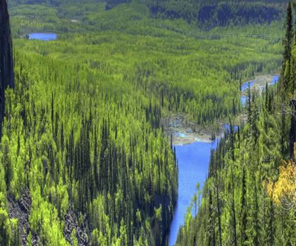
Ouimet Canyon Provincial Park
Northwestern Ontario
Rushing River Provincial Park
Northwestern Ontario
Kakabeka Falls Provincial Park
Northwestern Ontario
Aguasabon Falls
Northwestern Ontario
Hiking near Winnipeg
17 trails to explore ~562 km away
We work hard to provide the most up-to-date and error-free data possible. If something seems incorrect, let us know! Your contribution helps the whole community.
Hikers' opinions
Be the first to review!
No hiker has shared their experience yet. Share your impressions and help other hikers!