


Ready to explore Sutton Ridges, Ontario? Here's everything you need to know before you go!
Discover the trail
Oh no! We don't have any photos 😢
This trail hasn't been captured yet. Be the first to share your adventure!Trail description
Sutton Ridges sits quietly in Ontario's countryside, offering hikers a genuine escape into rolling forested terrain without the crowds of more famous destinations. This trail winds through mixed hardwood forests and along gentle ridgelines, delivering an accessible yet rewarding experience that feels surprisingly remote despite its convenient location within the Bruce Peninsula, Southern Georgian Bay and Lake Simcoe region.
Trail Overview
The main route covers 5.5 km with 150 m of elevation gain, rated Moderate and typically completed in around 2 hours 15 minutes. That combination hits a sweet spot for hikers who want a real workout without committing to a full-day expedition. The elevation gain is distributed gradually across the route, so you're never grinding up a punishing slope — it's more of a sustained, steady climb that keeps things interesting without wearing you out.
Terrain and Trail Character
The trail begins in the lower elevations where the forest floor stays soft underfoot, cushioned by years of accumulated leaf litter. As you gain elevation, the terrain shifts — expect rocky sections and exposed root systems that demand a bit more attention to your footing. These aren't technical obstacles, but they do reward hikers who wear proper footwear. Sturdy trail shoes or hiking boots will handle everything you'll encounter here comfortably.
The ridge tops are the payoff. After moving through the dense lower canopy of maple, oak, and birch, the trail opens up at the higher elevations and delivers sweeping views across the surrounding countryside. These natural viewpoints make obvious rest stops, and they're worth lingering at rather than rushing through.
Stream crossings add variety to the route, with clear water moving over smooth stones. These sections tend to stay active through most of the hiking season and provide some of the more photogenic spots along the trail.
Wildlife and Seasonal Highlights
White-tailed deer are a regular presence here, particularly near stream corridors and forest edges. Smaller mammals — chipmunks, squirrels — are constant trail companions. The bird life is solid throughout the season, with woodpeckers, nuthatches, and various songbirds active in the mixed forest. Raptors occasionally work the thermals above the ridgelines, which is worth watching for when you're up top.
Spring is arguably the most visually striking time to hike Sutton Ridges. Before the canopy fully closes in late April and early May, the forest floor lights up with trilliums, bloodroot, and wild leeks. The light reaches the ground at angles you won't see again until fall, and the whole place feels wide open compared to the dense green tunnel of summer.
Summer hiking here means shade and cooler temperatures under a full canopy — a genuine advantage on hot days. Wildlife activity peaks in the early morning and evening hours, so an early start pays off. Autumn brings the full hardwood color show: layers of red, orange, and gold rolling across the ridges, and the clearest long-distance views of the year once the leaves drop and the sightlines open up.
What Makes Sutton Ridges Worth the Trip
What stands out about this trail is the variety packed into a relatively compact distance. Within a single 5.5 km outing, you move through dense lower forest, climb to open ridge walking, and pass through stream-side sections — three genuinely different hiking environments without having to drive between trailheads or plan a multi-day trip. That kind of natural diversity keeps the route engaging from start to finish.
The moderate difficulty level also makes this a strong option for hikers returning to the trail after time off, or for introducing older kids to terrain that has some real character without being overwhelming. The climbs are manageable, the footing is honest but not technical, and the ridge views provide clear motivation to keep moving uphill.
Planning Your Visit
Carry your own water regardless of the stream crossings along the route — treating or filtering natural water sources takes time and gear, and the trail is short enough that a single bottle or hydration pack covers the distance easily. Pack a snack for the ridge viewpoints; they're natural spots to stop and take in the surroundings before heading back down.
Trail conditions vary with the seasons. The lower sections can stay muddy well into spring, and the rocky ridge sections require more care when wet. Checking recent conditions before heading out is worth the few minutes it takes, particularly during shoulder seasons when weather patterns are less predictable.
An early start during peak fall weekends helps you get ahead of the crowds that the autumn color draws to the region — the trail is quieter and the light is better in the morning hours anyway.
The Essential Hiking Checklist
Everything you need for your next hike. Bilingual, printable, 1 page.
Get your free hiking checklistRecommended gear for this trail
As an Amazon Associate I earn from qualifying purchases.


Ready to go?
Everything you need to know before you goStarting Point
To access the hiking trails, you can start at one of several trailheads. The primary parking lot is located at 5021 Highway 10, just south of the main entrance. Alternatively, you can begin your hike from the secondary trailhead at 1234 Ridge Road, which offers additional parking options. Both locations are accessible by car and provide clear signage to guide you onto the trails.
When?
How much?
As an Amazon Associate I earn from qualifying purchases.
Affiliate links — LGPO may earn a commission at no extra cost to you.
- Hiking shoes Essential
- → Salomon Elixir Tour Mid WP · 203.38 $
- Layered clothing Essential
- Rain jacket Essential
- Trekking poles
- → Black Diamond Trail Ergo Cork · 69.99 $
- Headlamp
- → Petzl Actik Core 625 · 103.95 $
FAQ - Frequently asked questions
Everything you need to knowSimilar hikes nearby
Discover other trails you might enjoy

Kabeyun Trail, Sleeping Giant Provincial Park, Ontario
Northwestern Ontario

Quetico Provincial Park
Northwestern Ontario
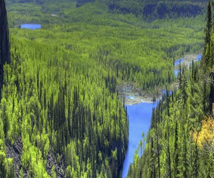
Ouimet Canyon Provincial Park
Northwestern Ontario
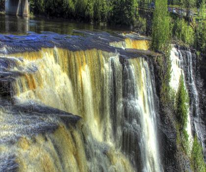
Kakabeka Falls Provincial Park
Northwestern Ontario
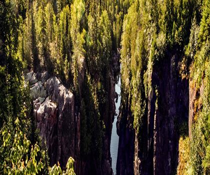
Aguasabon Falls
Northwestern Ontario
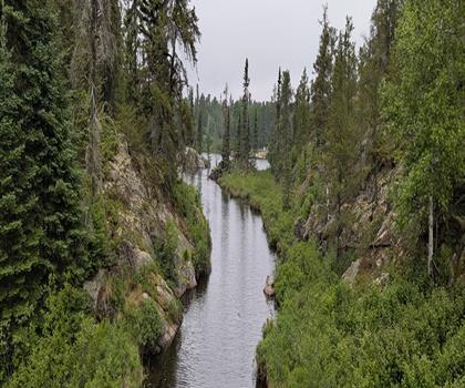
Rushing River Provincial Park
Northwestern Ontario
Hiking near Winnipeg
17 trails to explore ~994 km away
We work hard to provide the most up-to-date and error-free data possible. If something seems incorrect, let us know! Your contribution helps the whole community.
Hikers' opinions
Be the first to review!
No hiker has shared their experience yet. Share your impressions and help other hikers!