

Ready to explore Réserve faunique de Port-Cartier-Sept-Îles? Here's everything you need to know before you go!
Discover the trail


Available trails
| TrailTrails | Dist.Distance | GainElevation | Est. timeEstimated time | Difficulty | GPX |
|---|---|---|---|---|---|
|
Beginner
|
1 km | — | Beginner | ||
|
Beginner
|
7 km | — | Beginner | ||
|
Intermediate
|
1.5 km | 140 m | ≈ 33min | Intermediate | |
|
Intermediate
|
1 km | 60 m | ≈ 19min | Intermediate |
Trail description
The Port-Cartier–Sept-Îles Wildlife Reserve is a boreal-forest territory of 6,423 square kilometres on Quebec's North Shore. It was created in 1965 and is managed by Sépaq. Its main entrance is in Port-Cartier, reached by Route 138.
Hiking trails
Three hiking trails are named in the regional tourism listing for the reserve:
- De la Montagne trail: 2 km.
- Lac Carré trail: 7 km of hiking.
- Chute-MacDonald trail: a 1 km walk near the cabins, leading to a lookout and a footbridge.
Sépaq publishes a hiking map of the Chute-MacDonald trail (2021) as a free download, usable in the Avenza Maps app only. You can reach the reserve at 418 766-2524 or 1 800 665-6527.
Lac Walker and MacDonald Falls
Lac Walker is a glacial lake used for canoeing. The reserve's cabins and campsites are mainly on the shores of lakes Walker and Arthur. A footbridge leads to MacDonald Falls, on the MacDonald River.
Forest and wildlife
The forest is made up of conifers, including black spruce, white spruce, balsam fir and tamarack, with birch and trembling aspen. The reserve has about 1,000 lakes and 15 rivers. Wildlife listed for the reserve includes moose, black bear, boreal woodland caribou, wolf, lynx and beaver, along with resident ruffed grouse and spruce grouse and migratory birds in spring and autumn.
Other ways to explore
- Canoe-camping routes on the MacDonald River (42 km) and the aux Rochers River (a 10 km descent reserved for experienced paddlers).
- Wild berry picking (blueberries and raspberries) and birdwatching.
- Fishing and, in the fall, hunting, both subject to the reserve's regulations.
Services and amenities
Everything you need for your next hike. Bilingual, printable, 1 page.
Get your free hiking checklistRecommended gear for this trail
As an Amazon Associate I earn from qualifying purchases.


Ready to go?
Everything you need to know before you goStarting Point
The trailhead for the Port-Cartier-Sept-Îles Wildlife Reserve is located at the entrance to the village of Port-Cartier, on Route 138.
When?
How much?
As an Amazon Associate I earn from qualifying purchases.
Affiliate links — LGPO may earn a commission at no extra cost to you.
- Hiking shoes Essential
- → Salomon Elixir Tour Mid WP · 203.38 $
- Layered clothing Essential
- Rain jacket Essential
- Trekking poles
- → Black Diamond Trail Ergo Cork · 69.99 $
- Headlamp
- → Petzl Actik Core 625 · 103.95 $
FAQ - Frequently asked questions
Everything you need to knowOutings near Réserve faunique de Port-Cartier-Sept-Îles
Discover other trails you might enjoy

Réserve faunique des Chic-Chocs
Gaspésie · 119.3 km away

Mont Jacques Ferron
Gaspésie · 124.5 km away
Mont des Loupes
Gaspésie · 125.6 km away
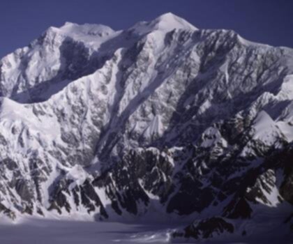
Mont Logan
Gaspésie · 127.5 km away

Boisé de la Pointe Saint-Gilles
North Shore · 128.8 km away
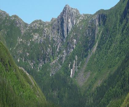
Mont Rolland-Germain
Gaspésie · 130.7 km away
Hiking near Fredericton
11 trails to explore ~452 km away
We work hard to provide the most up-to-date and error-free data possible. If something seems incorrect, let us know! Your contribution helps the whole community.
Hikers' opinions
Be the first to review!
No hiker has shared their experience yet. Share your impressions and help other hikers!