
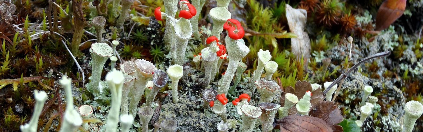

Ready to explore Mont Les Cônes? Here's everything you need to know before you go!
Discover the trail
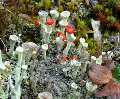
Trail description
Mont les Cônes is one of those lesser-known gems tucked into the Gaspésie region of Quebec that rewards curious hikers willing to venture off the more beaten paths. Rising above the surrounding landscape with a distinctive profile, this summit offers a genuine mountain experience in one of eastern Canada's most dramatic natural settings.
The Terrain
The approach to Mont les Cônes takes you through classic Gaspésie backcountry — a landscape shaped by ancient geology, boreal forest, and the kind of rugged topography that defines this corner of Quebec. The trail winds through dense coniferous stands before opening up as you gain elevation, gradually revealing the sweeping views that make the climb worthwhile. The name itself — "les Cônes" — reflects the mountain's characteristic conical shape, a visual landmark that stands out even from a distance.
As you move higher, the vegetation shifts noticeably. The thick spruce and fir forest of the lower slopes gives way to more exposed terrain near the upper reaches, where wind-sculpted krummholz and open rocky sections become the norm. Footing can be uneven in places, so sturdy footwear with good ankle support is a smart call regardless of conditions.
What Makes This Hike Stand Out
Gaspésie is already known for some of the most spectacular hiking in eastern North America — the Chic-Chocs range, the high plateaus, the coastal cliffs. Mont les Cônes fits naturally into that landscape, offering a summit experience that feels genuinely earned without requiring the multi-day commitment of some of the region's bigger objectives.
The views from the upper sections are a major draw. On a clear day, the Gaspésie panorama stretches wide — forested ridgelines, river valleys, and depending on your position, glimpses toward the St. Lawrence. This is the kind of scenery that makes you stop moving and just look for a while.
Wildlife is a real possibility in this part of Quebec. Gaspésie is home to woodland caribou, moose, black bear, and a rich variety of bird species. Keep your eyes open and your noise level reasonable, especially in the early morning or late afternoon hours when animal activity tends to peak.
Practical Information
Before heading out, it's worth doing a bit of homework specific to Mont les Cônes. Trail conditions in Gaspésie can vary significantly by season — the region sees heavy snowfall in winter, and spring snowmelt can linger well into June at higher elevations. Summer and early fall generally offer the most reliable conditions for reaching the summit.
- Footwear: Waterproof hiking boots are strongly recommended. Wet roots and muddy sections are common, especially after rain or during shoulder seasons.
- Navigation: Carry a map and know how to use it. Cell coverage in remote Gaspésie terrain is inconsistent at best.
- Water: Bring more than you think you'll need. Confirm whether water sources along the route are reliable before relying on them.
- Weather: Mountain weather in Gaspésie changes fast. Start early, watch the sky, and don't push for the summit if conditions are deteriorating.
- Leave No Trace: Pack out everything you bring in. This area's ecosystems are sensitive, particularly at higher elevations where recovery from disturbance is slow.
Getting There
Mont les Cônes is located in the Gaspésie–Îles-de-la-Madeleine region of Quebec. Access details, trailhead parking, and any applicable fees or permits should be confirmed locally before your trip, as conditions and regulations can change. Checking with regional tourism offices or local hiking clubs is a reliable way to get current, accurate information before you head out.
Who This Hike Is For
Mont les Cônes suits hikers who are comfortable on uneven, natural terrain and have some experience navigating in a backcountry environment. The Gaspésie setting means you're genuinely in the wilderness here — that's a big part of the appeal, but it also means self-sufficiency matters. Come prepared, let someone know your plans, and give yourself enough time to move at a comfortable pace without racing the daylight.
For those already familiar with Gaspésie hiking, Mont les Cônes is a natural addition to the list — a summit with its own character, its own views, and the kind of quiet that's getting harder to find.
The Essential Hiking Checklist
Everything you need for your next hike. Bilingual, printable, 1 page.
Get your free hiking checklistRecommended gear for this trail
As an Amazon Associate I earn from qualifying purchases.


Ready to go?
Everything you need to know before you goWhen?
How much?
As an Amazon Associate I earn from qualifying purchases.
Affiliate links — LGPO may earn a commission at no extra cost to you.
- Hiking shoes Essential
- → Salomon Elixir Tour Mid WP · 203.38 $
- Layered clothing Essential
- Rain jacket Essential
- Trekking poles
- → Black Diamond Trail Ergo Cork · 69.99 $
- Headlamp
- → Petzl Actik Core 625 · 103.95 $
FAQ - Frequently asked questions
Everything you need to knowSimilar hikes nearby
Discover other trails you might enjoy

Parc National De La Gaspésie
Gaspésie
Plage Haldimand
Gaspésie

Réserve Faunique De Matane
Gaspésie

Mont Saint-Pierre
Gaspésie

Mont Vallieres-de-Saint-Real
Gaspésie

Parc National Du Canada Forillon
Gaspésie
Hiking near Moncton
14 trails to explore ~330 km away
We work hard to provide the most up-to-date and error-free data possible. If something seems incorrect, let us know! Your contribution helps the whole community.
Hikers' opinions
Be the first to review!
No hiker has shared their experience yet. Share your impressions and help other hikers!