
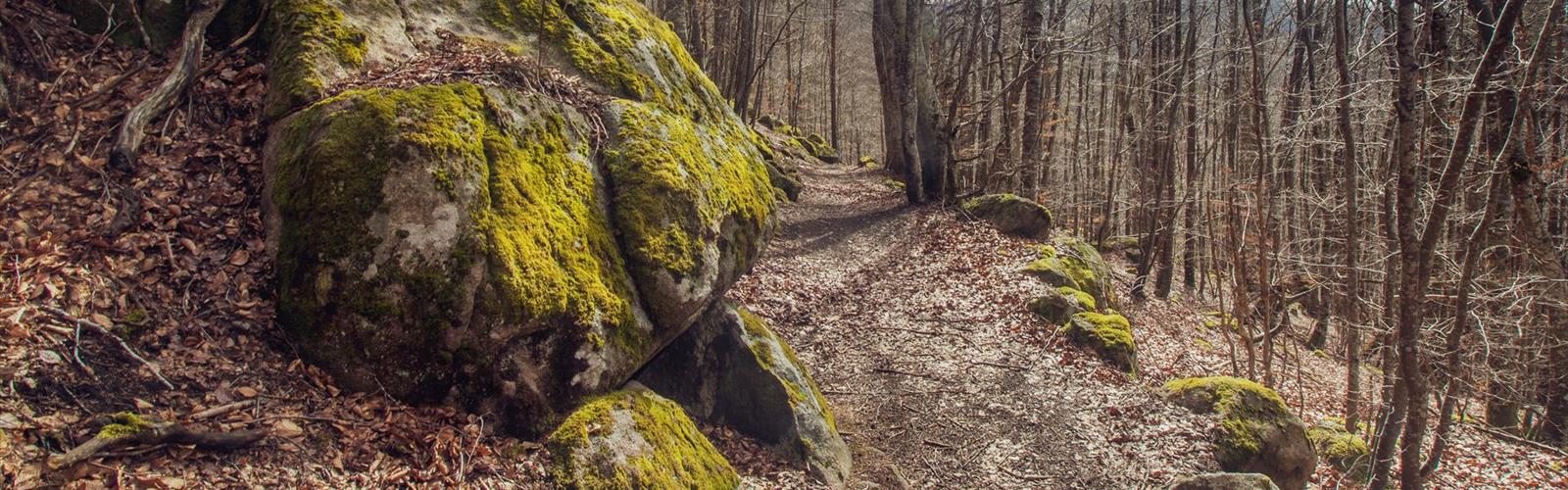
Ready to explore Parc naturel régional Livradois-Forez? Here's everything you need to know before you go!
Discover the trail
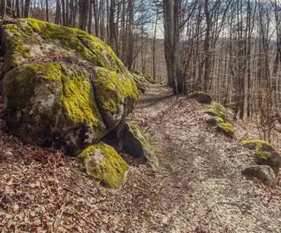
Trail description
Sprawling across nearly 320,000 hectares (3,200 km²) in the Auvergne-Rhône-Alpes region, the Livradois-Forez Regional Nature Park is one of France's largest protected areas and one of its most rewarding hiking destinations. Straddling the departments of Puy-de-Dôme, Haute-Loire, and Loire, the park encompasses three distinct geographical zones that each bring their own character to the trail experience — meaning two hikes in the same park can feel like entirely different trips.
Everything you need for your next hike. Bilingual, printable, 1 page.
Get your free hiking checklistReady to go?
Everything you need to know before you goStarting Point
The trailhead for the Livradois-Forez Regional Nature Park is located in Saint-Anthème, Auvergne-Rhône-Alpes. To get there, take the D1089 in the direction of Saint-Anthème and follow the signs to the trailhead parking lot.
When?
Tuesday: 9:00 AM – 12:30 PM, 1:30 – 5:30 PM
Wednesday: 9:00 AM – 12:30 PM, 1:30 – 5:30 PM
Thursday: 9:00 AM – 12:30 PM, 1:30 – 5:30 PM
Friday: 9:00 AM – 12:30 PM, 1:30 – 4:30 PM
Saturday: Closed
Sunday: Closed
How much?
- Hiking shoes Essential
- Layered clothing Essential
- Rain jacket Essential
- Trekking poles
- Headlamp
FAQ - Frequently asked questions
Everything you need to knowOutings near Parc naturel régional Livradois-Forez
Discover other trails you might enjoy
Parc naturel régional des Volcans d'Auvergne
Puy-de-Dôme · 20.6 km away

Gorges de Ceyrat
Puy-de-Dôme · 42.6 km away
Puy-de-Dôme
Puy-de-Dôme · 46.2 km away
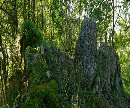
Cascade de la Pisserote
Allier · 49.5 km away
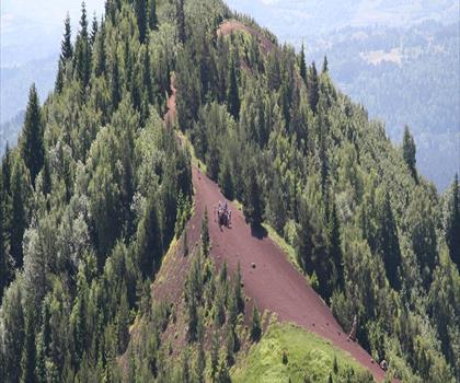
Puy de la Vache
Puy-de-Dôme · 50.3 km away
Cascades de Chiloza
Puy-de-Dôme · 54.9 km away
Hiking near Sydney
25 trails to explore ~4811 km away
We work hard to provide the most up-to-date and error-free data possible. If something seems incorrect, let us know! Your contribution helps the whole community.
Hikers' opinions
Be the first to review!
No hiker has shared their experience yet. Share your impressions and help other hikers!