

Ready to explore Cascade de la Pisserote? Here's everything you need to know before you go!
Discover the trail
Trail description
The Cascade de la Pisserote stands as one of the Allier department's most rewarding waterfall hikes, offering a perfect blend of forest walking and dramatic water features. This hidden gem tucked away in the volcanic landscape of central France provides hikers with an intimate encounter with the region's geological heritage, where ancient lava flows have carved spectacular cascades through the wooded terrain.
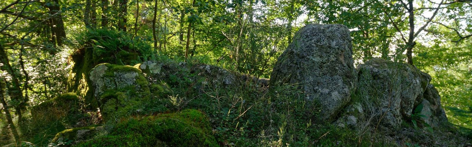
The trail winds through dense mixed forest dominated by beech, oak, and chestnut trees, creating a natural canopy that provides welcome shade during summer months. As you progress along the path, the sound of rushing water grows steadily louder, building anticipation for the main attraction. The forest floor is typically carpeted with ferns and moss, creating that quintessential French woodland atmosphere that makes hiking in the Allier so distinctive.
The Waterfall Experience
The Cascade de la Pisserote itself is a multi-tiered waterfall that drops through a series of rocky ledges carved from volcanic rock. The water cascades down through multiple falls rather than one dramatic plunge, with each tier offering its own character, from gentle slides over smooth rock faces to more forceful drops into deep pools below.
The main viewing area provides excellent photo opportunities, with the waterfall framed by the surrounding forest. During spring snowmelt and after heavy rains, the cascade runs at full force, creating an impressive display of natural power. Even during drier summer periods, the falls maintain a steady flow that keeps the surrounding rocks glistening and the air refreshingly cool.
Trail Characteristics and Terrain
This moderate hike covers approximately 2.5 kilometers with an elevation gain of 150 meters, making it accessible to most hikers while still providing a satisfying workout. The estimated hiking time of 1 hour and 30 minutes allows for a leisurely pace with plenty of opportunities to appreciate the forest environment and take photos at the waterfall.
The path follows well-established hiking trails that showcase the diverse terrain typical of the Allier region. Hikers will encounter a mix of packed earth paths, rocky sections, and occasional stream crossings. The volcanic origin of the landscape is evident throughout the hike, with distinctive basalt formations and rich, dark soil that supports the lush vegetation.
The trail includes some moderately steep sections, particularly as you approach the waterfall area where the terrain becomes more rugged. Good hiking boots are recommended, especially during wet conditions when the rocks near the falls can become slippery. The path is generally well-marked, though some sections may require careful navigation, particularly where smaller side trails branch off toward different viewpoints.
Seasonal Considerations
Spring offers perhaps the most spectacular waterfall viewing, when snowmelt and seasonal rains ensure maximum water flow. The forest comes alive with new growth, and wildflowers add splashes of color to the woodland floor. However, trails may be muddy and stream crossings more challenging during this period.
Summer provides the most comfortable hiking conditions, with dry trails and pleasant temperatures under the forest canopy. While the waterfall may run lower than in spring, the pools at the base of the falls offer opportunities for cooling off, though the water remains quite cold year-round.
Autumn transforms the forest into a spectacular display of colors, with the mixed deciduous trees creating a brilliant canopy overhead. The waterfall takes on a different character as fallen leaves collect in the pools and the surrounding rocks become decorated with autumn's palette.
Winter hiking is possible but requires extra caution, as ice can form on rocks near the waterfall and on shaded sections of the trail. The bare trees provide different perspectives of the landscape, and the waterfall often develops interesting ice formations during cold spells.
Wildlife and Natural Features
The forested environment around the Cascade de la Pisserote supports diverse wildlife typical of the Allier region. Hikers may spot various bird species, including woodpeckers, nuthatches, and seasonal migrants. The forest floor hosts numerous small mammals, though they're more often heard than seen. The area around the waterfall creates a unique microclimate that supports specialized plant communities adapted to the constant moisture.
The geological features extend beyond just the waterfall itself. The entire area showcases the volcanic heritage of the Massif Central, with interesting rock formations and mineral deposits visible along the trail. The interaction between water and volcanic rock over thousands of years has created the sculpted landscape that makes this hike so visually compelling.
Practical Hiking Information
The trail requires standard day hiking equipment, with sturdy footwear being particularly important given the rocky terrain and potentially wet conditions near the waterfall. Trekking poles can be helpful for the steeper sections and when navigating wet rocks. A waterproof layer is advisable, both for potential weather changes and for getting close to the falls where spray can be significant.
Photography enthusiasts should bring protection for their equipment, as the mist from the waterfall can affect cameras and lenses. The lighting conditions vary dramatically from the bright forest clearings to the shadowed areas near the falls, so versatile camera settings or multiple lenses may be beneficial.
The hike is suitable for families with older children who are comfortable with moderate terrain and some scrambling over rocks. Younger children should be closely supervised, particularly near the waterfall where wet rocks and steep drops require extra caution.
Water sources are available along the trail, though it's advisable to bring sufficient drinking water for the entire hike. The streams and waterfall, while beautiful, should not be considered reliable sources of drinking water without proper treatment.
The Essential Hiking Checklist
Everything you need for your next hike. Bilingual, printable, 1 page.
Get your free hiking checklistRecommended gear for this trail
As an Amazon Associate I earn from qualifying purchases.


Ready to go?
Everything you need to know before you goWhen?
How much?
As an Amazon Associate I earn from qualifying purchases.
Affiliate links — LGPO may earn a commission at no extra cost to you.
- Hiking shoes Essential
- → Salomon Elixir Tour Mid WP · 203.38 $
- Layered clothing Essential
- Rain jacket Essential
- Trekking poles
- → Black Diamond Trail Ergo Cork · 69.99 $
- Headlamp
- → Petzl Actik Core 625 · 103.95 $
FAQ - Frequently asked questions
Everything you need to knowHiking near Sydney
22 trails to explore ~4802 km away
We work hard to provide the most up-to-date and error-free data possible. If something seems incorrect, let us know! Your contribution helps the whole community.
Hikers' opinions
Be the first to review!
No hiker has shared their experience yet. Share your impressions and help other hikers!