


Ready to explore Forêt Départementale de la Cantinière? Here's everything you need to know before you go!
Discover the trail
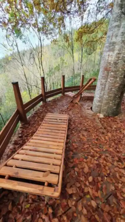
Trail description
The Forêt Départementale de la Cantinière is one of those spots that doesn't try too hard — it just delivers a solid, enjoyable time in the woods. Managed by the Rhône department, this forest gives you a genuine woodland experience without the crowds or the logistical headaches of bigger destinations. It's the kind of place locals return to regularly, and once you've walked it, you'll understand why.
With around 200 meters of elevation gain and an estimated hiking time of about an hour and twenty minutes, this is firmly in easy territory. That doesn't mean it's flat or boring — the terrain has enough character to keep things interesting — but you won't need to train for it or pack a week's worth of supplies.
What the Terrain Actually Feels Like
The forest moves through a mix of deciduous and coniferous sections, and the transitions between them are part of what makes the walk feel varied. One stretch you're under a dense canopy of oak and beech, the next you're moving through pine where the light filters differently and the ground underfoot changes texture. It keeps your attention in a low-key, pleasant way.
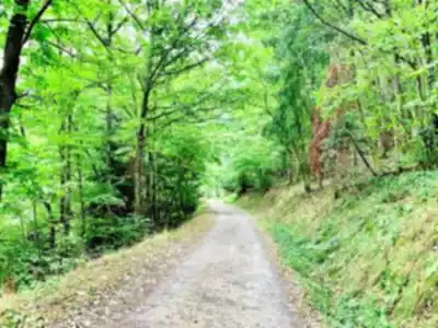
The paths themselves range from wide forest roads — the kind that are easy to walk side by side on — to narrower single-track sections where you're more in among the trees. The surface is mostly packed earth with occasional rocky patches, and after rain you'll find the usual muddy stretches that come with any forest trail. Nothing technical, but worth wearing proper footwear rather than sneakers.
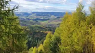
The 200 meters of elevation are spread across the route rather than concentrated in one brutal climb, which is part of why this rates as easy. You'll feel the gentle ascents, get the small reward of a ridgeline or a view through the trees, then come back down through a valley section. The undulating rhythm of it is genuinely enjoyable rather than just tolerable.
Wildlife and What You Might Notice
The forest supports the kind of wildlife you'd expect from a well-established French woodland. Deer are present — your best chance of spotting them is early morning or late afternoon when they're more active near the trail edges. The bird life is solid, with the mix of tree species creating different habitat zones that attract a range of species. If you're even mildly interested in birds, bring binoculars.
Small streams and seasonal water features show up along the route, and these tend to be natural pause points. They're where you'll hear the most activity — insects, birds, the occasional rustle in the undergrowth. The oak sections in particular support a dense understory that gives the forest a layered, alive quality rather than the stripped-down feel of a monoculture plantation.
The diversity of tree species — oak, beech, pine among them — means different sections of the forest feel ecologically distinct. That variety is worth paying attention to as you walk, especially if you're with kids who are curious about why one part of the forest looks and sounds different from another.
Seasons and Conditions
Spring and autumn are the standout seasons here. Spring brings wildflowers on the forest floor and fresh growth that makes the whole place feel energized. Autumn turns the deciduous sections into the kind of color display that makes you stop walking just to look around. Summer is comfortable thanks to the canopy coverage, though it can get warm on the more exposed sections. Winter is doable but expect mud and potentially slippery patches on the steeper parts — traction matters more in those conditions.
The forest is accessible year-round, and because it's a departmental forest, access is generally free. That makes it a practical option for a weekday morning outing or a low-key family afternoon without any planning overhead.
Practical Notes Before You Go
- Difficulty: Easy, with 200 meters of elevation gain distributed across the route.
- Estimated time: Around 1 hour 20 minutes at a comfortable pace.
- Footwear: Hiking boots or trail shoes with decent grip — especially after rain.
- Dogs: Generally welcome in departmental forests, but keep them under control. Check current regulations before visiting, particularly during hunting season when restrictions may apply.
- Parking: Available at designated forest access points.
- Cost: Access is generally free, as is typical for departmental forests in France.
- Layers: The tree cover handles light rain reasonably well, but for longer outings or unsettled weather, bring a rain layer.
Who This Works For
Families with kids will find this manageable — the elevation gain is gradual enough that it doesn't turn into a slog, and the varied terrain keeps younger hikers engaged. More experienced hikers can use it as an active recovery day or a quick mid-week outing when you want to move without committing to a full mountain day. The trail system offers enough flexibility to adjust your route based on how much time and energy you have.
The Forêt Départementale de la Cantinière sits in the Rhône department in a way that makes it genuinely accessible from the surrounding area while still feeling like a proper escape into the woods — not a manicured park, but a real working forest with all the texture and unpredictability that comes with it.
The Essential Hiking Checklist
Everything you need for your next hike. Bilingual, printable, 1 page.
Get your free hiking checklistRecommended gear for this trail
As an Amazon Associate I earn from qualifying purchases.


Ready to go?
Everything you need to know before you goWhen?
How much?
As an Amazon Associate I earn from qualifying purchases.
Affiliate links — LGPO may earn a commission at no extra cost to you.
- Hiking shoes Essential
- → Salomon Elixir Tour Mid WP · 203.38 $
- Layered clothing Essential
- Rain jacket Essential
- Trekking poles
- → Black Diamond Trail Ergo Cork · 69.99 $
- Headlamp
- → Petzl Actik Core 625 · 103.95 $
FAQ - Frequently asked questions
Everything you need to knowSimilar hikes nearby
Discover other trails you might enjoy
Hiking near Sydney
22 trails to explore ~4861 km away
We work hard to provide the most up-to-date and error-free data possible. If something seems incorrect, let us know! Your contribution helps the whole community.
Hikers' opinions
Be the first to review!
No hiker has shared their experience yet. Share your impressions and help other hikers!