
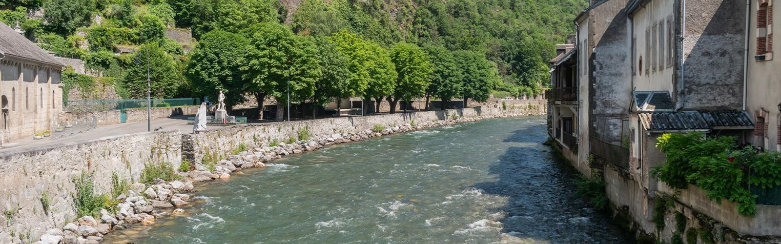
Ready to explore Lac de Gery? Here's everything you need to know before you go!
Discover the trail
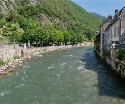
Trail description
Lac de Géry is a leisure lake in Saint-Béat-Lez, in the Haute-Garonne department, at the foot of the Pic du Gar. Tourisme Occitanie places it at about 500 m above sea level and describes it as a foothill lake rather than a mountain one, with a wooded setting and limestone cliffs. It is a place for a stroll, fishing and a picnic.
What you will find there
- Fishing, walking, picnicking and mini-golf.
- A food truck in summer.
- A terrace.
- Whitewater activities nearby.
To fish, you need a fishing licence valid in Haute-Garonne; the standard federal licence is enough. Swimming is prohibited.
Getting there
Access by car is easy. The lake is at the place called Géry in Saint-Béat-Lez (31440), 130 km from Toulouse, 25 km from Saint-Gaudens and 10 km from Spain. Tourisme Occitanie lists a car park, a car park nearby and a coach park.
Without a car, Tourisme Occitanie gives two walking accesses of under 30 minutes: from Marignac-Saint-Béat railway station (about 27 minutes, or 2,297 m) or from the Saint-Béat-Lez – Mairie bus stop (about 22 minutes, or 1,882 m).
A loop from Marignac
Decathlon Outdoor lists a "Boucle Marignac – Lac de Géry", a route published by a user: 5 km, 52 m of elevation gain, an estimated 1 h 35 min, rated easy, starting from the chemin du Marché in Marignac. Its author describes it as an easy loop with views of the Gar, the Saillant, the Burat and the Rié; the start is exposed, without shade, until the path runs alongside the Garonne.
Check before you go
No prices, opening dates or hours, or dog rules are published: check ahead if any of these matters for your outing.
Everything you need for your next hike. Bilingual, printable, 1 page.
Get your free hiking checklistReady to go?
Everything you need to know before you goStarting Point
The lake is at the place called Géry in Saint-Béat-Lez (31440). Access by car is easy, with a car park listed by Tourisme Occitanie; from Marignac-Saint-Béat railway station, allow under 30 minutes on foot (about 27 minutes, or 2,297 m).
When?
- Hiking shoes Essential
- Layered clothing Essential
- Rain jacket Essential
- Trekking poles
- Headlamp
FAQ - Frequently asked questions
Everything you need to knowOutings near Lac de Gery
Discover other trails you might enjoy
Lac de Montréjeau
Haute-Garonne · 19.4 km away
Refuge du Lac d'Oô
Haute-Garonne · 25.1 km away
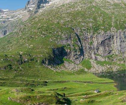
Le Refuge d'Espingo
Haute-Garonne · 25.9 km away
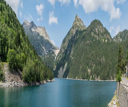
Lac d'Orédon
Hautes-Pyrénées · 43.4 km away
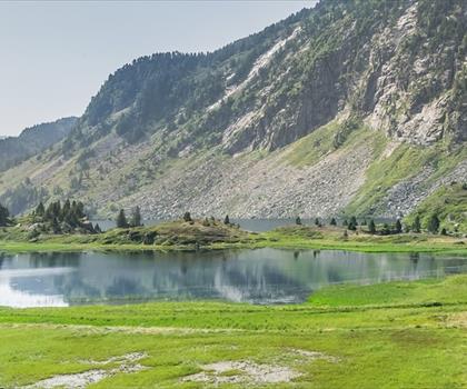
Parc naturel régional des Pyrénées Ariégeoises
Ariège · 50.0 km away

Aulus les Bains
Ariège · 56.2 km away
Hiking near Sydney
25 trails to explore ~4731 km away
We work hard to provide the most up-to-date and error-free data possible. If something seems incorrect, let us know! Your contribution helps the whole community.
Hikers' opinions
Be the first to review!
No hiker has shared their experience yet. Share your impressions and help other hikers!