
Ready to explore Circuit ENS entre Ouysse et Alzou? Here's everything you need to know before you go!
Discover the trail
Trail description
The trail at a glance
It is a loop: start and finish at the Gouffre de Cabouy car park, on the D32 after the hamlet of Magès. Lot Tourisme and the Vallée de la Dordogne tourist office give 7.4 km and 2 h 30 of walking; the office also gives altitudes from 122 m to 230 m and 234 m of elevation gain. The waymarks are yellow (PR); for a while the trail follows the GR 6, marked red and white.
The level is described differently depending on the source. In its discovery guide to the sensitive natural area (2003 edition), the Lot département calls it "une randonnée facile et charmante de 3 heures environ" (an easy, charming walk of about 3 hours) and gives 7.2 km, "Accès facile" (easy access), beginner walkers and children. Lot Tourisme and the Vallée de la Dordogne tourist office rate the trail "moyen" (medium).
The route
From the car park, with your back to the gouffre, the route follows the road you arrived on, then a path on the left: the GR 6. It leaves the GR 6 where that heads off to the Caoulet mill and follows the path that climbs to the right, crosses the ridge (view of the Pech Teulou), then drops towards the ruins of the old Pech Teulou farm and down to the Alzou, which is crossed at a ford. If the water is high, the office says to use the footbridge on the right.
After the ford you climb back to the D673, follow it to the right for 150 m, then take the small road on the left towards La Gardelle (the ruins of the Castel Giroux castle can be seen below). A path on the right goes down, then you climb 50 m to Fontaine Basse. The path on the left (view of the cliffs and scree of the combe des Fontaines) climbs steeply to the plateau. You then go back down towards the D673 and the Alzou, follow the river to a second ford, then climb to the Croix du Crouzol: the road on the right leads back to the Gouffre de Cabouy.
An interpretation trail
According to the Lot département, markers shaped like magnifying glasses, numbered 1 to 6, line the route. They carry little information: you slide the card with the same number from the discovery guide into the marker and it becomes an orientation table. The guide is available on paper at nearby tourist offices and as a download.
What you see on the way
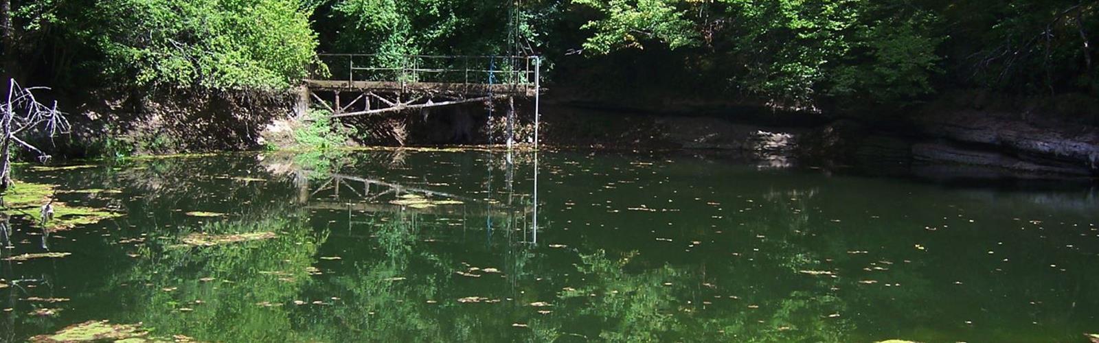
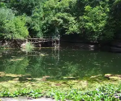
Lot Tourisme explains that the Gouffre de Cabouy is not a spring: it is the resurgence of the Ouysse, a river fed by streams much further east, on the impermeable ground of the Ségala and the Limargue. Underground on the Quercy causse, it travels more than 20 km before coming out at Cabouy, a "véritable caverne noyée" (a true drowned cave). According to the discovery guide, the modern building at the gouffre is a pumping station that supplies Rocamadour with drinking water.
The same guide says the combe des Fontaines has four small resurgences, three of which have been developed to collect their water, and scree slopes with rare plants such as the "silène glaréeux" (a subspecies of bladder campion) and the Jura figwort. The Alzou has a temporary flow; the Ouysse is one of the rivers of the Lot with the richest aquatic vegetation, including yellow water-lily and the protected floating water-plantain.
The Gouffre de Saint-Sauveur
Tourisme Occitanie says the Gouffre de Saint-Sauveur can only be reached on foot, by the path that goes around the Gouffre de Cabouy: 20 minutes' walk. The discovery guide puts its sixth marker at Saint-Sauveur, 2.8 km there and back from the Gouffre de Cabouy.
Sections to watch
- Alzou in flood: Lot Tourisme and the Vallée de la Dordogne tourist office say not to set out on the trail when the Alzou is in flood. The discovery guide adds that in winter or after heavy storms the Alzou can quickly turn into a torrent.
- Two fords: for the first, the office mentions a footbridge on the right if there is flooding; it flags the second as "pouvant être inondé" (possibly flooded).
- Cliffs: the département warns that the trail has a few delicate sections and asks you to avoid stopping near the cliffs.
- Gouffres: the guide asks you to avoid going near the gouffres, because the banks can be slippery and the water very cold even in summer. It says the Gouffre de Cabouy is on private property and is not secured, and that Saint-Sauveur is not secured and presents a real danger.
Code of conduct
The Lot département's discovery guide reminds walkers that the route is open to all, on each person's own responsibility, and asks you to:
- not park just anywhere: car parks have been set up;
- stay on the path and keep your dog on a leash;
- leave no trace (bins are available in Rocamadour and Gramat) and avoid any fire, since a badly extinguished cigarette end can start one.
It states that the trail is reserved for walking.
Getting there
The Vallée de la Dordogne tourist office places Rocamadour 12 km west of Gramat via the D840 then the D36, and 22 km from the A20 via the D32. Lot Tourisme offers a GPX track and its listing carries the Qualirando Lot label. Another trail, number 13 in the topo-guide of the Causses du Quercy regional nature park, crosses this one.
Everything you need for your next hike. Bilingual, printable, 1 page.
Get your free hiking checklistReady to go?
Everything you need to know before you goStarting Point
Gouffre de Cabouy car park, on the D32 after the hamlet of Magès, in Rocamadour (GPS coordinates published by the tourist office: 44.790409, 1.584018). According to the discovery guide, the trail's entrance marker is near the car park.
When?
- Hiking shoes Essential
- Layered clothing Essential
- Rain jacket Essential
- Trekking poles
- Headlamp
FAQ - Frequently asked questions
Everything you need to knowOutings near Circuit ENS entre Ouysse et Alzou
Discover other trails you might enjoy

Parc naturel régional des Causses du Quercy
Lot · 15.8 km away
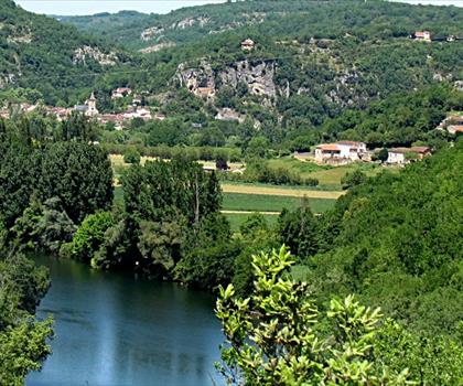
Parc naturel régional et Géoparc des Causses du Quercy
Aveyron · 15.8 km away
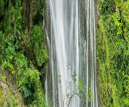
Cascade d'Autoire
Lot · 18.9 km away
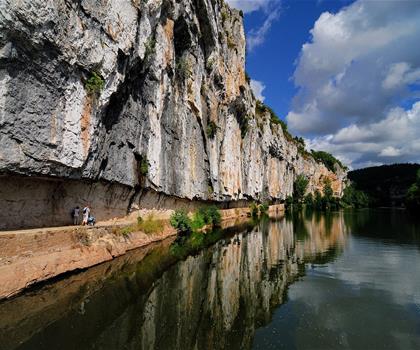
Chemin de halage de Bouziès à Saint-Cirq-Lapopie
Lot · 34.4 km away
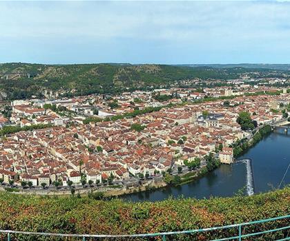
Circuit du Mont Saint-Cyr
Lot · 40.5 km away
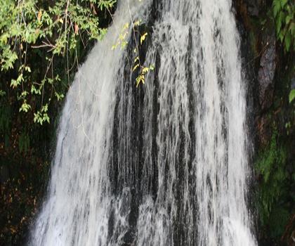
Cascades de Murel
Corrèze · 44.0 km away
Hiking near Sydney
25 trails to explore ~4708 km away
We work hard to provide the most up-to-date and error-free data possible. If something seems incorrect, let us know! Your contribution helps the whole community.
Hikers' opinions
Be the first to review!
No hiker has shared their experience yet. Share your impressions and help other hikers!