
Ready to explore Circuit du Mont Saint-Cyr? Here's everything you need to know before you go!
Discover the trail
Trail description
What you come for
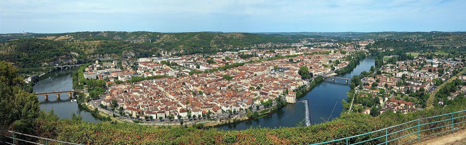
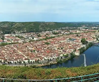
Mont Saint-Cyr overlooks Cahors. It is a sensitive natural area (ENS), where the Département du Lot has carried out work on the paths and the viewing platform. According to Lot Tourisme, from Mont Saint-Cyr the eye takes in the whole bend of the Lot around which the town is built. The Cahors Vallée du Lot tourist office adds that, in clear weather, you can see the Château de Mercuès.
A landscape interpretation table was installed there in July 2024: a landscape illustration and eight panels on the natural and historical heritage, to help visitors get their bearings and understand the panorama. The Département du Lot produced it under its sensitive natural areas policy, with the support of the City of Cahors, the CAUE and the tourist office.
The loop
Lot Tourisme describes a 5.8 km walking loop, about 2 hours, rated "moyen" (medium), starting from Cahors. It is waymarked in yellow, the colour of PR (promenade and hiking) paths. Several paths are signposted on the ground: Lot Tourisme strongly advises following the yellow waymarks.
The loop's PDF, linked from the Lot Tourisme page, gives the start at the Saint-Georges car park ("Parking Saint-Georges"), beside the Lot in Cahors, and an elevation gain of +202 m, with altitudes from 113 m to 276 m. It describes the route: from the car park, follow the banks of the Lot upstream, pass under the Pont Louis-Philippe and continue to the Moulin de Coty; turn left onto the paved road to the Pont de Cabessut, then right at the roundabout towards Rodez; after the railway bridge, cross the D 911 ("prudence", i.e. take care), take the Côte des Ânes, then steps and a narrow path that climbs towards the plateau; higher up, a path alongside the GR 36 leads to the Mont Saint-Cyr car park, then on to the viewpoint. The descent is to the left, following the GR 36 to the Place Saint-Georges; you then cross the road to get back to the car park.
The same page mentions views over Cahors from the banks of the Lot, the heights of the Camp des Monges and the Mont Saint-Cyr viewpoint. It warns: "Attention sentier glissant par temps de pluie" (the path is slippery in the rain). The loop carries the Qualirando Lot label, and a GPX track and a PDF are offered on its page.
The path to the viewing platform
According to the Département du Lot, the path that climbs from Saint-Georges to the viewpoint has been widened in places, its steps rebuilt and new guardrails fitted near a tricky section. About 1.5 km of paths have been rehabilitated and the viewing platform has been fully renovated (stairs, handrail, decking). Another pedestrian access, towards the Camp des Monges, has also been made safer.
On site
The viewpoint has free access, according to the tourist office. It has picnic tables and benches, barbecues, a play area, a basketball court and a mini football pitch. The office also mentions the "Lot of Sports" leisure base, with a snack bar and refreshment bar. The viewpoint's address, according to the office, is route du Mont Saint-Cyr, in Cahors; it is not the address of the loop's start, which is the Saint-Georges car park.
Getting there
The tourist office says you can reach the viewpoint by car, or on foot along the GR long-distance path from the Pont Louis-Philippe or the Pont de Cabessut. It lists a car park and a coach park. The liO bus stop "Cahors – De Gaulle" is about 1.7 km away, a 20-minute walk. For the viewpoint, the office mentions a slight slope between the car park and the viewpoint, then describes access to the viewpoint as fully wheelchair accessible. This applies to the viewpoint; the loop itself totals +202 m of elevation gain.
Dogs and sheep
The office says "animaux acceptés" (pets accepted) for the viewpoint, with no condition given; the tourist office asks that dogs be kept on a leash in all public places. The Département du Lot mentions sheep that maintain the landscape on Mont Saint-Cyr. No rule specific to the loop is published; the office can be reached at +33 5 65 53 20 65.
Everything you need for your next hike. Bilingual, printable, 1 page.
Get your free hiking checklistReady to go?
Everything you need to know before you goStarting Point
Start at the Saint-Georges car park (Parking Saint-Georges), beside the Lot in Cahors, at coordinates 44.440133, 1.440970 according to the loop's PDF. The Mont Saint-Cyr viewpoint, for its part, is on route du Mont Saint-Cyr, according to the Cahors Vallée du Lot tourist office.
When?
- Hiking shoes Essential
- Layered clothing Essential
- Rain jacket Essential
- Trekking poles
- Headlamp
FAQ - Frequently asked questions
Everything you need to knowOutings near Circuit du Mont Saint-Cyr
Discover other trails you might enjoy
Chemin de halage de Bouziès à Saint-Cirq-Lapopie
Lot · 16.9 km away

Parc naturel régional des Causses du Quercy
Lot · 25.2 km away
Parc naturel régional et Géoparc des Causses du Quercy
Aveyron · 25.2 km away
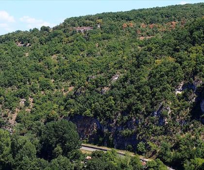
Belvedere du Cirque de Bone
Tarn-et-Garonne · 38.4 km away
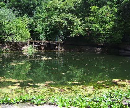
Circuit ENS entre Ouysse et Alzou
Lot · 40.5 km away
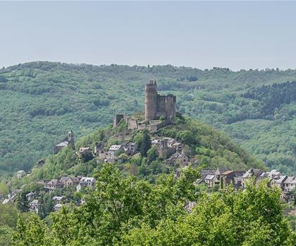
Circuit des Châtaigneraies de Najac
Aveyron · 49.7 km away
Hiking near Sydney
25 trails to explore ~4714 km away
We work hard to provide the most up-to-date and error-free data possible. If something seems incorrect, let us know! Your contribution helps the whole community.
Hikers' opinions
Be the first to review!
No hiker has shared their experience yet. Share your impressions and help other hikers!