
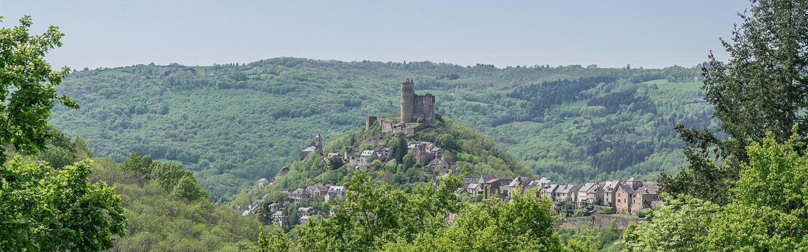
Ready to explore Circuit des Châtaigneraies de Najac? Here's everything you need to know before you go!
Discover the trail
Trail description
The loop at a glance
This is a loop from the Place du Sol del Barry car park: 11.8 km, 279 m of elevation gain (and as much loss), between 178 m and 391 m above sea level. Bastides and Gorges of Aveyron rates it moderate and gives 3 h 30. It is waymarked yellow (PR) by FFRP volunteers, and in Najac it is also known as "Les Châtaigneraies" (the chestnut groves). According to Bastides and Gorges of Aveyron, the chestnut tree was, along with rye, one of the staple foods of the time.
The first half runs on the heights above Najac and the return follows the Aveyron in the shade. According to Bastides and Gorges of Aveyron, that return is ideal when it is hot.
The route
From the car park, go down the D39 on your left for 200 m. At the hairpin bend, turn left towards Saint-André de Najac, then, after a few metres, take the first path on the right, which goes downhill. The path crosses the Vernhe stream, climbs back up a paved path, then a steep path, and passes below the holiday village (VVF). A short optional there-and-back leads to a viewpoint over Najac. At the junction, a path on the right leads to another circuit (Les Moulins): the route takes the small path on the left, which goes down, then turns right at the road towards Cassagnes. It then follows fields and goes down towards the Aveyron gorges. Tourisme Occitanie notes a path in poor condition on this descent.
At the bottom, the route goes under the Grèzes railway bridge and follows the Aveyron for 6 km on a shaded path. It runs beside the railway and passes first a ruined mill, Ferragut, then the Auribal mill, still in good condition. Tourisme Occitanie also mentions a canoe-kayak slalom course at the place called Bano de Biau.
The path then becomes a road that joins the D594: turn left and cross the Saint-Blaise bridge. Take the road on the right that runs beside the river, then, before the swimming pool, a small path to the Frégère bridge. Cross the river and climb the old medieval hill on the left. At the crossroads, turn right, then left onto Place Saint-Barthélemy, past the Sainte-Famille chapel, then along Rue du Bourguet and Rue du Barriou to Place du Faubourg. The starting car park is opposite, across the road.
What you pass
- Viewpoints over Najac, early on.
- The Aveyron and the railway: according to Bastides and Gorges of Aveyron, the Toulouse-Brive line dates from 1860 and the Laguépie-Najac section has 26 engineering structures in 10 km (13 bridges and 13 tunnels).
- The Saint-Blaise bridge: a 13th-century Gothic bridge on the road merchants and Saint James pilgrims used from Villefranche-de-Rouergue, according to Bastides and Gorges of Aveyron.
- The village and its fortress: Bastides and Gorges of Aveyron lists the Najac fortress, 200 m above the Aveyron gorges, among the points of interest of the circuit.
Before you go
- Closure: Bastides and Gorges of Aveyron notes an exceptional trail closure near the Frégère bridge and tells walkers to detour to the left to reach the bridge. No end date is announced: check with the Najac tourist office before you go.
- Parking: Place du Sol del Barry, at the top of the village, where the post office is.
- Getting there: Najac is 22 km south of Villefranche-de-Rouergue, via the 922 then the D39, according to Tourisme Occitanie. Najac station, on the Toulouse-Aurillac line, is under 20 minutes' walk from the start (about 17 minutes, 1,478 m).
- Other start: the circuit can also begin at the Les Hauts de Najac holiday village.
- Route file: Bastides and Gorges of Aveyron offers a GPX and a PDF; Tourisme Occitanie offers a GPX and a 1:25,000 map as a PDF.
- Dogs, fees, opening times: no dog rules, fees or season are published for this circuit.
Everything you need for your next hike. Bilingual, printable, 1 page.
Get your free hiking checklistReady to go?
Everything you need to know before you goStarting Point
Place du Sol del Barry car park, at the top of the village of Najac (12270), where the post office is. Leaving the car park, go down the D39 on your left for 200 m; at the hairpin bend, turn left towards Saint-André de Najac, then, after a few metres, take the first path on the right, which goes downhill.
When?
- Hiking shoes Essential
- Layered clothing Essential
- Rain jacket Essential
- Trekking poles
- Headlamp
FAQ - Frequently asked questions
Everything you need to knowOutings near Circuit des Châtaigneraies de Najac
Discover other trails you might enjoy
Belvedere du Cirque de Bone
Tarn-et-Garonne · 22.5 km away
Chemin de halage de Bouziès à Saint-Cirq-Lapopie
Lot · 39.9 km away
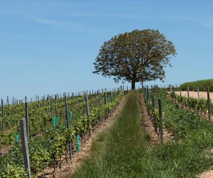
Lac des Auzerals
Tarn · 49.0 km away
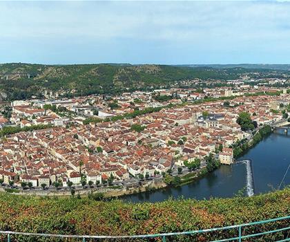
Circuit du Mont Saint-Cyr
Lot · 49.7 km away

Château de la Bancalié
Tarn · 52.2 km away
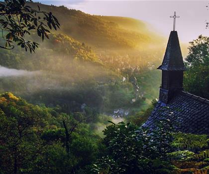
Chapelle Sainte-Foy de Conques
Aveyron · 53.1 km away
Hiking near Sydney
25 trails to explore ~4763 km away
We work hard to provide the most up-to-date and error-free data possible. If something seems incorrect, let us know! Your contribution helps the whole community.
Hikers' opinions
Be the first to review!
No hiker has shared their experience yet. Share your impressions and help other hikers!