

Ready to explore Château de la Bancalié? Here's everything you need to know before you go!
Discover the trail
Oh no! We don't have any photos 😢
This trail hasn't been captured yet. Be the first to share your adventure!Trail description
The Château de la Bancalié is located in Occitania, a few kilometers from Toulouse. Built in the 12th century, it is one of the oldest castles in the region. It was restored in the 19th century and is now open to the public.
The castle consists of a square keep, flanked by four round towers, and a rectangular main building. The walls are pierced with loopholes and mullioned windows. The roof is covered with glazed tiles.
The keep houses a vaulted room and a chapel. The main building includes a large hall with a fireplace, a living room, a library and six bedrooms.
The Château de la Bancalié is a fine example of the medieval architectural style in Occitania.
Everything you need for your next hike. Bilingual, printable, 1 page.
Get your free hiking checklistReady to go?
Everything you need to know before you goStarting Point
The trailhead of the Château de la Bancalié is located in Saint-Étienne-de-Gourgas, in the Occitanie region.
When?
- Hiking shoes Essential
- Layered clothing Essential
- Rain jacket Essential
- Trekking poles
- Headlamp
FAQ - Frequently asked questions
Everything you need to knowOutings near Château de la Bancalié
Discover other trails you might enjoy
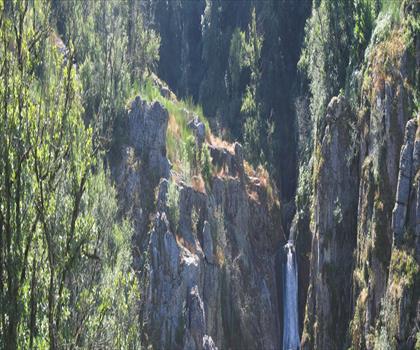
Les Cascades d'Arifat
Tarn · 4.7 km away
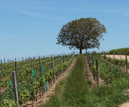
Lac des Auzerals
Tarn · 47.6 km away
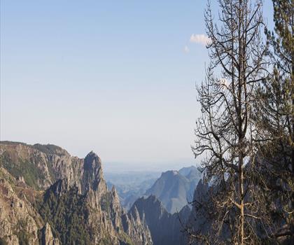
Parc naturel régional du Haut-Languedoc
Tarn · 51.8 km away
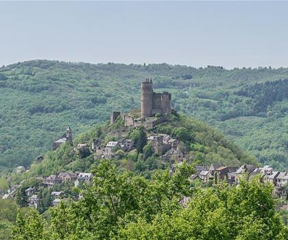
Circuit des Châtaigneraies de Najac
Aveyron · 52.2 km away
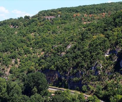
Belvedere du Cirque de Bone
Tarn-et-Garonne · 60.2 km away
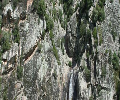
Les Gorges de Colombières
Hérault · 63.4 km away
Hiking near Sydney
25 trails to explore ~4805 km away
We work hard to provide the most up-to-date and error-free data possible. If something seems incorrect, let us know! Your contribution helps the whole community.
Hikers' opinions
Be the first to review!
No hiker has shared their experience yet. Share your impressions and help other hikers!