
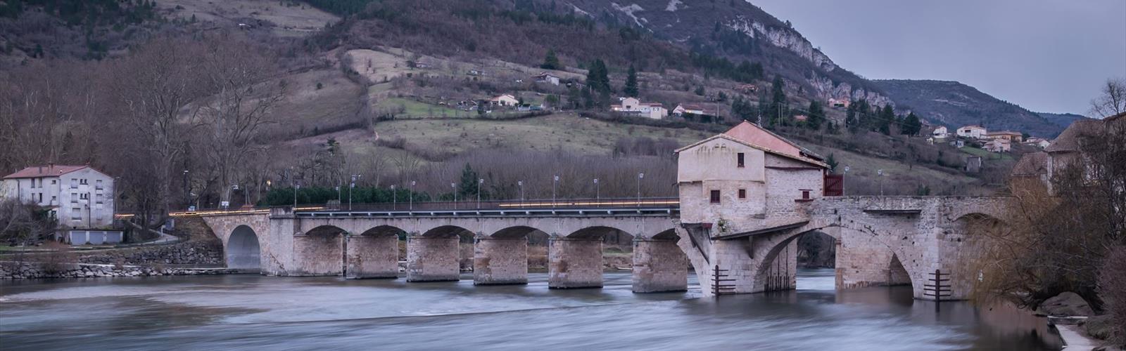

Ready to explore Parc naturel régional des Grands Causses? Here's everything you need to know before you go!
Discover the trail
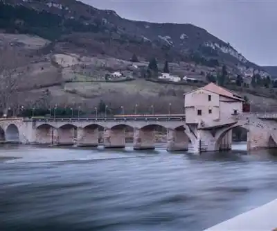
Trail description
The Grands Causses Regional Nature Park covers more than 2,000 square kilometers of Occitania in southern France, and it's one of those places that genuinely earns the word "dramatic." The park breaks down into three distinct landscapes — the Causses limestone plateaus, the ancient Cévennes mountains, and the Larzac plateau — and each one feels like a separate world. That variety is exactly what makes hiking here so compelling.
The Causses: Limestone Plateaus and Deep Gorges
The Causses are the defining feature of the park. These high limestone plateaus stretch under enormous open skies, their white rock surface carved over millennia into a landscape that can feel almost lunar in its starkness. What breaks that flatness are the gorges — sudden, dramatic canyons that plunge hundreds of meters below the plateau surface, carved by rivers that have been working at the rock since long before anyone was around to notice.
Hiking down into one of these gorges is a genuine shift in experience. The exposed, wind-scoured plateau gives way almost immediately to a protected microclimate where the air is cooler, the vegetation is lush, and the towering limestone walls create a sense of enclosure that's almost cathedral-like. The contrast between the two environments — sometimes separated by just a few hundred meters of trail — is one of the things that makes this park worth the trip.
Navigation on the open plateaus deserves some honest attention. Landmarks can be sparse, and the terrain has a way of looking the same in every direction when you're in the middle of it. Weather can shift quickly, and the limestone geology means surface water is scarce even after rain — precipitation disappears underground through the porous rock rather than collecting in streams or pools. Carry more water than you think you need.
The Cévennes: Forests and Terraced Hillsides
The Cévennes section of the park offers a completely different kind of hiking. These older schist mountains are rounder and more forested than the Causses, covered in chestnut, oak, and pine. The landscape feels more intimate — valleys are deeper and more enclosed, and the trails wind through hillsides that have been terraced and farmed for centuries. You're constantly moving through evidence of long human habitation here, which gives the hiking a different texture than the raw geology of the plateaus.
The terrain in the Cévennes is rarely flat. Elevation changes are constant, and while the navigation is generally more straightforward than on the open Causses, the physical demands are real. The reward is a landscape that shifts with the seasons in ways the limestone plateaus don't — the deciduous forests bring genuine color changes in autumn, and the terraced hillsides bloom in spring.
The Larzac: A Middle Ground
The Larzac plateau sits somewhere between the two other regions in character. It shares the limestone geology of the Causses but has more varied topography and more vegetation cover. Holm oak forests create shaded corridors across otherwise open terrain, which matters a great deal during summer hiking. These forests support a different range of wildlife than the exposed plateaus and create cooler conditions that make longer days on trail more manageable.
Wildlife and Flora
The park's range of habitats — from protected gorge floors to exposed high plateaus to dense mountain forests — supports a correspondingly wide range of wildlife. Raptors are a regular presence above the limestone plateaus and gorges, riding thermals that rise off the heated rock. The varied elevation and geology create distinct ecological zones, with Mediterranean species appearing in the lower, more sheltered gorges and hardier mountain-adapted wildlife on the higher ground.
The botanical variety follows the same pattern. Mediterranean plants thrive in the protected southern exposures and gorge floors, while the higher plateaus support species adapted to harsher, more exposed conditions. The holm oak forests on the Larzac have their own understory ecology, distinct from both the open plateau and the Cévennes forests. For anyone paying attention to plants, the park offers genuine interest across the full hiking season.
Water, despite the limestone terrain's tendency to swallow it, does surface in notable ways. Springs emerge where different rock layers meet, creating concentrated patches of green vegetation and wildlife activity. The rivers running through the gorges are both scenic and practically useful for longer expeditions.
Villages and Historical Layers
One of the things that distinguishes hiking in the Grands Causses from purely wilderness hiking is the density of human history embedded in the landscape. Perched villages crown hilltops and cliff edges throughout the park, their medieval stone architecture built from the same rock they sit on. These aren't reconstructed heritage sites — they're working villages with narrow stone streets and buildings that have been standing through centuries of mountain weather.
Many of these villages sit at natural trail junctions, which makes them both historically interesting and practically useful as waypoints on longer routes. The park also preserves a network of agricultural terraces carved into hillsides — many now abandoned, but still visible and walkable — that tell a clear story about how past generations worked this difficult terrain. Some areas still maintain traditional grazing practices that keep the open character of the plateaus intact.
Religious and cultural sites are scattered throughout the park, often occupying the most dramatic positions available — cliff edges, hilltops, narrow promontories. Ancient churches, chapels, and monasteries mark the park's position along historical pilgrimage and trade routes, and they frequently double as landmarks and shelter points during longer hikes.
Planning Your Visit
The park accommodates a wide range of hiking ambitions. Day hikers can focus on a single gorge or climb to a specific viewpoint without needing to commit to the full complexity of the plateau terrain. More ambitious hikers can plan multi-day routes that cross between geological zones, moving from the open Causses to the forested Cévennes to the Larzac and back, experiencing the full range of what the park offers.
- Water management: The limestone geology means surface water is unreliable across much of the plateau terrain — plan your water carries carefully and use springs and gorge rivers when available.
- Navigation: The open plateaus can be disorienting; a detailed map and compass or GPS are genuinely useful, not just precautionary.
- Weather exposure: The high plateaus offer little shelter, and conditions can change quickly — check forecasts and carry appropriate layers.
- Village stops: Many of the perched villages along major routes offer food, water, and basic supplies, making them worth factoring into your planning.
The Grands Causses Regional Nature Park rewards hikers who come prepared to engage with its complexity — the geological contrasts, the navigation challenges, the layered human history, and the wildlife that moves through all of it.
The Essential Hiking Checklist
Everything you need for your next hike. Bilingual, printable, 1 page.
Get your free hiking checklistRecommended gear for this trail
As an Amazon Associate I earn from qualifying purchases.


Ready to go?
Everything you need to know before you goStarting Point
The trailhead for the Grands Causses Regional Nature Park is located in Saint-Chély-d'Aubrac, in the Occitanie region.
When?
How much?
As an Amazon Associate I earn from qualifying purchases.
Affiliate links — LGPO may earn a commission at no extra cost to you.
- Hiking shoes Essential
- → Salomon Elixir Tour Mid WP · 203.38 $
- Layered clothing Essential
- Rain jacket Essential
- Trekking poles
- → Black Diamond Trail Ergo Cork · 69.99 $
- Headlamp
- → Petzl Actik Core 625 · 103.95 $
FAQ - Frequently asked questions
Everything you need to knowSimilar hikes nearby
Discover other trails you might enjoy
Hiking near Sydney
22 trails to explore ~4848 km away
We work hard to provide the most up-to-date and error-free data possible. If something seems incorrect, let us know! Your contribution helps the whole community.
Hikers' opinions
Be the first to review!
No hiker has shared their experience yet. Share your impressions and help other hikers!