
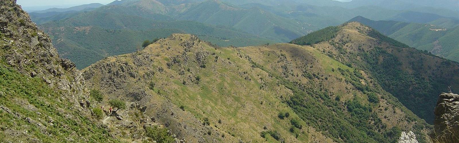
Ready to explore Sentier des 4000 marches? Here's everything you need to know before you go!
Discover the trail
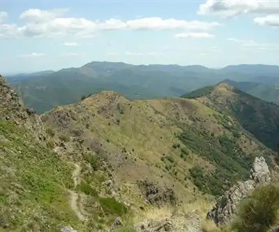
Available trails
| TrailTrails | Dist.Distance | GainElevation | Difficulty | GPX |
|---|---|---|---|---|
|
Advanced
|
23.1 km | 1324 m | Advanced |
Trail description
The route
The loop starts at the Valleraugue tourist office (in the commune of Val-d'Aigoual) and, according to the Cévennes National Park, follows the old postman's path. Signposts show place names. The waymarks are yellow, and part of the route uses the GR 6, 66 and 7. According to Gard Tourisme, the route crosses four vegetation zones.
The climb
The trail first passes the Belvédère des 4000, then climbs steeply via Roc Noir and Rocalte to the L'Estivel plateau, a grazing landscape where the Park reports sheep. At the start of the route, on the Mediterranean level, the Park describes former farming terraces (the holm oak was removed there), tree heath and strawberry trees. The climb continues to the Trépaloup menhir. From there, a detour of about 5 minutes leads to the observatory at the Aigoual summit (the highest point in the Gard; the Park gives the observatory as 1,567 m). Gard Tourisme advertises a 180° circular panorama there.
The descent
From the menhir, the route follows the Sentier des Botanistes toward Aire de Côte. Gard Tourisme first flags a cliff-edge section (“prudence!”: take care). At Cap de Brion, a path drops steeply for 200 m; at a cairn, the descent becomes “assez sportive” (fairly sporty) on schist, then you pass a gap in the rocks (“prudence!”). The route then follows a fence, then a ridge for 500 m. The Aire de Côte farm, bought by the State in 1862, long served as a forestry house before becoming a hostel; the Park also links it to a 1943 maquis hideout. The loop then follows about 1.5 km of paved road to Le Fageas and the Asclier drove road (about 1 km) toward Combe Première, Le Châtaignier and Foyas. You cross the Clarou and return to the start on the D 10.
Which numbers to trust
The official bodies do not publish the same measurements. This page uses the Cévennes National Park's.
- Cévennes National Park: 23.1 km, +1,324 m, 7 h
- Gard Tourisme (trail listing): 25 km, +1,388 m, 8 h
- Gard Tourisme (hike listing): 23.99 km, +1,322 m, 8 h
- Occitanie Tourism: 23.8 km, +1,426 m, 8 h
The Park's own introduction also mentions a different elevation gain (1,220 m). Plan for a full day, with margin before dark.
Flocks, dogs and Park rules
Gard Tourisme reports flocks and livestock guardian dogs in the mountains, and bans mountain biking. The National Park and Gard Tourisme point to the regulations of the park's core zone: there, the Park prohibits fires, bans roaming dogs, asks that dogs be kept on a leash and that you take your waste with you. No dog-specific rule is published for this trail. The Park publishes a page on how to behave around a guardian dog (see "Les règles pour tous" at cevennes-parcnational.fr). It also asks you to close gates and fences behind you.
Before you go
Gard Tourisme advises against the trail in snowy periods. The Park reminds hikers that weather changes quickly in the mountains and recommends adapting your gear to the day's conditions, bringing plenty of water, sturdy shoes and a hat. An audio guide is available through the Latitude Gard app, and the GPX track can be downloaded from the Gard Tourisme listing.
Walk up, ride the bus down
In summer, the Park says you can do just the climb from Valleraugue to the Aigoual summit (allow 3 to 4 hours of walking) and come back down by public transport from the "VAL-D'AIGOUAL - Mont Aigoual" stop. Timetables are on the liO journey planner.
Services and amenities
At Aire de Côte, on the route, the Park lists guest rooms, a gîte, a hostel and a restaurant: check opening times before counting on them.
Everything you need for your next hike. Bilingual, printable, 1 page.
Get your free hiking checklistReady to go?
Everything you need to know before you goStarting Point
Start and finish: Valleraugue tourist office (7 quartier des Horts, 30570 Valleraugue), according to the National Park and Occitanie Tourism. Gard Tourisme also gives the forecourt of Valleraugue church as the start.
When?
- Hiking shoes Essential
- Layered clothing Essential
- Rain jacket Essential
- Trekking poles
- Headlamp
FAQ - Frequently asked questions
Everything you need to knowOutings near Sentier des 4000 marches
Discover other trails you might enjoy
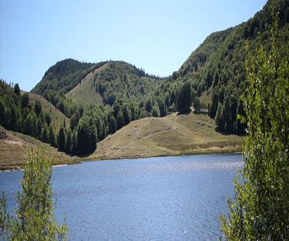
Cascades d'Orgon
Gard · 5.6 km away
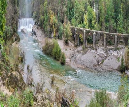
La Cascade de la vis
Gard · 17.4 km away
Cascade de Runes
Lozère · 33.3 km away
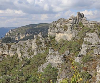
Cité de Pierres of Montpellier-le-Vieux
Aveyron · 35.5 km away
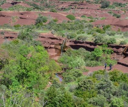
Canyon du diable
Hérault · 44.9 km away
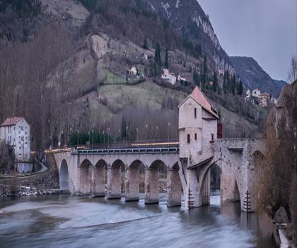
Parc naturel régional des Grands Causses
Aveyron · 45.1 km away
Hiking near Sydney
25 trails to explore ~4889 km away
We work hard to provide the most up-to-date and error-free data possible. If something seems incorrect, let us know! Your contribution helps the whole community.
Hikers' opinions
Be the first to review!
No hiker has shared their experience yet. Share your impressions and help other hikers!