
Ready to explore Cascades du Sautadet? Here's everything you need to know before you go!
Discover the trail
Trail description
What you come for
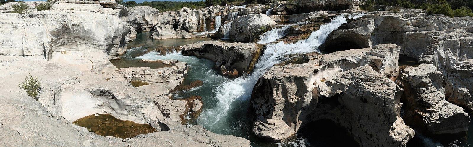
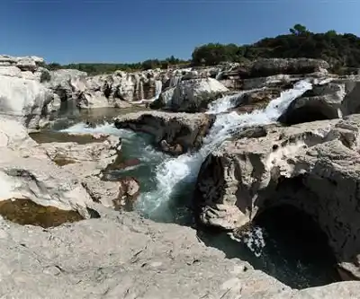
According to Gard Tourisme, the Sautadet Waterfalls spread out along the water between cavities, rapids and giant potholes carved over the millennia, on the course of the Cèze, in a landscape between garrigue and southern forest. The municipality explains that the river has cut channels and cavities that meet and cross to form galleries, where the water rushes in and comes out again as cascades.
The giant potholes are cylindrical holes cut into the rocky riverbed by the swirling movement of pebbles, the municipality says; those at the Sautadet lie downstream of the bridge over the Cèze. The falls have been a classified site in a natural zone since 1993. Gard Tourisme adds that the site is regularly used by film crews.
Safety: what the municipality says
The municipality of La Roque-sur-Cèze describes the falls as one of the most dangerous natural sites in the département and links this to the layout of the place:
- uneven rock that is slippery after rain;
- potholes in the river;
- the strength of the current: the flow can vary from 0.8 m³/s at low water to 4,200 m³/s in flood.
Since 1962, 30 deaths have been recorded there, and most accidents of the last ten years happened with a current of 10 to 40 m³/s, the municipality says. Gard Tourisme asks visitors to keep away from the swirling potholes: a fall into the canyons can be fatal.
Swimming: strictly prohibited
Gard Tourisme, in its section on the emblematic sites of the Gard, writes that the site is "strictly off-limits for swimming": it describes the Sautadet Waterfalls as "extremely dangerous" because the strength of the currents and the eddies created by the uneven terrain regularly cause accidents, some of them fatal. In its description of the site, Gard Tourisme also advises keeping animals on a leash so they do not go into the water.
Gard Tourisme also notes that, a little further downstream from the falls, a "safe" beach allows swimming. To find out exactly where swimming is possible, call the La Roque-sur-Cèze town hall on +33 4 66 82 77 46.
Before you go
- Access: free, every day of the year, according to Gard Tourisme.
- Parking: a single car park at the foot of the village, paid (€0.60 per quarter-hour), about 300 m from the falls, according to Gard Tourisme. Gard Tourisme also lists a motorhome area and a coach park.
- Paths: Gard Tourisme mentions waymarked paths on the site, without further detail.
- Wheelchairs: no, the geology of the site does not allow wheelchair access, according to Gard Tourisme.
- Litter: the site has remained unspoiled and accessible; Gard Tourisme asks visitors to take their litter home.
With a dog
Gard Tourisme lists "Pets allowed: Yes" and advises keeping animals on a leash, since swimming is prohibited.
The village and the bridge
La Roque-sur-Cèze is one of the Plus Beaux Villages de France. Near the falls stands the medieval bridge known as the "Charles Martel" bridge: 155 m long with 12 arches, according to the municipality, which says it is built directly on the rock.
Everything you need for your next hike. Bilingual, printable, 1 page.
Get your free hiking checklistReady to go?
Everything you need to know before you goStarting Point
A single car park at the foot of the village of La Roque-sur-Cèze (30200), paid, about 300 m from the falls, according to Gard Tourisme.
When?
- Hiking shoes Essential
- Layered clothing Essential
- Rain jacket Essential
- Trekking poles
- Headlamp
FAQ - Frequently asked questions
Everything you need to knowOutings near Cascades du Sautadet
Discover other trails you might enjoy
Cascade des petites aiguières
Gard · 21.5 km away
Pont du Gard
Gard · 27.2 km away
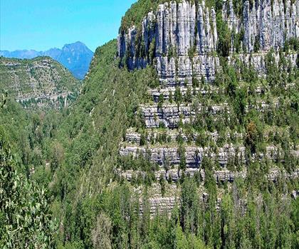
Le Cirque de Gens
Ardèche · 34.9 km away

Tétines de Vernon
Ardèche · 42.9 km away
Les Gorges du Toulourenc
Vaucluse · 54.3 km away

Le Sentier des Ocres
Vaucluse · 69.8 km away
Hiking near Sydney
25 trails to explore ~4947 km away
We work hard to provide the most up-to-date and error-free data possible. If something seems incorrect, let us know! Your contribution helps the whole community.
Hikers' opinions
Be the first to review!
No hiker has shared their experience yet. Share your impressions and help other hikers!