
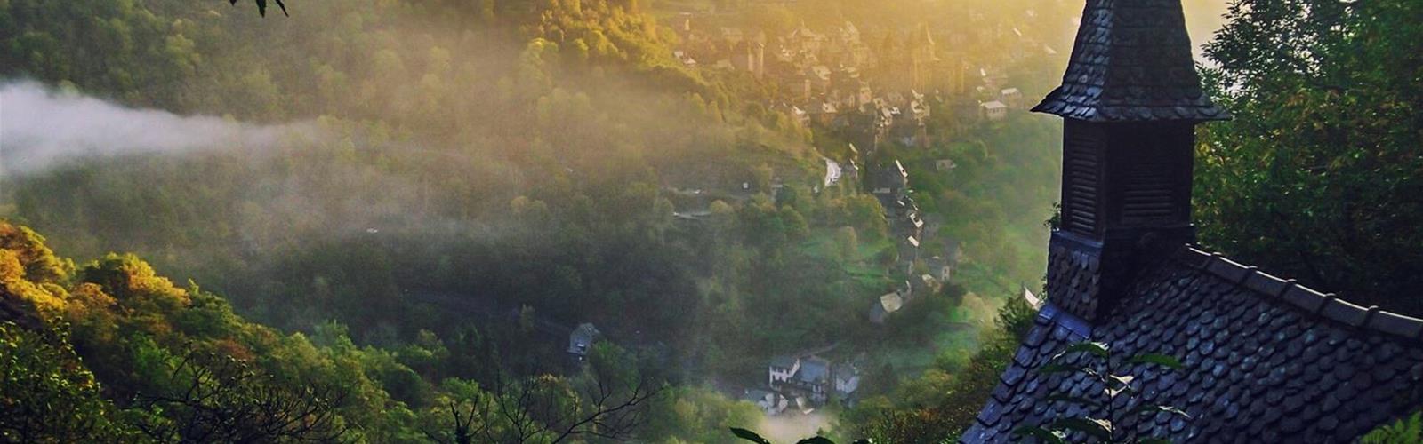
Ready to explore Chapelle Sainte-Foy de Conques? Here's everything you need to know before you go!
Discover the trail

Trail description
The route, step by step
The loop starts and ends in the Faubourg of Conques, according to the Conques-Marcillac tourist office. It follows these steps:
- Join the GR 65 (white and red waymarks) and cross the Dourdou on the pilgrims' bridge.
- Take the D 232. About 80 m after the second big bend, leave the road on a path to the right that leads onto the ridge through woods. The office mentions a view over the village of Conques.
- At the shed, go through the electric fence gate and close it behind you. The hamlet of "Les Angles" stays on your left. Follow the road, pass near the hamlet of "Aujols" and reach a junction of roads and tracks.
- Turn left onto the GR (white and red waymarks), then keep following the GR as it bears left. The descent runs through heather and broom to the Sainte-Foy chapel.
- At the chapel, keep descending towards the Dourdou on the GR 65 and come back to the bridge you crossed on the way out.
Distance, elevation and time
The tourist office gives 5.8 km, 345 m of elevation gain and 2 h 15 in its PDF sheet, with a minimum altitude of 221 m and a maximum of 546 m; the waymarking is listed as "PR". The GPX track it offers measures about 5.8 km. Tourisme Aveyron and Tourisme Occitanie give 7.5 km and 360 m of elevation for the same hike, with the same duration and difficulty, and the office's "Randonnées" page also says 7.5 km.
Before you go
- Start: Faubourg de Conques, beside the D 901 towards Grand-Vabre, according to Tourisme Occitanie. The office gives access by the D 901.
- Parking: the office recommends the Faubourg car park. No fee is published.
- Waymarking: the office says "PR" and describes the stretch on the GR 65 (white and red). Tourisme Occitanie says yellow waymarks.
- Electric fence gate: the office describes one at the shed and asks you to close it behind you.
- Dogs: no rule is published for this loop. Call the tourist office at +33 5 65 72 85 00.
- Without a car: Tourisme Occitanie points to bus line 223 Rodez-Conques and places Conques 38 km north-west of Rodez on the D 901.
Walking up to the village
The office says you can climb from the Faubourg by the rue Charlemagne to the village (300 m) to see the abbey church, the cloister, the treasury and the village: 1 km round trip.
A little background
Tourisme Aveyron notes that the history of Conques goes back at least to the 8th century, when the hermit Dadon withdrew there; he is the origin of a community of Benedictine monks. Two facts, it says, explain the abbey's influence: the arrival, around 866, of the relics of Saint Foy, a young martyr from Agen, and, from the 11th century, its role as a major stage on the Le Puy-en-Velay route to Santiago de Compostela.
The tourist office adds that the pilgrims' bridge over the Dourdou has been listed since 1998, like the abbey church of Sainte-Foy, as a UNESCO World Heritage site under the Routes of Santiago de Compostela in France. Tourisme Occitanie offers the Sainte-Foy chapel loop for an afternoon and mentions viewpoints over the natural amphitheatre where Conques nestles.
Everything you need for your next hike. Bilingual, printable, 1 page.
Get your free hiking checklistReady to go?
Everything you need to know before you goStarting Point
Faubourg de Conques, beside the D 901 (towards Grand-Vabre), 12320 Conques-en-Rouergue. The tourist office recommends the Faubourg car park. The route joins the GR 65 and crosses the Dourdou on the pilgrims' bridge.
When?
- Hiking shoes Essential
- Layered clothing Essential
- Rain jacket Essential
- Trekking poles
- Headlamp
FAQ - Frequently asked questions
Everything you need to knowOutings near Chapelle Sainte-Foy de Conques
Discover other trails you might enjoy
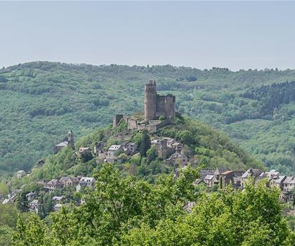
Circuit des Châtaigneraies de Najac
Aveyron · 53.1 km away
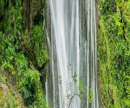
Cascade d'Autoire
Lot · 53.6 km away
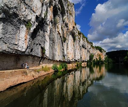
Chemin de halage de Bouziès à Saint-Cirq-Lapopie
Lot · 60.9 km away
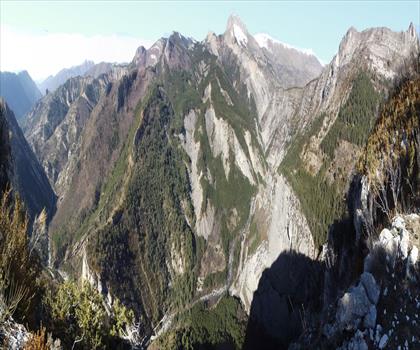
Gorges du Bès
Lozère · 62.3 km away

Parc naturel régional des Causses du Quercy
Lot · 65.7 km away
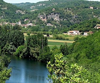
Parc naturel régional et Géoparc des Causses du Quercy
Aveyron · 65.7 km away
Hiking near Sydney
25 trails to explore ~4775 km away
We work hard to provide the most up-to-date and error-free data possible. If something seems incorrect, let us know! Your contribution helps the whole community.
Hikers' opinions
Be the first to review!
No hiker has shared their experience yet. Share your impressions and help other hikers!