


Ready to explore Sentier Des Marmottes? Here's everything you need to know before you go!
Discover the trail

Trail description
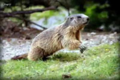
The Sentier Des Marmottes winds through the rugged landscape of the Hautes-Alpes, offering hikers an authentic alpine experience in one of France's most spectacular mountain regions. This trail takes its name from the playful marmots that inhabit the high meadows and rocky slopes throughout the area, their distinctive whistles often serving as a soundtrack to your mountain adventure.
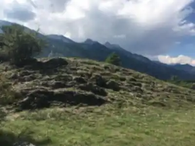
The path leads you through diverse alpine terrain, beginning in mixed forests of larch and pine before emerging into open meadows dotted with wildflowers during the warmer months. As you gain elevation, the landscape transforms into the classic high-alpine environment that makes the Hautes-Alpes famous among mountain enthusiasts. Rocky outcroppings provide natural viewpoints, while grassy slopes offer perfect spots for observing the local wildlife.
With 500 meters of elevation gain, this trail provides a solid workout without being overwhelming for hikers with reasonable fitness levels. The ascent is generally steady rather than steep, allowing you to maintain a comfortable pace while taking in the surrounding mountain scenery. The terrain varies from well-maintained dirt paths through forested sections to rockier ground as you climb higher into the alpine zone.
Wildlife and Natural Features
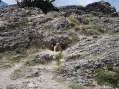
The marmots that give this trail its name are most active during the morning and late afternoon hours, making these ideal times for wildlife viewing. These large ground squirrels live in colonies throughout the alpine meadows, and their sentinel behavior—standing upright to watch for predators—makes them relatively easy to spot. Their sharp warning whistles echo across the mountainsides when they detect movement, creating an unmistakable sound that becomes part of the hiking experience.
Beyond the marmots, the Hautes-Alpes ecosystem supports a rich variety of alpine flora and fauna. Golden eagles and bearded vultures soar overhead, riding the thermals that rise from the sun-warmed valleys below. The meadows bloom with gentians, alpine asters, and other mountain wildflowers from late spring through early fall, creating colorful carpets across the landscape. The higher elevations offer glimpses of the stark beauty that characterizes this corner of the French Alps, with dramatic rock formations and distant peaks creating an impressive backdrop for your hike.
Trail Experience and Terrain
The Sentier Des Marmottes follows established mountain paths that are generally well-marked, though conditions can vary significantly with the seasons. The trail begins in a forested environment where tall larches and hardy pines provide shelter and shade. Here, the path feels cushioned underfoot with forest duff and packed earth, making for comfortable walking as you start your ascent.
As you climb through the forest zone, you'll notice the gradual transition in vegetation and terrain. The trees become more sparse, and glimpses of the alpine landscape above begin to appear through the canopy. Stream crossings may be present depending on snowmelt and recent precipitation, though these are typically manageable with standard hiking boots and add a refreshing element to the journey.
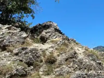
The middle section of the trail emerges from forest cover into more open terrain where the true character of the Hautes-Alpes reveals itself. Here, the path becomes rockier and more exposed to weather conditions. The steady elevation gain becomes more noticeable, but the increasingly spectacular views provide motivation and natural rest stops. Rocky outcroppings serve as excellent vantage points for photography and wildlife observation.
In the upper sections, the trail enters true alpine terrain where the landscape takes on the rugged character that defines high-mountain environments. The path here winds through areas of alpine grass, scattered boulders, and exposed rock faces. This is prime marmot habitat, and the open terrain makes wildlife spotting particularly rewarding.
Seasonal Conditions and Timing
The hiking season in the Hautes-Alpes typically runs from late spring through early fall, with the exact timing dependent on snow conditions and elevation. June through September generally offers the most reliable access, though early season hikers should be prepared for possible snow patches and muddy conditions from snowmelt, particularly in shaded areas and at higher elevations.
Summer months provide the warmest weather and longest daylight hours, making them ideal for wildlife viewing and photography. However, summer also brings the possibility of afternoon thunderstorms common in alpine environments. These storms can develop quickly, making early morning starts advisable for safety and optimal hiking conditions.
Fall hiking can be spectacular with changing foliage in the lower elevations, as the larches turn golden yellow before dropping their needles. However, weather becomes more unpredictable during autumn months, and daylight hours shorten significantly. Winter conditions make this trail unsuitable for standard hiking, as snow accumulation and potential avalanche risk in the alpine terrain require specialized winter mountaineering skills and equipment.
Equipment and Safety Considerations
Standard day hiking equipment is appropriate for the Sentier Des Marmottes, with particular attention to layered clothing suitable for changing mountain conditions. Weather in the Hautes-Alpes can change rapidly, and temperatures typically drop with elevation gain, making warm layers and rain protection essential even on seemingly clear days. The exposed nature of the upper trail sections means weather protection becomes increasingly important as you climb.
Sturdy hiking boots with good ankle support and traction are recommended given the varied terrain and potential for loose rock in higher sections. The transition from forest paths to rocky alpine terrain demands footwear that can handle both environments effectively. Trekking poles can be helpful for the elevation gain and provide additional stability on uneven ground, particularly useful during stream crossings or when navigating rocky sections.
Carry sufficient water and snacks, as mountain exertion combined with alpine air increases hydration needs. Sun protection becomes increasingly important at higher elevations where UV exposure intensifies and reflection off rock surfaces can be significant. A hat, sunglasses, and sunscreen are essential items for the exposed upper portions of the trail.
Access and Navigation
The Hautes-Alpes region is accessible via mountain roads that wind through alpine communities, with trailheads typically reached by regional routes that showcase the dramatic landscape of Provence-Alpes-Côte d'Azur. Parking availability varies by specific access point and season, with summer months seeing the highest demand from both hikers and other mountain recreation enthusiasts.
Trail marking in the French Alps generally follows established standards, though carrying a detailed topographic map and compass or GPS device is recommended for navigation backup. Weather conditions can reduce visibility quickly in mountain environments, making navigation skills particularly important for safety. The alpine environment requires respect for both natural hazards and conservation efforts, as the high-elevation ecosystem is particularly sensitive to human impact and slow to recover from disturbance.
Recommended gear for this trail


Ready to go?
Everything you need to know before you goWhen?
How much?
- Hiking shoes Essential
- → Salomon Elixir Tour Mid WP · 203.38 $
- Layered clothing Essential
- Rain jacket Essential
- Trekking poles
- → Black Diamond Trail Ergo Cork · 69.99 $
- Headlamp
- → Petzl Actik Core 625 · 103.95 $
FAQ - Frequently asked questions
Everything you need to know
25 hikes under 2 hours from Montreal
Distance, elevation, parking and season for each one. The ones we go back to ourselves.
Get the guideSimilar hikes nearby
Discover other trails you might enjoy

Gorges de la Méouge
Hautes-Alpes

Parc naturel régional du Queyras - GR58
Hautes-Alpes
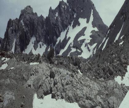
Lac des Neuf Couleurs
Hautes-Alpes
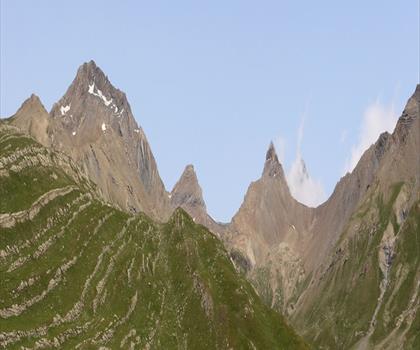
Lac du Pontet
Hautes-Alpes
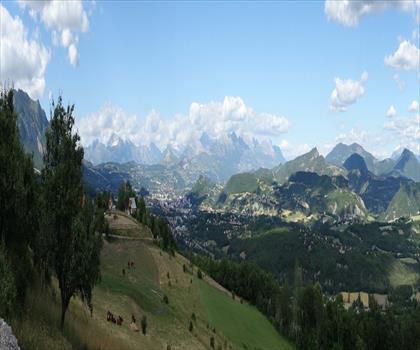
Lac de Pelleautier
Hautes-Alpes
Hiking near Sydney
22 trails to explore ~5073 km away
We work hard to provide the most up-to-date and error-free data possible. If something seems incorrect, let us know! Your contribution helps the whole community.
Hikers' opinions
Be the first to review!
No hiker has shared their experience yet. Share your impressions and help other hikers!