
Ready to explore Don Edwards San Francisco Bay National Wildlife Refuge? Here's everything you need to know before you go!
Discover the trail
Trail description
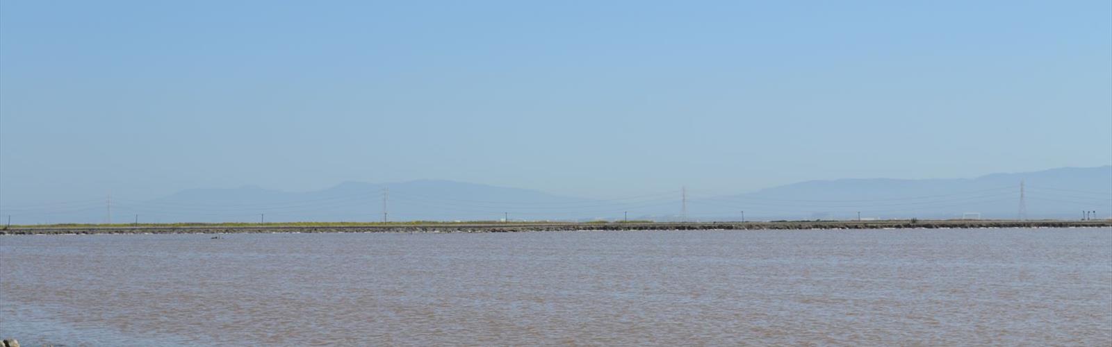
The Don Edwards San Francisco Bay National Wildlife Refuge is one of the most remarkable natural areas in the entire Bay Area — a vast expanse of tidal marshes, salt ponds, mudflats, and upland habitat that sits right at the edge of one of the most urbanized regions in California. It's the kind of place that surprises people. You drive through industrial corridors and suburban sprawl, and then suddenly you're standing at the edge of a sweeping wetland with shorebirds working the shallows and a view that stretches across the bay. It doesn't feel like it should exist here, and that's exactly what makes it special.
This refuge holds the distinction of being the first urban national wildlife refuge established in the United States — a designation that speaks to both its ecological importance and the community effort it took to protect it. The bay's wetlands were heavily altered over the course of the 20th century, with salt production and development claiming enormous portions of the original tidal habitat. What you're walking through today represents decades of restoration work, and in many areas, that work is still actively ongoing.
The Landscape
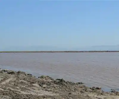
The refuge encompasses a mosaic of habitat types that shift as you move through the area. Tidal salt marshes dominate much of the shoreline, with pickleweed and cordgrass forming dense, low-lying mats that provide critical nesting and foraging habitat for a wide range of species. Further inland, you'll encounter seasonal wetlands, upland grasslands, and the remnants of former salt evaporation ponds that are gradually being converted back to tidal marsh.
The mudflats exposed at low tide are where a lot of the action happens. Thousands of shorebirds — dunlins, dowitchers, sandpipers, avocets, stilts — work these flats methodically, probing the mud for invertebrates. The visual scale of it can be genuinely stunning, especially during migration season when numbers peak. The bay itself forms the backdrop to almost every viewpoint, with the hills of the East Bay and the distant spans of bridges visible on clear days.
Wildlife
The Don Edwards refuge is fundamentally a wildlife-first destination. Birding is the primary draw for most visitors, and for good reason — the refuge sits along the Pacific Flyway, one of the major migratory routes on the continent, and the diversity of species that move through or reside here year-round is exceptional. Waterfowl, raptors, shorebirds, and songbirds all use the refuge in significant numbers.
Among the species you're likely to encounter are American avocets, black-necked stilts, great blue herons, snowy egrets, northern harriers, and white-tailed kites. The endangered California clapper rail — now known as the Ridgway's rail — inhabits the salt marsh, though spotting one requires patience and a good ear for its distinctive call. Harbor seals occasionally haul out along the shoreline, and the bay waters support a range of fish species that attract diving birds like grebes and cormorants.
Trails and Access
The refuge has a network of trails and levee paths that allow visitors to move through different habitat zones. The levee trails are generally flat and well-maintained, making them accessible to a wide range of visitors. These elevated paths offer excellent sightlines over the marshes and ponds, which is ideal for wildlife observation. Bring binoculars — they make a significant difference here.
The Environmental Education Center serves as the main hub for visitor information and is a good starting point for first-time visitors. Staff and volunteers there can point you toward the best areas depending on the season and what you're hoping to see. Interpretive signage throughout the refuge provides context on the restoration work and the ecology of the bay.
Multiple access points exist around the refuge, with the primary entrances located in the Fremont and Newark areas. Parking is available at the main visitor areas. It's worth checking the refuge's current conditions before you go, as some areas may be closed seasonally to protect nesting wildlife.
What to Expect on the Trail
Walking the levees here is a different experience from most hiking in California. There's no elevation gain to speak of, no dramatic summit, and no forest canopy. What you get instead is an immersive, wide-open experience where the sky feels enormous and the landscape is constantly moving — birds in flight, water shifting with the tide, grasses bending in the bay breeze. It rewards a slower pace. People who rush through it tend to miss most of what's happening.
The terrain underfoot is firm on the levee paths, but areas adjacent to the marsh can be muddy, especially after rain or at high tide. Wear shoes you don't mind getting dirty. Wind is a consistent factor along the bay shore, so an extra layer is usually a good idea even on warm days. Sun exposure is significant — there's very little shade on the levee trails, so sunscreen and a hat matter more here than on most wooded hikes.
Practical Information
- Location: Don Edwards San Francisco Bay National Wildlife Refuge, California
- Managed by: U.S. Fish and Wildlife Service
- Best for: Birdwatching, wildlife photography, nature walks, environmental education
- Terrain: Flat levee paths, tidal marsh edges, upland grassland areas
- Shade: Minimal — plan accordingly
- Dogs: Check current refuge regulations before bringing pets, as restrictions apply in wildlife-sensitive areas
- Bikes: Permitted on designated levee trails; check current maps for specifics
- Admission: Free to enter
- Visitor Center: The Environmental Education Center offers exhibits, restrooms, and staff assistance
Who It's For
This refuge works well for birders of all experience levels, families looking for an easy outdoor outing with genuine wildlife encounters, and photographers chasing shorebird or waterfowl shots. It's also a meaningful destination for anyone interested in wetland conservation and bay restoration — the story of what's been accomplished here, and what's still in progress, is worth understanding. The Don Edwards refuge is proof that urban wild spaces can be ecologically significant, not just scenic, and walking through it makes that case better than any brochure could.
In winter
According to the U.S. Fish and Wildlife Service trails page for the refuge, winter brings waterfowl along several trails: ducks on the LaRiviere Marsh Trail, waterfowl on the Marsh View and South Shoreline trails, and northern shovelers, shorebirds and grebes on the pond beside the New Chicago Marsh Trail. According to the same page, waterfowl hunting in designated areas within the managed ponds is permitted from mid-October to late January, and hunters use the South Shoreline Trail to reach hunting blinds in the salt ponds. The refuge's hunting page gives the 2026-2027 season dates (Balance of State Zone) as October 24 to January 31 for ducks and November 7 to January 31 for scaup. It states that the levee trail beside Alviso Ponds AB1, A2E, AB2, A3N and A3W is open to the public year-round and that shooting toward that trail is not allowed. The refuge's Visit Us page lists Thanksgiving, Christmas and New Year's Day as closed in the hours table for the Fremont site.
Everything you need for your next hike. Bilingual, printable, 1 page.
Get your free hiking checklistRecommended gear for this trail
As an Amazon Associate I earn from qualifying purchases.


Ready to go?
Everything you need to know before you goWhen?
As an Amazon Associate I earn from qualifying purchases.
Affiliate links — LGPO may earn a commission at no extra cost to you.
- Hiking shoes Essential
- → Salomon Elixir Tour Mid WP · 203.38 $
- Layered clothing Essential
- Rain jacket Essential
- Trekking poles
- → Black Diamond Trail Ergo Cork · 69.99 $
- Headlamp
- → Petzl Actik Core 625 · 103.95 $
FAQ - Frequently asked questions
Everything you need to knowOutings near Don Edwards San Francisco Bay National Wildlife Refuge
Discover other trails you might enjoy

San Francisco Bay National Wildlife Refuge
5.6 km away

Avalon Mountain View
White Mountains · 9.8 km away
Foothills park
Bay Area · 16.8 km away
Rose Peak, California
Bay Area · 29.5 km away
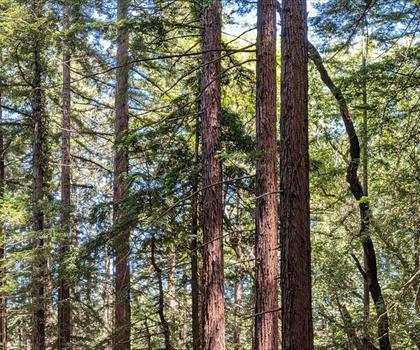
Redwood Regional Park
Bay Area · 37.2 km away
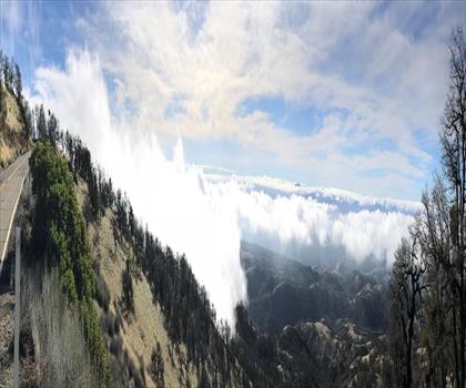
Mount Hamilton, California
Bay Area · 39.9 km away
Hiking near Victoria
105 trails to explore ~1221 km away
We work hard to provide the most up-to-date and error-free data possible. If something seems incorrect, let us know! Your contribution helps the whole community.
Hikers' opinions
Be the first to review!
No hiker has shared their experience yet. Share your impressions and help other hikers!