

Ready to explore Lafayette Ridge? Here's everything you need to know before you go!
Discover the trail
Trail description
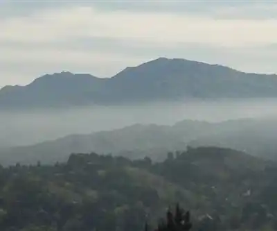
Lafayette Ridge is one of those trails that reminds you why the East Bay hills are such a treasure. Sitting within the Briones to Las Trampas Regional Trail corridor in the Gold Country foothills of California, this ridge route delivers sweeping views, open grasslands, and a real sense of getting away from it all — without driving hours from the Bay Area.
The Trail Experience
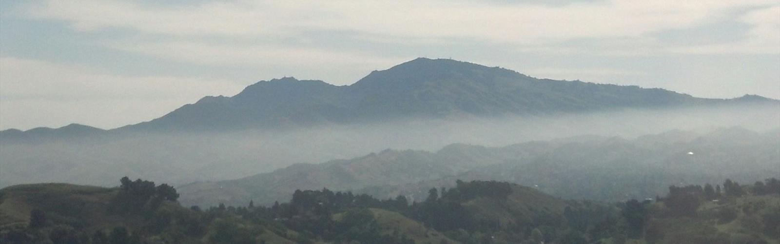
Lafayette Ridge runs along — you guessed it — a ridge, which means you're rewarded with panoramic views for much of the hike. On clear days, you can see across the East Bay all the way to Mount Diablo. The trail winds through a mix of open grassland and oak woodland, giving it that classic California hill country feel: golden in summer and fall, green and lush after the winter rains.
The terrain is mostly exposed, so you'll feel the wind up top and get the full benefit of those views. The path itself is well-defined and follows the natural contour of the ridge, making navigation straightforward. It's the kind of trail where you can actually look up and enjoy your surroundings rather than staring at your feet the whole time.
What Makes Lafayette Ridge Stand Out
What sets this trail apart from other East Bay options is the combination of accessibility and genuine open space. You're close to suburban Lafayette, yet once you're up on the ridge, the urban noise fades and you're surrounded by rolling hills and sky. The views toward Mount Diablo and across the Lamorinda area are consistently impressive, and the open grassland sections give the trail a wide, airy feel that you don't always get in the more forested East Bay parks.
The trail also connects into a broader network of regional trails, so hikers who want to extend their day have options. Lafayette Ridge sits within a corridor that links Briones Regional Park to Las Trampas Regional Wilderness, making it a natural fit for anyone exploring the East Bay Regional Park District's trail system.
Flora and Wildlife
The landscape along Lafayette Ridge is typical of the East Bay's inland hills. Open grasslands dominate the ridge itself, with native bunch grasses and seasonal wildflowers adding color in spring. Valley oaks and coast live oaks appear in the draws and sheltered slopes, providing shade and habitat for local wildlife.
Keep an eye out for raptors — red-tailed hawks and turkey vultures are commonly spotted riding thermals above the ridge. Deer are frequently seen in the early morning and evening hours, and the grasslands support a healthy population of ground squirrels that seem entirely unbothered by passing hikers.
Getting There and Parking
Lafayette Ridge is accessible from the Lafayette area, with trailhead access connecting to the broader East Bay Regional Park District trail network. As with most East Bay regional trails, it's worth checking current access points and any posted parking information before heading out, since trailhead logistics can vary depending on which entry point you use.
Practical Info
- Trail type: Ridge trail with connections to the regional trail network
- Terrain: Open grassland and oak woodland, exposed ridge with panoramic views
- Best seasons: Spring for green hills and wildflowers; fall and winter for clear views and cooler temperatures; summer is doable but can be hot and exposed
- Dogs: Check current East Bay Regional Park District regulations for this trail segment, as policies can vary by section
- Bikes: Portions of the regional trail corridor are multi-use; verify current rules for the specific Lafayette Ridge segment
- Water: No water sources on the trail — bring enough for your full outing
- Sun exposure: High — the ridge is largely open, so sunscreen and a hat are a good idea, especially in warmer months
Tips for Your Visit
Start early if you're heading out in summer — the exposed ridge heats up quickly once the morning fog burns off. Spring is genuinely the best time to be up here: the hills are green, the wildflowers are out, and the views are sharp before the summer haze settles in. Bring more water than you think you need, since there's no shade or water on the ridge itself.
If you're connecting Lafayette Ridge into a longer loop or point-to-point route using the regional trail network, it's worth downloading an offline map or grabbing a trail map from the East Bay Regional Park District ahead of time. The connections to Briones and Las Trampas are genuinely worthwhile if you have the legs for a bigger day out.
Lafayette Ridge is a solid choice for hikers who want real views and open terrain without committing to a full wilderness adventure — it delivers a satisfying experience that punches above its weight given how close it sits to the surrounding communities.
The Essential Hiking Checklist
Everything you need for your next hike. Bilingual, printable, 1 page.
Get your free hiking checklistRecommended gear for this trail
As an Amazon Associate I earn from qualifying purchases.


Ready to go?
Everything you need to know before you goWhen?
How much?
As an Amazon Associate I earn from qualifying purchases.
Affiliate links — LGPO may earn a commission at no extra cost to you.
- Hiking shoes Essential
- → Salomon Elixir Tour Mid WP · 203.38 $
- Layered clothing Essential
- Rain jacket Essential
- Trekking poles
- → Black Diamond Trail Ergo Cork · 69.99 $
- Headlamp
- → Petzl Actik Core 625 · 103.95 $
FAQ - Frequently asked questions
Everything you need to knowSimilar hikes nearby
Discover other trails you might enjoy

Hawk Hill, California
Bay Area
Don Edwards San Francisco Bay National Wildlife Refuge
Bay Area
Mount Hamilton, California
Bay Area
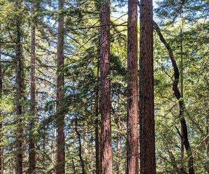
Redwood Regional Park
Bay Area
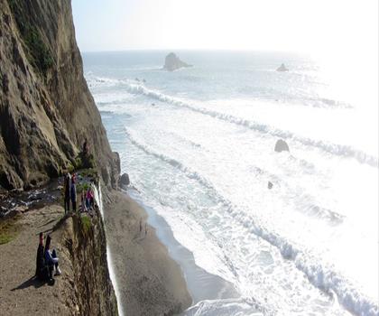
Pelican Hill, California
Bay Area
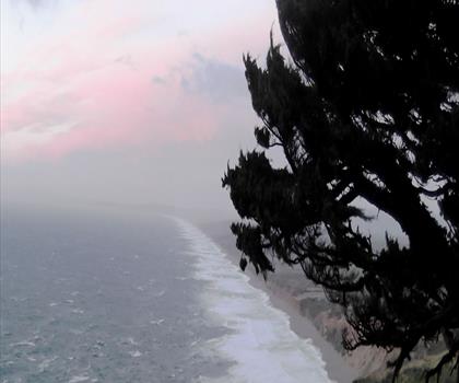
Point Reyes, California
Bay Area
Hiking near Victoria
93 trails to explore ~1173 km away
We work hard to provide the most up-to-date and error-free data possible. If something seems incorrect, let us know! Your contribution helps the whole community.
Hikers' opinions
Be the first to review!
No hiker has shared their experience yet. Share your impressions and help other hikers!