

Ready to explore Glen Canyon park? Here's everything you need to know before you go!
Discover the trail
Oh no! We don't have any photos 😢
This trail hasn't been captured yet. Be the first to share your adventure!Trail description
Glen Canyon Park is a city park in San Francisco, California. It occupies about 70 acres (28 ha) along a deep canyon adjacent to the Glen Park, Diamond Heights, and Miraloma Park neighborhoods. O’Shaughnessy Hollow is a rugged, undeveloped 3.6 acres (1.5 ha) tract of parkland that lies immediately to the west and may be considered an extension of Glen Canyon Park.
The park and hollow offer an experience of San Francisco's diverse terrains as they appeared before the intense development of the region in the late 19th and the 20th centuries. The park incorporates free-flowing Islais Creek and the associated riparian habitat, an extensive grassland with adjoining trees that supports breeding pairs of red-tailed hawks and great horned owls, striking rock outcrops, and arid patches covered by "coastal scrub" plant communities. In all, about 63 acres (25 ha) of the park and hollow are designated as undeveloped Natural Area. Elevations in Glen Canyon Park range from approximately 225 feet (69 m) above sea level at the south end of the park to 575 feet (175 m) above sea level at the north end and along the eastern rim of the canyon; the walls of the canyon are extremely steep, with many slopes approaching a length-to-height ratio of 1:1 (100 percent).
Formal recreational facilities in Glen Canyon Park are mostly located at its southern end (see the aerial photograph). These facilities include a community recreation center, ball fields and tennis courts, playgrounds, and a ropes course. The park is also well used by local rock climbers, who consider it one of the best "bouldering" sites near San Francisco. An additional building about halfway up the canyon near Islais Creek serves the Silver Tree Day Camp and the Glenridge Cooperative Nursery School.
The park is easily entered at its southeastern corner (end of Bosworth Street). Somewhat further north, there is a wooden stairway leading down into the park (the Sussex Street entrance). There are also trails leading into the park from the Diamond Heights Shopping Center. Of one of these, Joseph Stubbs has written, "It is a dramatic, sudden revelation of the park interior from high up, which is simply stunning. It occurs midsection of the park behind Diamond Heights Shopping Center and George Christopher Playground."
In winter
San Francisco Recreation and Parks describes the grassland along the north-south road through the canyon as parched and golden brown in summer and early fall, with native grasses dropping their seeds as they await the winter rains. By February, it says, the hills transform to a verdant green, and by spring native wildflowers including California poppy, blue-eyed grass, checkerbloom and mule's ears add color to the canyon.
Everything you need for your next hike. Bilingual, printable, 1 page.
Get your free hiking checklistRecommended gear for this trail
As an Amazon Associate I earn from qualifying purchases.


Ready to go?
Everything you need to know before you goWhen?
As an Amazon Associate I earn from qualifying purchases.
Affiliate links — LGPO may earn a commission at no extra cost to you.
- Hiking shoes Essential
- → Salomon Elixir Tour Mid WP · 203.38 $
- Layered clothing Essential
- Rain jacket Essential
- Trekking poles
- → Black Diamond Trail Ergo Cork · 69.99 $
- Headlamp
- → Petzl Actik Core 625 · 103.95 $
FAQ - Frequently asked questions
Everything you need to knowOutings near Glen Canyon park
Discover other trails you might enjoy
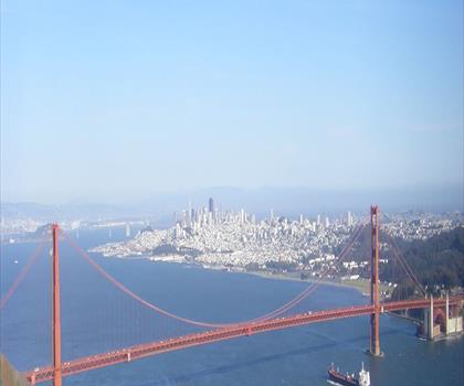
Hawk Hill, California
Bay Area · 11.4 km away
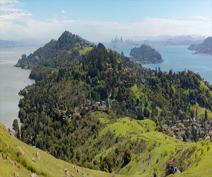
Ring Mountain, California
Bay Area · 19.6 km away
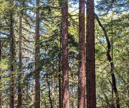
Redwood Regional Park
Bay Area · 24.6 km away
Lafayette Ridge
Bay Area · 33.9 km away
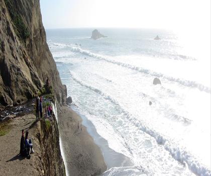
Pelican Hill, California
Bay Area · 38.0 km away

San Francisco Bay National Wildlife Refuge
38.9 km away
Hiking near Victoria
105 trails to explore ~1190 km away
We work hard to provide the most up-to-date and error-free data possible. If something seems incorrect, let us know! Your contribution helps the whole community.
Hikers' opinions
Be the first to review!
No hiker has shared their experience yet. Share your impressions and help other hikers!