
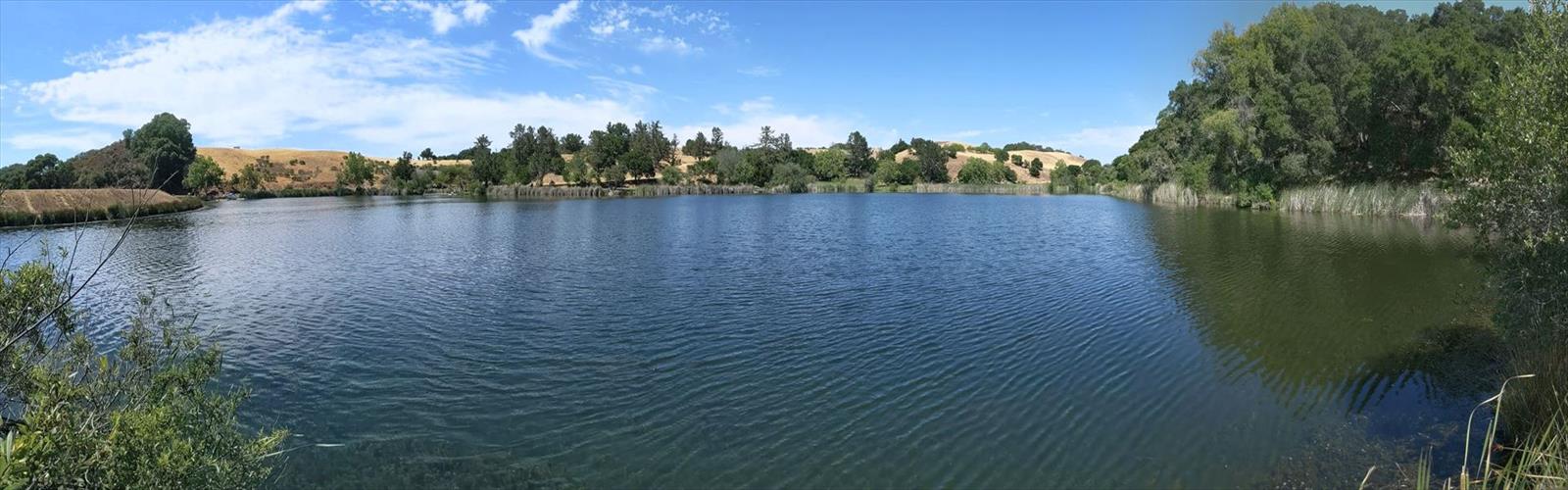

Ready to explore Foothills park? Here's everything you need to know before you go!
Discover the trail
Trail description
Foothills Park is one of the Bay Area's best-kept secrets — a sprawling open space preserve tucked into the hills above Palo Alto that feels worlds away from the surrounding suburbs. The park offers a genuine sense of wildness that's increasingly rare this close to a major metropolitan area, with rolling oak woodlands, open grasslands, and a network of trails that reward both casual walkers and more committed hikers.
The Terrain
The landscape at Foothills Park is defined by the transition between the Santa Cruz Mountains foothills and the valley floor. You'll move through a mix of coast live oak woodland, chaparral, and open meadows depending on which trails you follow. The terrain is genuinely varied — some sections are relatively flat and easy to navigate, while others climb into the hills with enough elevation change to get your heart rate up and open up views across the peninsula.
The park sits within the Palo Alto Foothills, and the natural environment here reflects that position: dry, sun-exposed ridgelines contrast with shaded creek drainages where the vegetation is noticeably denser and cooler. Wildflowers appear across the grasslands in spring, and the oak canopy provides welcome shade during warmer months.
Trail Network
Foothills Park has an extensive trail system that allows for loops of varying lengths and difficulty levels. Trails wind through the different habitat zones, giving hikers the chance to experience the full range of what the park has to offer in a single outing. Some routes follow creek corridors while others climb to open ridgelines with broader views. The trail network is well-suited to hikers who like to explore and piece together their own routes rather than following a single prescribed path.
Signage throughout the park helps with navigation, and the variety of intersecting trails means you can adjust your route on the fly depending on how much time or energy you have. Whether you're looking for a shorter loop or a longer half-day outing, the trail system accommodates both.
Wildlife and Nature
Foothills Park is known for its wildlife. The oak woodland and chaparral habitats support a wide range of species, and it's not unusual to spot deer moving through the meadows, raptors circling overhead, or smaller birds working through the understory. The park's relative seclusion — combined with its size — means animals have enough undisturbed habitat to behave naturally, which makes wildlife encounters feel more authentic here than in more heavily trafficked parks.
The creek areas in particular are worth paying attention to. Riparian corridors tend to concentrate wildlife activity, and the vegetation along these drainages is noticeably different from the drier upland areas — denser, greener, and more sheltered.
Access and Residency Policy
One important thing to know before you go: Foothills Park has historically been restricted to Palo Alto residents and their guests. This policy has been a defining feature of the park for decades and is part of why it remains less crowded than comparable open spaces in the region. Access policies can change over time, so it's worth checking with the City of Palo Alto before your visit to confirm current entry requirements.
The park is managed by the City of Palo Alto, and the main entrance is located off Page Mill Road. Parking is available at the trailhead, and the entry process typically involves showing proof of Palo Alto residency or arriving as a guest of a resident.
Dogs and Bikes
If you're planning to bring a dog or a mountain bike, check the current regulations directly with the City of Palo Alto before heading out. Policies on dogs and bikes in Palo Alto's open space preserves can vary by area and are subject to change, and it's better to confirm ahead of time than to show up and find out your plans don't work.
What Makes It Worth the Visit
What sets Foothills Park apart from other Bay Area open spaces is the combination of genuine wildness and accessibility. The park doesn't feel manicured or over-managed — the trails move through real habitat, the wildlife is present and active, and the landscape has a natural quality that takes some effort to find this close to Silicon Valley. For anyone who lives in Palo Alto or has access through a resident, it's one of the most rewarding places to hike in the immediate area.
The park is also large enough that you won't feel crowded even on weekends, which is a meaningful advantage in a region where popular trailheads can fill up fast. The combination of varied terrain, strong wildlife presence, and relatively low foot traffic makes Foothills Park a genuinely special place to spend a few hours outdoors.
Getting There
Foothills Park is located off Page Mill Road in Palo Alto, California. The entrance is clearly marked, and parking is available on site. Given the residency-based access policy, it's a good idea to plan ahead and confirm your eligibility before making the drive.
The Essential Hiking Checklist
Everything you need for your next hike. Bilingual, printable, 1 page.
Get your free hiking checklistRecommended gear for this trail
As an Amazon Associate I earn from qualifying purchases.


Ready to go?
Everything you need to know before you goWhen?
How much?
As an Amazon Associate I earn from qualifying purchases.
Affiliate links — LGPO may earn a commission at no extra cost to you.
- Hiking shoes Essential
- → Salomon Elixir Tour Mid WP · 203.38 $
- Layered clothing Essential
- Rain jacket Essential
- Trekking poles
- → Black Diamond Trail Ergo Cork · 69.99 $
- Headlamp
- → Petzl Actik Core 625 · 103.95 $
FAQ - Frequently asked questions
Everything you need to knowSimilar hikes nearby
Discover other trails you might enjoy
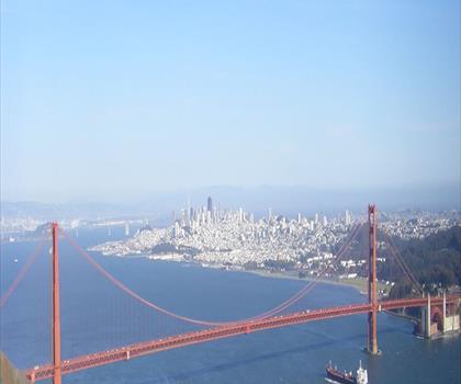
Hawk Hill, California
Bay Area
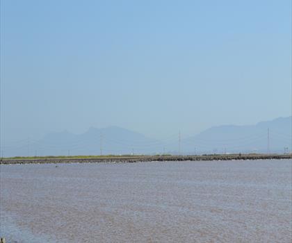
Don Edwards San Francisco Bay National Wildlife Refuge
Bay Area
Mount Hamilton, California
Bay Area
Redwood Regional Park
Bay Area
Pelican Hill, California
Bay Area
Point Reyes, California
Bay Area
Hiking near Victoria
93 trails to explore ~1233 km away
We work hard to provide the most up-to-date and error-free data possible. If something seems incorrect, let us know! Your contribution helps the whole community.
Hikers' opinions
Be the first to review!
No hiker has shared their experience yet. Share your impressions and help other hikers!