
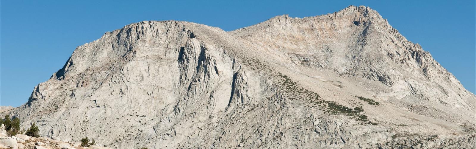

Ready to explore L Lake? Here's everything you need to know before you go!
Discover the trail
Trail description
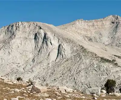
L Lake sits in California's Gold Country, a region better known for its mining history than its hiking trails — which is exactly what makes discovering a spot like this feel like a genuine find. Tucked away from the more crowded Sierra Nevada destinations, L Lake offers a quieter outdoor experience where the landscape does the talking without the weekend crowds.
The Setting
Gold Country occupies the western foothills of the Sierra Nevada, where the elevation is gentler than the high alpine zones to the east but the scenery is no less compelling. This is oak woodland and chaparral territory — a mix of blue oaks, gray pines, manzanita, and open grassy slopes that shift character dramatically with the seasons. L Lake fits naturally into this foothill landscape, offering the kind of water feature that draws wildlife and hikers alike in a region where lakes aren't always a given.
The area carries the layered history of the Gold Rush era, and that context adds a certain texture to any outing here. You're walking through land that was heavily worked, traveled, and transformed in the mid-1800s, and the terrain still holds traces of that past alongside its natural character.
What to Expect on the Trail
L Lake is the destination, and the trail leading to it reflects the rolling, sometimes rugged character of the Gold Country foothills. Expect a mix of open exposed sections and shadier stretches depending on the time of day and season. The foothill terrain means you'll likely deal with some elevation change — nothing extreme by Sierra standards, but enough to make the walk feel like a genuine hike rather than a flat stroll.
The lake itself is the payoff. In a landscape that can feel dry and sun-baked for much of the year, arriving at a body of water has a real impact. The shoreline area tends to be a good spot to slow down, eat lunch, and watch for wildlife before heading back.
Wildlife and Nature
Gold Country's foothill ecosystem supports a solid range of wildlife. Around a lake like this, you can reasonably expect to see:
- Waterfowl and shorebirds using the lake as a stopover or nesting area
- Deer, which are common throughout the oak woodland zones of the foothills
- Raptors — red-tailed hawks and turkey vultures are frequent overhead in open foothill country
- Western fence lizards and other reptiles on sunny rocky sections of trail
- Wildflowers in spring, when the foothill grasslands can be genuinely spectacular
The oak woodland habitat is particularly rich for birds, so if you hike with binoculars, this kind of location tends to reward the effort.
Practical Information
Gold Country sits at a mid-elevation range that makes it accessible for a longer shoulder season than the higher Sierra. Summer heat in the foothills can be intense, so early morning starts are strongly recommended if you're visiting between June and September. Spring is widely considered the best season for foothill hiking in this part of California — temperatures are moderate, the grass is green, and wildflowers are often at their peak.
Fall brings its own appeal as the oak leaves turn and temperatures cool back down to comfortable hiking range. Winter is generally mild enough to hike, though some trails can get muddy after rain.
Getting There
Gold Country is accessible from the Sacramento Valley to the west, with Highway 49 serving as the main corridor running through the historic foothill towns of the region. Specific access details for L Lake — including trailhead parking, road conditions, and any entry requirements — are worth confirming before you go, as foothill trailheads can vary in terms of signage and facilities.
Tips Before You Go
- Water: Carry more than you think you need. Foothill trails in Gold Country can be exposed, and the dry season is long.
- Sun protection: Open chaparral and oak woodland offer limited shade on many sections. Hat, sunscreen, and sunglasses are standard kit here.
- Ticks: The foothill grassland and brush habitat is prime tick territory, especially in spring. Check yourself thoroughly after any hike in this region.
- Footwear: Trail runners or light hiking boots work well for foothill terrain. The ground can be rocky and uneven in sections.
- Cell service: Coverage in rural Gold Country can be spotty. Download offline maps before leaving the main highway.
Who This Hike Works For
L Lake appeals to hikers who want a destination-focused outing without committing to a full alpine adventure. The lake gives the hike a clear goal and a rewarding endpoint, which makes it a solid choice for families with older kids, casual hikers looking for something more interesting than a loop trail, and anyone who wants to explore a part of California that doesn't show up on the usual highlight reels. Photographers will find the combination of foothill landscape and lakeside reflections worth the trip, particularly in the softer light of early morning or late afternoon.
If you're based in the Sacramento area and looking for a half-day or full-day outing that gets you into genuine nature without a long drive into the mountains, Gold Country's foothill trails — and L Lake specifically — are worth putting on your list.
The Essential Hiking Checklist
Everything you need for your next hike. Bilingual, printable, 1 page.
Get your free hiking checklistRecommended gear for this trail
As an Amazon Associate I earn from qualifying purchases.


Ready to go?
Everything you need to know before you goWhen?
How much?
As an Amazon Associate I earn from qualifying purchases.
Affiliate links — LGPO may earn a commission at no extra cost to you.
- Hiking shoes Essential
- → Salomon Elixir Tour Mid WP · 203.38 $
- Layered clothing Essential
- Rain jacket Essential
- Trekking poles
- → Black Diamond Trail Ergo Cork · 69.99 $
- Headlamp
- → Petzl Actik Core 625 · 103.95 $
FAQ - Frequently asked questions
Everything you need to knowSimilar hikes nearby
Discover other trails you might enjoy

Coso Range Wilderness Trail
Sierra Nevada
Bloody Mountain, California
Sierra Nevada
Mount Lyell, California
Sierra Nevada
California Hot Springs
Sierra Nevada
Mount Hopkins, California
Sierra Nevada
Vernal and Nevada Falls (The Mist) Trail
Sierra Nevada
Hiking near Victoria
93 trails to explore ~1293 km away
We work hard to provide the most up-to-date and error-free data possible. If something seems incorrect, let us know! Your contribution helps the whole community.
Hikers' opinions
Be the first to review!
No hiker has shared their experience yet. Share your impressions and help other hikers!