


Ready to explore Mount Darwin, California? Here's everything you need to know before you go!
Discover the trail
Oh no! We don't have any photos 😢
This trail hasn't been captured yet. Be the first to share your adventure!Trail description
Mount Darwin is one of the most compelling high-altitude objectives in the Sierra Nevada. Standing as the highest peak in the Darwin group of the Evolution region, it draws climbers and mountaineers who are serious about big Sierra terrain. This isn't a casual day hike — it's a genuine mountaineering route that demands route-finding ability, solid fitness, and a respect for high-elevation conditions. If you've been looking for a peak that rewards effort with one of the most dramatic panoramas in the range, Mount Darwin delivers.
The Evolution Region
Mount Darwin sits within the Evolution region of the Sierra Nevada, a stretch of backcountry that's widely considered one of the most spectacular in all of California. The area takes its name from the cluster of peaks named after scientists — Darwin, Huxley, Haeckel, Fiske, Spencer — and the Evolution Valley below, which runs along the South Fork of the San Joaquin River. The landscape here is quintessential High Sierra: granite walls, glacially carved basins, turquoise alpine lakes, and wide-open sky above treeline.
The Evolution region sits within the John Muir Wilderness, part of the Sierra National Forest and Inyo National Forest. Access to this area typically involves a significant approach through the backcountry, which means most people climbing Mount Darwin are doing it as part of a multi-day trip rather than a single push from the trailhead.
The Climb
The standard route up Mount Darwin is a non-technical scramble by Sierra standards, but that description can be misleading. The approach involves crossing talus fields, navigating around alpine lakes, and gaining significant elevation above treeline where the terrain becomes loose and exposed. Route-finding is a real skill requirement here — cairns help in places, but the upper mountain demands that you read the rock and make good decisions about your line.
The most common approach comes from the North Lake or South Lake trailheads near Bishop, crossing Piute Pass or Bishop Pass respectively and then traveling through the backcountry toward the Evolution region. Both approaches are long and involve multiple days of travel before you're even at the base of the peak. Climbers who know the area well often time their summit attempt for an early morning start from a high camp near Darwin or one of the Evolution Lakes, which puts them on the upper mountain before afternoon thunderstorms build — a critical consideration in the Sierra during summer months.
The upper slopes of Mount Darwin involve Class 3 scrambling on solid granite in the best sections, with some looser rock as you gain the ridge. The summit itself is a broad, rocky platform that opens up views in every direction across the Sierra crest.
What You'll See from the Top
The summit view from Mount Darwin is one of the defining experiences of the Evolution region. On a clear day, you can see deep into the John Muir Wilderness in multiple directions — the jagged peaks of the Palisades to the north, the broad sweep of Evolution Valley below, and the chain of Evolution Lakes glittering in their granite bowls. The sense of scale up here is hard to describe until you're standing on it. You're looking at one of the largest roadless wilderness areas in the contiguous United States, and the view makes that feel real in a way that maps don't.
The neighboring peaks of the Darwin group are close enough that you can study their routes from the summit, which tends to inspire future objectives. Climbers who've done Darwin often come back for Haeckel, Wallace, or the full Evolution traverse.
Terrain and Conditions
The terrain on and around Mount Darwin is classic High Sierra granite — generally solid on the main ridges, looser on the flanks and in the couloirs. Snow can linger well into summer in the shaded north-facing gullies, and early-season attempts may require an ice axe and crampons depending on conditions. Late July through early September is typically the most reliable window for a dry rock scramble, though conditions vary year to year.
Weather in the Evolution region moves fast. Afternoon thunderstorms are common in summer, and the exposed upper mountain is not a place you want to be when lightning is building over the crest. An early start from camp is standard practice, and turning around is always the right call if the sky is doing something you don't like.
Permits and Wilderness Access
Access to the Evolution region requires a wilderness permit for overnight travel in the John Muir Wilderness. Permits for the popular Bishop Pass and Piute Pass trailheads are in high demand and typically require advance reservation through the Inyo National Forest permit system. Quota season runs through the summer months, and walk-up permits are limited. Planning ahead is essential if you want to be in this area during peak season.
Leave No Trace principles are strictly observed in this wilderness. Camping near lakes and streams requires following established setback distances, and campfires are prohibited above a certain elevation throughout much of the High Sierra. Pack out everything you bring in.
Who This Is For
Mount Darwin is best suited for experienced backcountry travelers who are comfortable with multi-day wilderness travel, off-trail navigation, and Class 3 scrambling. It's not a beginner peak, and the remote location means that self-rescue capability matters. That said, it's not a technical climb requiring ropes or specialized gear under normal summer conditions — it's a serious hiker's peak that rewards people who've put in the time to build their Sierra legs and their route-finding skills.
If you're new to Sierra peak-bagging, there are better introductory objectives in the range. But if you've got a few High Sierra trips under your belt and you're ready to step up to something that feels genuinely committing, Mount Darwin is exactly the kind of climb that stays with you.
Getting There
The primary access points for the Evolution region are the trailheads near Bishop, California, on the eastern side of the Sierra Nevada. North Lake and South Lake trailheads both provide access via Piute Pass and Bishop Pass respectively. The town of Bishop serves as the main gateway community for supplies, gear, and permit pickup. Road access to the trailheads typically requires a high-clearance vehicle for the final miles, and trailhead parking fills early on summer weekends.
The Essential Hiking Checklist
Everything you need for your next hike. Bilingual, printable, 1 page.
Get your free hiking checklistRecommended gear for this trail
As an Amazon Associate I earn from qualifying purchases.


Ready to go?
Everything you need to know before you goWhen?
How much?
As an Amazon Associate I earn from qualifying purchases.
Affiliate links — LGPO may earn a commission at no extra cost to you.
- Hiking shoes Essential
- → Salomon Elixir Tour Mid WP · 203.38 $
- Layered clothing Essential
- Rain jacket Essential
- Trekking poles
- → Black Diamond Trail Ergo Cork · 69.99 $
- Headlamp
- → Petzl Actik Core 625 · 103.95 $
FAQ - Frequently asked questions
Everything you need to knowSimilar hikes nearby
Discover other trails you might enjoy

Coso Range Wilderness Trail
Sierra Nevada
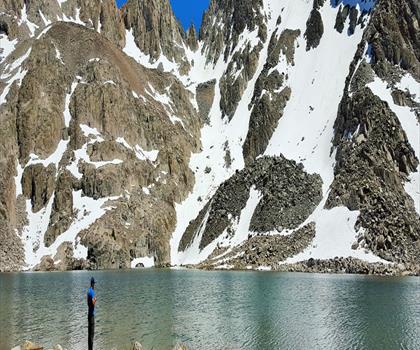
Bloody Mountain, California
Sierra Nevada
Mount Lyell, California
Sierra Nevada
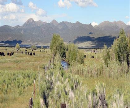
California Hot Springs
Sierra Nevada
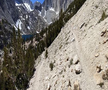
Mount Hopkins, California
Sierra Nevada
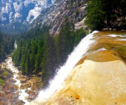
Vernal and Nevada Falls (The Mist) Trail
Sierra Nevada
Hiking near Victoria
93 trails to explore ~1308 km away
We work hard to provide the most up-to-date and error-free data possible. If something seems incorrect, let us know! Your contribution helps the whole community.
Hikers' opinions
Be the first to review!
No hiker has shared their experience yet. Share your impressions and help other hikers!