
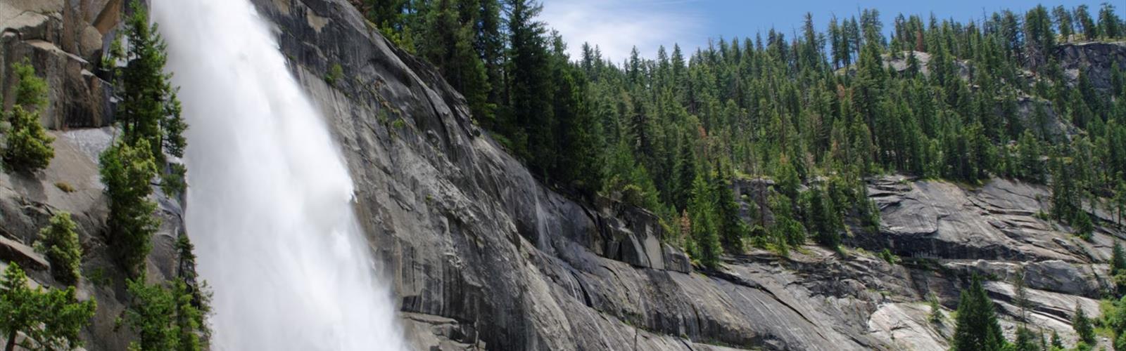

Ready to explore Liberty Cap, California? Here's everything you need to know before you go!
Discover the trail
Trail description
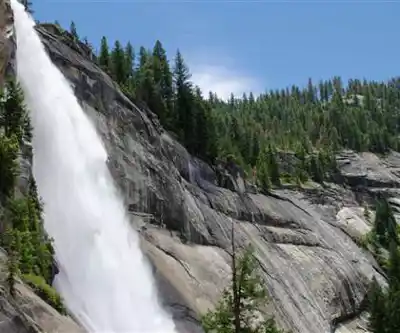
Liberty Cap is one of the most striking granite formations in Yosemite Valley — a massive, dome-shaped summit that rises dramatically above the Merced River canyon in the Sierra Nevada. Standing at the top of Nevada Fall, it commands one of the most iconic views in all of California's high country. For climbers and experienced hikers willing to push into serious terrain, Liberty Cap is a destination that earns its reputation.
What Is Liberty Cap?
Liberty Cap is a granite dome located in Yosemite National Park, in the Sierra Nevada range of California. It sits adjacent to Half Dome and Nevada Fall, forming part of the dramatic cluster of summits that define the upper Merced River corridor. The formation is named for its resemblance to a Phrygian cap — that rounded, forward-tilting shape that shows up on old coins and revolutionary-era imagery. Once you see it from the right angle, the name makes complete sense.
Unlike Half Dome, Liberty Cap does not have a cable route or a maintained hiking trail to its summit. Reaching the top is a technical climbing objective, which puts it firmly in the realm of mountaineers and rock climbers rather than general trail hikers. That said, the area around Liberty Cap — including the John Muir Trail and the Mist Trail — passes close enough that day hikers regularly get excellent views of the formation without ever touching a rope.
The Climbing Route
The standard route up Liberty Cap is a multi-pitch rock climb that requires solid trad climbing skills and experience on Sierra granite. The rock quality is generally excellent — Yosemite granite is some of the best crack climbing stone in the world — but the exposure is significant and route-finding demands attention. This is not a beginner objective.
Climbers typically approach via the Mist Trail or the John Muir Trail from Happy Isles, gaining elevation alongside the Merced River before reaching the base of the formation above Nevada Fall. The approach itself is substantial and involves significant elevation gain on maintained trail before the technical terrain even begins.
Key things to know before you go:
- Technical gear is required. This is a trad climbing route. Come equipped with a full rack appropriate for Yosemite granite, including a range of cams and nuts.
- Route-finding matters. The Sierra Nevada is not a gym. Study the route description carefully and consider consulting a current guidebook or recent trip reports before committing.
- Permits and regulations apply. Yosemite National Park has specific rules around climbing, camping, and wilderness travel. Check current National Park Service regulations before your trip, as requirements can change seasonally.
- Weather moves fast. Afternoon thunderstorms are a real hazard in the Sierra Nevada during summer months. Plan your summit push for the morning and be off exposed terrain before midday.
The Surrounding Terrain
Even if you're not climbing Liberty Cap itself, the terrain around it is worth understanding. The formation sits at the top of Nevada Fall, one of the most powerful waterfalls in Yosemite. The spray zone near the fall is genuinely wet and the rocks can be extremely slippery — this is not a place to wander off-trail without knowing what you're doing.
The views from the base of Liberty Cap, looking back toward Half Dome and down into the Merced River canyon, are exceptional. On a clear day, the scale of the Sierra Nevada landscape becomes fully apparent from this vantage point. You're standing in the middle of one of the most geologically dramatic places in North America.
The John Muir Trail passes through this area on its way between Yosemite Valley and the High Sierra. Backpackers heading toward Tuolumne Meadows or beyond will recognize Liberty Cap as a landmark along that route.
Access and Logistics
The primary access point for Liberty Cap is Yosemite National Park, which charges an entrance fee. The trailhead at Happy Isles in Yosemite Valley is the standard starting point for approaches to this part of the park. Parking in Yosemite Valley is limited and the park strongly encourages visitors to use the free valley shuttle system rather than driving to individual trailheads.
Wilderness permits are required for overnight stays in the Yosemite wilderness, including camping near Liberty Cap. Day-use climbing does not require a wilderness permit, but all visitors must pay the park entrance fee. Permit availability can be competitive, especially during peak summer season — plan ahead and check the National Park Service reservation system well in advance.
Dogs are not permitted on trails in Yosemite National Park beyond paved surfaces and developed areas. Leave your dog at home or arrange appropriate care before your visit.
What Makes Liberty Cap Worth It
There are a lot of climbing objectives in the Sierra Nevada, and Yosemite alone has enough routes to keep a climber busy for years. Liberty Cap stands out because of its position — it's not a remote backcountry objective requiring days of approach. You can reach the base in a single morning from the valley floor, climb the route, and be back in camp by evening. For climbers who want a genuine Sierra granite experience without committing to a multi-day expedition, it hits a sweet spot.
The summit view is also genuinely hard to beat. From the top of Liberty Cap, you're looking out over Nevada Fall, the Merced River canyon, Half Dome, and the broader sweep of the Yosemite high country. It's the kind of view that reminds you exactly why people have been coming to this part of California for generations.
Liberty Cap rewards preparation, technical skill, and respect for the terrain — and it delivers one of the most memorable summit experiences the Sierra Nevada has to offer.
The Essential Hiking Checklist
Everything you need for your next hike. Bilingual, printable, 1 page.
Get your free hiking checklistRecommended gear for this trail
As an Amazon Associate I earn from qualifying purchases.


Ready to go?
Everything you need to know before you goWhen?
How much?
As an Amazon Associate I earn from qualifying purchases.
Affiliate links — LGPO may earn a commission at no extra cost to you.
- Hiking shoes Essential
- → Salomon Elixir Tour Mid WP · 203.38 $
- Layered clothing Essential
- Rain jacket Essential
- Trekking poles
- → Black Diamond Trail Ergo Cork · 69.99 $
- Headlamp
- → Petzl Actik Core 625 · 103.95 $
FAQ - Frequently asked questions
Everything you need to knowSimilar hikes nearby
Discover other trails you might enjoy

Coso Range Wilderness Trail
Sierra Nevada
Bloody Mountain, California
Sierra Nevada
Mount Lyell, California
Sierra Nevada
California Hot Springs
Sierra Nevada
Mount Hopkins, California
Sierra Nevada
Vernal and Nevada Falls (The Mist) Trail
Sierra Nevada
Hiking near Victoria
93 trails to explore ~1229 km away
We work hard to provide the most up-to-date and error-free data possible. If something seems incorrect, let us know! Your contribution helps the whole community.
Hikers' opinions
Be the first to review!
No hiker has shared their experience yet. Share your impressions and help other hikers!