


Ready to explore Mount Baxter, California? Here's everything you need to know before you go!
Discover the trail
Oh no! We don't have any photos 😢
This trail hasn't been captured yet. Be the first to share your adventure!Trail description
Mount Baxter is one of the more compelling objectives in the Sierra Nevada — a high-alpine peak that rewards climbers and scramblers willing to put in the work. Sitting well above treeline in the rugged terrain of California's Sierra Nevada range, this is the kind of summit that demands respect, route-finding skills, and a solid comfort level with exposed, off-trail terrain. It's not a casual day hike, but for those with the right experience, it's a deeply satisfying climb.
The Terrain
Mount Baxter sits in classic High Sierra country. The approach takes you through open granite landscapes, past alpine lakes, and into the kind of stark, above-treeline world that defines this part of California. The rock is typical Sierra granite — solid in most places, but with loose sections that demand careful foot placement, especially on steeper pitches near the summit.
The upper mountain is a mix of talus fields, slabs, and ridgeline scrambling. There's no maintained trail to the top, which means you'll be navigating by landmarks, terrain features, and your own judgment. That's part of what makes Mount Baxter appealing to experienced climbers — it's a genuine mountain objective, not a walk-up.
The views from the upper slopes are expansive. You're looking out across one of the most dramatic mountain landscapes in North America, with jagged ridgelines, glacially carved valleys, and the wide open sky that makes the Sierra Nevada so iconic.
What Kind of Objective Is This?
Mount Baxter is best described as a Class 2 to Class 3 scramble, depending on the exact line you take. There's no technical rock climbing required on the standard routes, but you will be using your hands on steeper sections, and the exposure can feel significant if you're not used to high-alpine terrain. Route-finding is a real part of the challenge — the mountain doesn't have a single obvious path, and conditions can change the best line depending on snow coverage, especially earlier in the season.
This is not a beginner objective. You should be comfortable with off-trail travel, talus hopping, and navigating without a marked trail. A map, compass, or GPS device is essential. So is a solid understanding of Sierra Nevada weather patterns — afternoon thunderstorms are a real hazard at this elevation, and you want to be off exposed ridgelines well before they build.
Getting There
Access to Mount Baxter is from Inyo County on the eastern side of the Sierra Nevada. The primary trailhead is the North Lake/Glacier Lodge area, which provides access to routes approaching Mount Baxter via the Rae Lakes region and Baxter Pass. The trailhead sits at high elevation already, which is one of the reasons this area is so accessible for serious alpine objectives — you're not starting from the valley floor. That said, the altitude is significant, and if you're coming from sea level, giving yourself a day to acclimatize before attempting the summit is a smart move.
The road access and trailhead details are worth confirming before you go, as conditions in the eastern Sierra can affect road accessibility, particularly in early season when snow lingers at higher elevations.
Permits and Regulations
The Mount Baxter area falls within the John Muir Wilderness, which is managed by the Inyo National Forest. Overnight trips into the wilderness require a wilderness permit, and during peak season, these permits are in high demand. If you're planning an overnight approach — which many climbers do to position themselves for an early summit push — you'll want to secure your permit well in advance through the Inyo National Forest permit system.
Day trips do not require a wilderness permit, but you're still subject to Leave No Trace principles and all applicable wilderness regulations. Campfires are restricted at high elevations, and proper food storage is required due to active bear activity throughout the Sierra Nevada.
What to Bring
- Navigation tools: A detailed topo map and compass or GPS. Cell service is unreliable in this terrain.
- Layers: Temperatures drop fast at elevation, and wind on the upper ridges can be brutal even on a warm day.
- Sun protection: The UV exposure at Sierra Nevada elevations is intense. Sunscreen, sunglasses, and a hat are non-negotiable.
- Traction devices: Microspikes or crampons may be necessary earlier in the season when snow covers the upper slopes.
- Plenty of water: There are water sources on the approach, but you'll want to carry enough for the upper mountain where sources may be limited or frozen.
- A headlamp: Early starts are common on Sierra peaks to beat afternoon weather. Don't count on finishing in daylight if you start late.
Best Time to Go
The main climbing season for Mount Baxter runs from mid-summer through early fall — roughly July through October, depending on the year's snowpack. Earlier in the season, the upper mountain can hold significant snow, which changes the character of the climb considerably and may require ice axe and crampon skills. By late July and August, conditions are typically at their most straightforward. September offers excellent weather and fewer crowds, though you should be prepared for the possibility of early-season snow as fall approaches.
Who This Is For
Mount Baxter is a strong fit for hikers who are ready to make the step into true alpine scrambling. If you've done plenty of off-trail Sierra hiking, are comfortable on talus and exposed ridges, and want a summit that feels genuinely earned, this is a worthy objective. It's also a solid introduction to the kind of peak-bagging that defines Sierra Nevada climbing culture — big views, real terrain, and a summit that you reach on your own terms.
Experienced mountaineers will find it a satisfying outing that doesn't require a rack or a rope, but still delivers the full high-alpine experience that makes the Sierra Nevada one of the great mountain ranges in the world.
The Essential Hiking Checklist
Everything you need for your next hike. Bilingual, printable, 1 page.
Get your free hiking checklistRecommended gear for this trail
As an Amazon Associate I earn from qualifying purchases.


Ready to go?
Everything you need to know before you goWhen?
How much?
As an Amazon Associate I earn from qualifying purchases.
Affiliate links — LGPO may earn a commission at no extra cost to you.
- Hiking shoes Essential
- → Salomon Elixir Tour Mid WP · 203.38 $
- Layered clothing Essential
- Rain jacket Essential
- Trekking poles
- → Black Diamond Trail Ergo Cork · 69.99 $
- Headlamp
- → Petzl Actik Core 625 · 103.95 $
FAQ - Frequently asked questions
Everything you need to knowSimilar hikes nearby
Discover other trails you might enjoy

Coso Range Wilderness Trail
Sierra Nevada
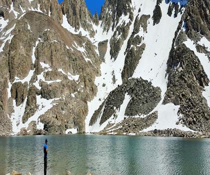
Bloody Mountain, California
Sierra Nevada
Mount Lyell, California
Sierra Nevada
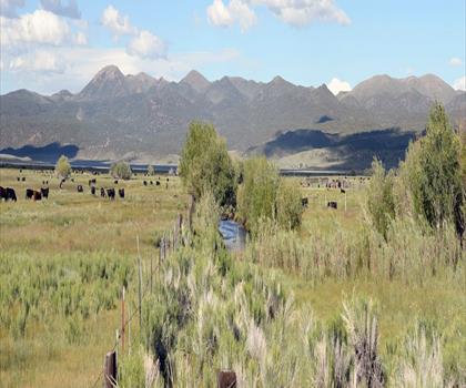
California Hot Springs
Sierra Nevada
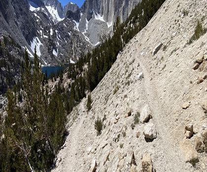
Mount Hopkins, California
Sierra Nevada
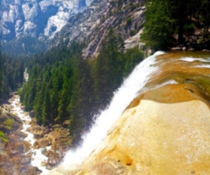
Vernal and Nevada Falls (The Mist) Trail
Sierra Nevada
Hiking near Victoria
93 trails to explore ~1348 km away
We work hard to provide the most up-to-date and error-free data possible. If something seems incorrect, let us know! Your contribution helps the whole community.
Hikers' opinions
Be the first to review!
No hiker has shared their experience yet. Share your impressions and help other hikers!