

Ready to explore Mount Irvine, California? Here's everything you need to know before you go!
Discover the trail
Trail description
Mount Irvine is one of the more compelling objectives in the Sierra Nevada — a high-altitude peak that sits in the shadow of the more famous Mount Whitney but rewards climbers with serious alpine terrain, sweeping views, and far fewer crowds. Located in the southern Sierra Nevada of California, it's a destination that draws experienced mountaineers and peak baggers who want something more demanding than a standard trail hike.
The Peak and Its Setting
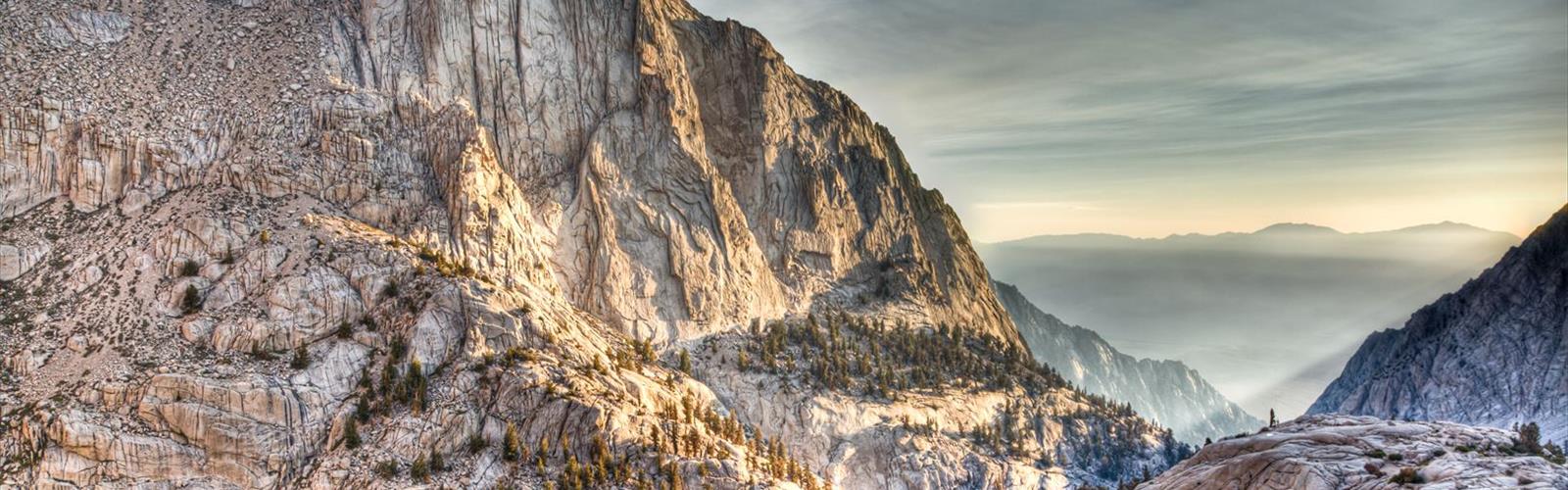
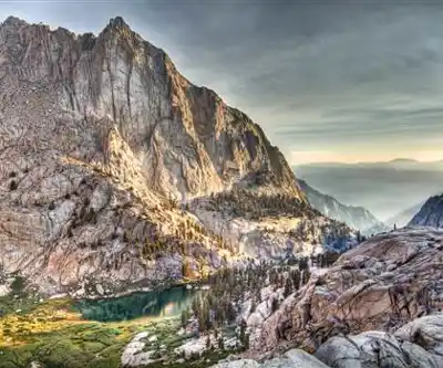
Mount Irvine stands as part of the Whitney massif, the cluster of high summits that defines the southern Sierra skyline. It's named after Andrew Irvine, the young British climber who disappeared with George Mallory on Everest in 1924 — a fitting tribute given the peak's rugged, serious character. The surrounding landscape is quintessential high Sierra: granite walls, talus fields, glacially carved basins, and the kind of stark, above-treeline terrain that makes this range so distinctive in North America.
The area sits within the John Muir Wilderness and Inyo National Forest, which means wilderness permits are required for overnight stays. Day climbers should still check current regulations with the Inyo National Forest before heading out, as permit requirements and trailhead quotas in this zone can shift seasonally.
What to Expect on the Climb
Mount Irvine is not a casual hike. The approach typically involves significant elevation gain through remote terrain, and the upper sections require route-finding on loose talus and steep rocky slopes. There is no maintained trail to the summit — this is a mountaineering objective, not a marked hiking path. Climbers need to be comfortable navigating off-trail in high-alpine conditions.
The most common approach routes pass through the Whitney Portal area or via the backcountry, depending on your itinerary. Many climbers tackle Mount Irvine as part of a multi-day Sierra high route or as an add-on to a Whitney zone trip, linking it with nearby summits like Mount Muir or Mount McAdie. The terrain between these peaks involves exposed ridgelines and class 3 scrambling in places, so solid footwork and a head for heights are essential.
Altitude is a real factor here. The summit elevation puts you well above 14,000 feet, and the approach itself spends considerable time above 12,000 feet. Acclimatization matters — rushing this climb from sea level is a recipe for altitude sickness. Spending a night at a lower elevation camp before pushing for the summit is strongly recommended.
Terrain and Conditions
The Sierra Nevada at this elevation is dominated by exposed granite, loose rock on the upper slopes, and snowfields that can persist well into summer. Early season climbers should expect snow travel and may need an ice axe and crampons depending on conditions. Late summer and early fall typically offer the most stable conditions, but afternoon thunderstorms are a serious hazard — an early start is not optional, it's mandatory.
The views from the upper slopes and summit are exceptional. You're surrounded by some of the highest terrain in the contiguous United States, with the Whitney crest visible to the east and the vast wilderness of the Kings Canyon backcountry stretching to the north and west.
Practical Information
- Wilderness permits: Required for overnight travel in the John Muir Wilderness. Permits for the Whitney Zone are highly competitive and managed through a lottery system. Check with Inyo National Forest for current permit procedures.
- Trailhead access: Whitney Portal, located west of Lone Pine, California, is the primary access point for the Whitney massif area. The road to Whitney Portal is typically open from late spring through fall.
- Season: Mid-July through September offers the most reliable conditions. Snow and ice can be present earlier in the season and require additional gear.
- Navigation: No marked trail to the summit. A topographic map, compass, and GPS are essential. Familiarity with off-trail Sierra travel is strongly recommended.
- Bear canisters: Required for overnight trips in this area. This is strictly enforced.
- Water: Available from streams and lakes in the approach basins, but always treat or filter before drinking.
Who This Climb Is For
Mount Irvine is best suited for experienced hikers and climbers who are comfortable with sustained off-trail travel, significant elevation gain, and class 2 to class 3 scrambling terrain. It's not the right objective for beginners or those without experience in high-altitude Sierra conditions. That said, for those with the right background, it's a genuinely rewarding summit in one of the most spectacular mountain environments in North America — the kind of climb that stays with you long after you're back in the valley.
The Essential Hiking Checklist
Everything you need for your next hike. Bilingual, printable, 1 page.
Get your free hiking checklistRecommended gear for this trail
As an Amazon Associate I earn from qualifying purchases.


Ready to go?
Everything you need to know before you goWhen?
How much?
As an Amazon Associate I earn from qualifying purchases.
Affiliate links — LGPO may earn a commission at no extra cost to you.
- Hiking shoes Essential
- → Salomon Elixir Tour Mid WP · 203.38 $
- Layered clothing Essential
- Rain jacket Essential
- Trekking poles
- → Black Diamond Trail Ergo Cork · 69.99 $
- Headlamp
- → Petzl Actik Core 625 · 103.95 $
FAQ - Frequently asked questions
Everything you need to knowSimilar hikes nearby
Discover other trails you might enjoy

Coso Range Wilderness Trail
Sierra Nevada
Bloody Mountain, California
Sierra Nevada
Mount Lyell, California
Sierra Nevada
California Hot Springs
Sierra Nevada
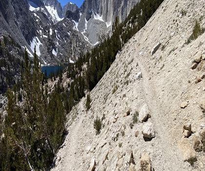
Mount Hopkins, California
Sierra Nevada
Vernal and Nevada Falls (The Mist) Trail
Sierra Nevada
Hiking near Victoria
93 trails to explore ~1383 km away
We work hard to provide the most up-to-date and error-free data possible. If something seems incorrect, let us know! Your contribution helps the whole community.
Hikers' opinions
Be the first to review!
No hiker has shared their experience yet. Share your impressions and help other hikers!