Let's Go Play Outside
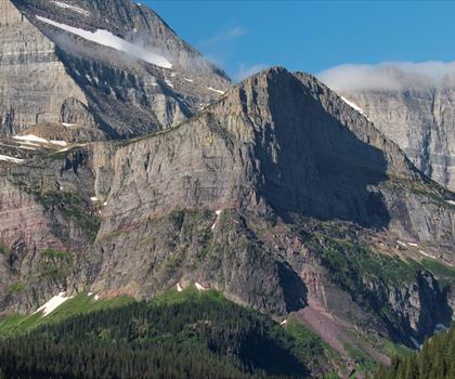
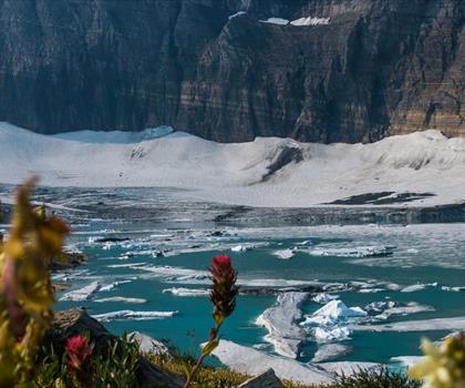
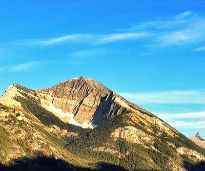
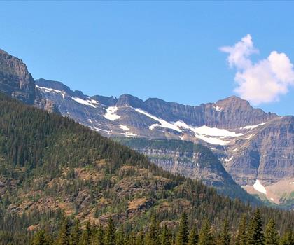
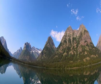
Hiking Lake McDonald - panoramic view
--°C
Loading...
See forecast →

Hiking in Lake McDonald: trails, map and practical info

Glacier Country • Montana

Photo: jonathan c. wheeler, CC BY-SA 3.0, via Wikimedia Commons

Lake McDonald (Glacier Country, Montana) : hike, 11 km.

11 km
Distance

Ready to explore Lake McDonald? Here's everything you need to know before you go!

Discover the trail

Oh no! We don't have any photos 😢

This trail hasn't been captured yet. Be the first to share your adventure!

Trail description

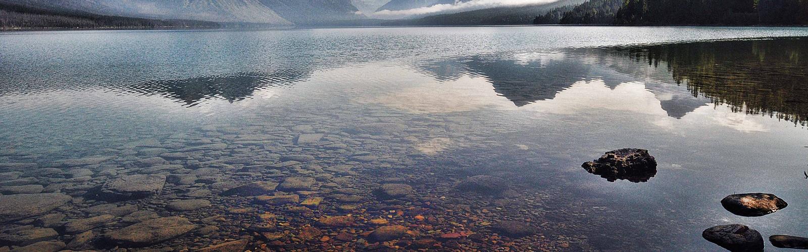
Lake McDonald is the largest lake in Glacier National Park. It is located at 48°35′N 113°55′W in Flathead County in the U.S. state of Montana. Lake McDonald is approximately 10 miles (16 km) long, and over a mile (1.6 km) wide and 472 feet (130 m) deep, filling a valley formed by a combination of erosion and glacial activity. Lake McDonald lies at an elevation of 3,153 feet (960 m) and is on the west side of the Continental Divide. The Going-to-the-Sun Road parallels the lake along its southern shoreline. The surface area of the lake is 6,823 acres (27.6 km2). The lake is home to numerous native species of trout, and other game fish. Catchable species include, but are not limited to - westslope cutthroat trout, rainbow trout, bull trout (char), lake trout (char), Lake Superior whitefish, mountain whitefish, kokanee salmon (landlocked sockeye), and suckers. However, the lake is nutrient-poor and is not considered a prime fishing destination. Grizzly bears, black bear, moose, and mule deer are found in many places near the lake but are most common on the north shore. The lake is surrounded by a dense coniferous forest dominated by various species of spruce, fir, and larch. At the westernmost section of the lake in Apgar there is a National Park Service visitor center, limited lodging and dining facilities as well as outboard powerboats available for rental. Lake McDonald Lodge is the largest lodging facility on the lake and is approximately 5 miles (8 km) east along the Going-to-the-Sun Road. Constructed in 1913-14 to resemble a rustic hunting lodge with Swiss-influenced architecture, this warm and inviting building provides comfort for overnight guests. McDonald Creek flows into and drains from the lake, and empties into the Middle Fork Flathead River shortly after.
Free 1 page
The Essential Hiking Checklist

Everything you need for your next hike. Bilingual, printable, 1 page.

Get your free hiking checklist

Recommended gear for this trail

As an Amazon Associate I earn from qualifying purchases.

LGPO Pick
Elixir Tour Mid WP
Salomon
Elixir Tour Mid WP
4.5 (2847 reviews)
Waterproof mid-height boot ideal for rocky terrain
203.38 $
See price
Best Value
Trail Ergo Cork
Black Diamond
Trail Ergo Cork
4.4 (1456 reviews)
Comfortable cork grip for long ascents
69.99 $
See price
Daylite Plus 20L
Osprey
Daylite Plus 20L
4.7 (3215 reviews)
Lightweight and versatile for day hikes
109.99 $
See price
Actik Core 625
Petzl
Actik Core 625
4.6 (1893 reviews)
USB rechargeable with 600 lumens for early starts
103.95 $
See price
Most Popular
Wide Mouth 1L
Nalgene
Wide Mouth 1L
4.8 (12540 reviews)
Unbreakable and BPA-free — a hiking essential
23.11 $
See price
Affiliate links — LGPO may earn a commission at no extra cost to you.

Ready to go?

Everything you need to know before you go

Where?

Address
Not available
GPS coordinates
48.5532, -113.9190606
Phone
Not available

When?

Opening hours
No information
Weather (next days)
Loading
What to bring?

As an Amazon Associate I earn from qualifying purchases.

Affiliate links — LGPO may earn a commission at no extra cost to you.

General hiking tips, to adapt to your outing.
Gear
Download the PDF checklist
Water & food
Tip: bring water
Good to know
In an emergency
Emergency
911
GPS coordinates
48.5532, -113.9190606

Hikers' opinions

Be the first to review!

No hiker has shared their experience yet. Share your impressions and help other hikers!

FAQ - Frequently asked questions

Everything you need to know
Didn't find your answer?
Top 10 best hiking in Glacier Country
Our ranking based on hiker reviews

Hiking near Calgary

128 trails to explore ~277 km away

View trails near Calgary
Did you spot an error?

We work hard to provide the most up-to-date and error-free data possible. If something seems incorrect, let us know!

Update : November 2026