
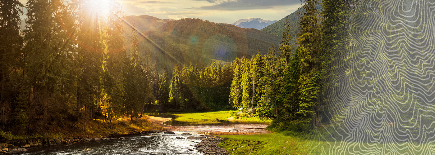
Ready to explore Beaverhead River? Here's everything you need to know before you go!
Discover the trail
Oh no! We don't have any photos 😢
This trail hasn't been captured yet. Be the first to share your adventure!Trail description
The Beaverhead River is an approximately 69-mile-long (111 km) tributary of the Jefferson River in southwest Montana (east of the Continental Divide). It drains an area of roughly 4,778 square miles (12,370 km2). The river's original headwaters, formed by the confluence of the Red Rock River and Horse Prairie Creek, are now flooded under Clark Canyon Reservoir, which also floods the first 6 miles (9.7 km) of the river. The Beaverhead then flows through a broad valley northward to join the Big Hole River and form the Jefferson River. With the Red Rock River included in its length, the river stretches another 70 miles (110 km), for a total length of 139 miles (224 km), one of the more significant drainages of south-western Montana.
The name of the Beaverhead originates from Beaverhead Rock on the middle river. This rock formation was recognized by Sacajawea when the Lewis and Clark Expedition passed the area in 1805. There were also many beavers in the area at the time, but the name does not originate from the animal. In 1805, Captain Meriwether Lewis traveled up the Jefferson and Beaverhead first, but when the rest of the expedition came, a sign Lewis had left at the confluence of the Beaverhead and Big Hole telling them to follow the Beaverhead had been cut down by a beaver, and the expedition traveled up the Big Hole instead. As a result, the swifter current of the Big Hole swamped two of their canoes before they could travel back down to the confluence.
Together with the Red Rock River, the Beaverhead forms the uppermost headwaters of the Missouri River, the longest tributary of the Mississippi River.
The river is a Class I water from the Clark Canyon Dam to its confluence with the Jefferson river for the purposes of public access for recreational purposes.
Free
1 page
The Essential Hiking Checklist
Everything you need for your next hike. Bilingual, printable, 1 page.
Get your free hiking checklistRecommended gear for this trail
As an Amazon Associate I earn from qualifying purchases.
LGPO Pick

Salomon
Elixir Tour Mid WP
Waterproof mid-height boot ideal for rocky terrain
203.38 $


Affiliate links — LGPO may earn a commission at no extra cost to you.
Ready to go?
Everything you need to know before you goWhen?
Opening hours
No information
Weather (next days)
Loading
What to bring?
As an Amazon Associate I earn from qualifying purchases.
Affiliate links — LGPO may earn a commission at no extra cost to you.
General hiking tips, to adapt to your outing.
Gear
- Hiking shoes Essential
- → Salomon Elixir Tour Mid WP · 203.38 $
- Layered clothing Essential
- Rain jacket Essential
- Trekking poles
- → Black Diamond Trail Ergo Cork · 69.99 $
- Headlamp
- → Petzl Actik Core 625 · 103.95 $
Good to know
In an emergency
Emergency
911
GPS coordinates
45.2197, 45.2197
FAQ - Frequently asked questions
Everything you need to know
Didn't find your answer?
Outings near Beaverhead River
Discover other trails you might enjoy
The New York Central Fitness Trail
North Country · 7.3 km away
7 KM
1h45
150 m
Beginner
Bridal Falls
Hudson Valley · 29.8 km away
4.7 KM
1h45
61 m
Intermediate

Madison River Wyoming border to the Jefferson River
34.0 km away
214 KM
Beginner
Abes and Essens Lake Trail
Southwest Ontario · 41.3 km away
2.4 km
45 min
330 m
Beginner
Balch Creek & Wildwood Trail Loop
42.6 km away
8 KM
2 hours
Isle La Motte Another Side of Vermont
Central Vermont · 46.3 km away
16 KM
4h00
10 m
Beginner
Top 10 best hiking in Southwest Montana
Our ranking based on hiker reviews
Hiking near Sydney
25 trails to explore ~7531 km away
Did you spot an error?
We work hard to provide the most up-to-date and error-free data possible. If something seems incorrect, let us know! Your contribution helps the whole community.
Hikers' opinions
Be the first to review!
No hiker has shared their experience yet. Share your impressions and help other hikers!