
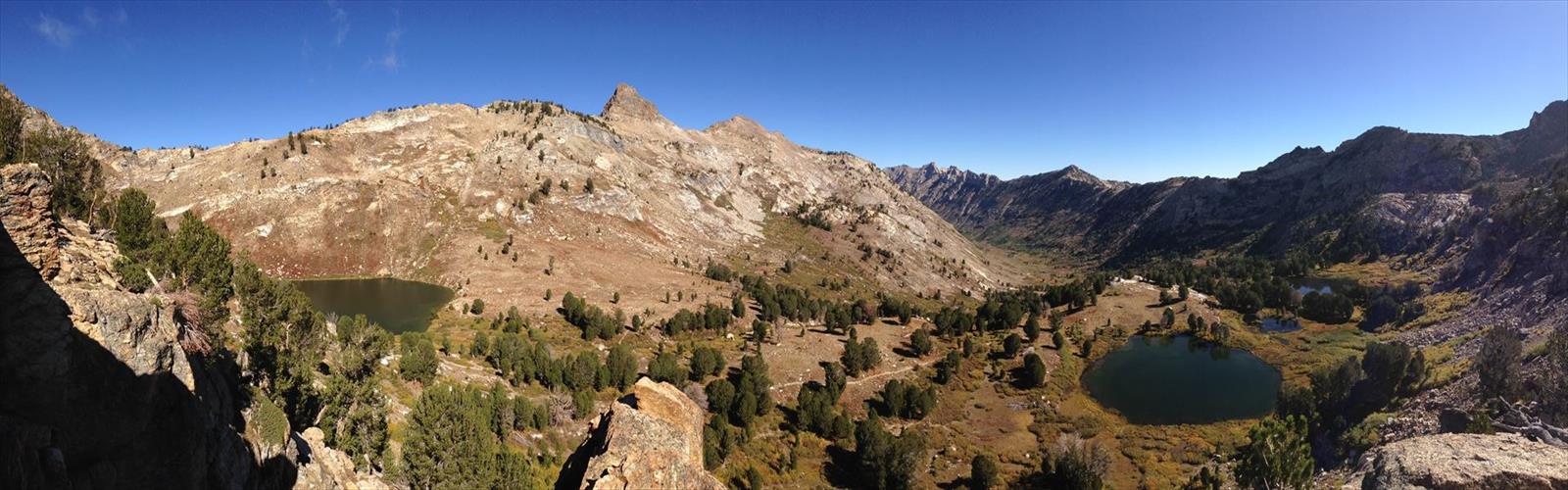

Ready to explore Ruby Crest National Recreation Trail? Here's everything you need to know before you go!
Discover the trail
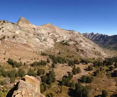
Trail description
The Ruby Crest National Recreation Trail is one of Nevada's most rewarding long-distance hiking experiences, cutting through the heart of the Ruby Mountains in Elko County. This is high-country Nevada at its finest — a landscape that surprises most people who assume the state is nothing but desert. Up here, you get alpine lakes, granite peaks, wildflower meadows, and a genuine sense of remoteness that's hard to find anywhere else in the Great Basin.
The Terrain
The trail runs along the crest of the Ruby Mountains, a range that rises dramatically from the surrounding basin floors. The terrain is rugged and varied — you move through open ridgelines with sweeping views, drop into glacially carved cirques, and pass alongside cold, clear lakes tucked into rocky bowls. The rock underfoot shifts between solid granite and looser talus sections, so footing demands attention, especially on the exposed ridges.
Elevation plays a big role in how this trail feels. You spend a significant portion of the route at high altitude, which means thinner air, stronger UV exposure, and weather that can shift fast. Afternoon thunderstorms are a real consideration during summer months — the open ridgeline sections offer zero shelter when lightning rolls in.
What Makes This Trail Stand Out
The Ruby Mountains are sometimes called the "Alps of Nevada," and the Ruby Crest Trail is the reason why. This isn't the kind of trail you stumble across on a weekend drive from Las Vegas — it takes commitment to get here, and that commitment pays off in solitude and scenery that feel genuinely earned. The range is a sky island, isolated from other mountain systems, which gives it a distinct ecological character. You're walking through habitat that supports a surprising diversity of wildlife and plant life relative to the surrounding desert.
The alpine lakes along the route are a highlight. These aren't roadside ponds — they sit in proper glacial cirques, cold and deep, with the kind of stillness that makes you want to stop and just sit for a while. Several of them are accessible as day-hike destinations if you're not doing the full trail end-to-end.
Access and Trailheads
The trail can be accessed from multiple points along its length, which gives hikers flexibility in how they approach it. The main trailheads are reached via roads off Nevada Route 227 and Nevada Route 228, with the Harrison Pass and Lamoille Canyon trailheads being the most commonly used entry points. Lamoille Canyon in particular is a well-known access corridor — the canyon road is paved and leads into some of the most dramatic scenery in the range.
Road conditions to some trailheads can be rough, and high-clearance vehicles are recommended for certain access routes. It's worth checking current conditions before you head out, especially early in the season when snow lingers and unpaved roads may still be soft or washed out.
Planning Your Trip
The Ruby Crest National Recreation Trail is managed by the Humboldt-Toiyabe National Forest. The trail is open to hikers and equestrians. Motorized vehicles are not permitted on the trail itself.
- Season: The trail is typically accessible from late June or early July through September or early October, depending on snowpack. Snow can persist well into summer at the higher elevations, and early-season hikers should be prepared for icy or snow-covered sections.
- Water: There are water sources along the route, including streams and lakes, but all water should be treated before drinking. Water availability can vary depending on the time of year and snowmelt conditions.
- Permits: No permit is currently required to hike the Ruby Crest Trail, but it's always a good idea to check with the Humboldt-Toiyabe National Forest for any updates to regulations before your trip.
- Camping: Backcountry camping is available along the trail. Practice Leave No Trace principles — this is a relatively low-traffic area and keeping it that way matters.
- Dogs: Dogs are generally permitted in national forests, but check current regulations for any specific restrictions in the Ruby Mountains area.
What to Expect on the Ground
If you're doing the full trail as a multi-day backpacking trip, plan for long days with meaningful elevation gain and loss. The route is not a flat ridge walk — it dips in and out of drainages, climbs over passes, and demands consistent effort. Navigation is generally straightforward on the main trail, but some sections can be less obvious, particularly where the trail crosses open rocky terrain or snowfields early in the season. A topographic map and the ability to use it are worth having.
Weather in the Ruby Mountains deserves respect. Afternoon thunderstorms build quickly in July and August, and the exposed ridgeline sections of the trail put you in a vulnerable position if you're caught out. Starting early and being off the high ground by early afternoon is a smart habit up here.
Wildlife in the Ruby Mountains includes mule deer, pronghorn, mountain goats, and a variety of raptors. The range is also known for its Lahontan cutthroat trout fishery in some of the lakes and streams — anglers sometimes combine a fishing trip with time on the trail.
Getting There
The Ruby Mountains are located near the town of Elko, Nevada, which serves as the main hub for supplies, fuel, and lodging before heading into the range. Elko is accessible via Interstate 80. From Elko, the drive to the main trailheads takes roughly 30 to 45 minutes depending on which access point you're targeting. Cell service is limited to nonexistent once you leave the highway corridor, so download offline maps and have your route planned before you go.
The Ruby Crest National Recreation Trail rewards hikers who come prepared — with the right gear, realistic expectations about the terrain and weather, and a willingness to put in the miles to reach a corner of Nevada that most people never see.
The Essential Hiking Checklist
Everything you need for your next hike. Bilingual, printable, 1 page.
Get your free hiking checklistRecommended gear for this trail
As an Amazon Associate I earn from qualifying purchases.


Ready to go?
Everything you need to know before you goWhen?
How much?
As an Amazon Associate I earn from qualifying purchases.
Affiliate links — LGPO may earn a commission at no extra cost to you.
- Hiking shoes Essential
- → Salomon Elixir Tour Mid WP · 203.38 $
- Layered clothing Essential
- Rain jacket Essential
- Trekking poles
- → Black Diamond Trail Ergo Cork · 69.99 $
- Headlamp
- → Petzl Actik Core 625 · 103.95 $
FAQ - Frequently asked questions
Everything you need to knowSimilar hikes nearby
Discover other trails you might enjoy
Temple Mesa
Las Vegas Valley
Churchill Peak
Las Vegas Valley
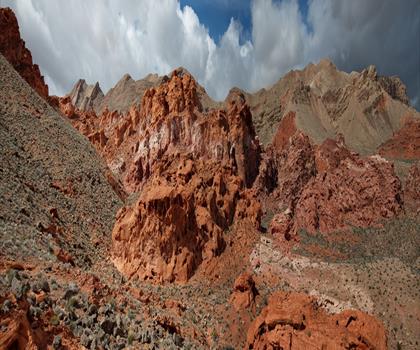
Bowl of Fire
Las Vegas Valley
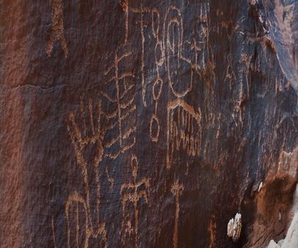
Gold Butte, Nevada
Las Vegas Valley
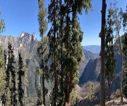
Harris Mountain, Nevada
Las Vegas Valley
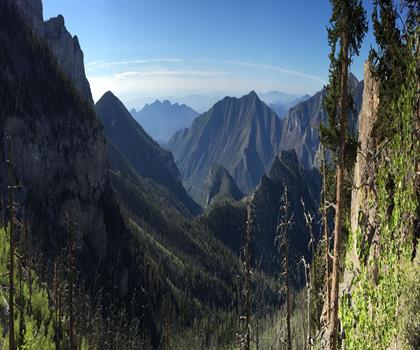
Mummy Mountain, Nevada
Las Vegas Valley
Hiking near Sydney
22 trails to explore ~7608 km away
We work hard to provide the most up-to-date and error-free data possible. If something seems incorrect, let us know! Your contribution helps the whole community.
Hikers' opinions
Be the first to review!
No hiker has shared their experience yet. Share your impressions and help other hikers!