
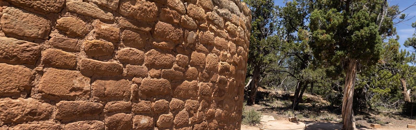

Ready to explore Temple Mesa? Here's everything you need to know before you go!
Discover the trail
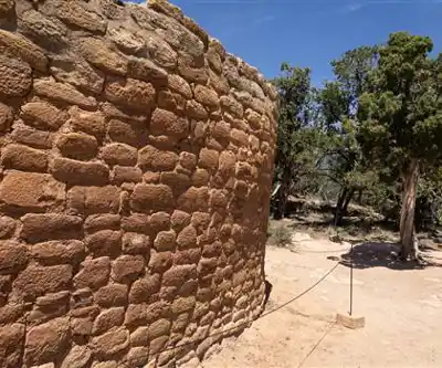
Trail description
Temple Mesa is one of those spots in the Las Vegas Valley that rewards the hikers who venture a little beyond the most-visited trailheads. Sitting within the broader network of public lands surrounding Las Vegas, this mesa offers a raw, open desert experience with the kind of elevated perspective that puts the entire valley into context. If you're looking for something that feels genuinely wild without requiring a long drive out of town, Temple Mesa delivers.
The Terrain
As the name suggests, Temple Mesa is defined by its mesa topography — a flat-topped elevated landform that rises above the surrounding desert floor. The approach takes you through classic Mojave Desert terrain: rocky washes, scattered desert scrub, and open ground that shifts between sandy flats and harder-packed earth studded with loose rock. The edges of the mesa offer exposed ridgeline walking with wide-open sightlines in multiple directions.
The rock underfoot is typical of the Las Vegas Valley's geology — a mix of sedimentary layers that have been pushed, folded, and eroded over millions of years. Colors shift as you move through the landscape, from pale tans and creams to deeper reds and oranges depending on the light and the specific rock formation you're crossing. It's visually striking in a way that's easy to take for granted until you stop and actually look around.
Vegetation is sparse but characteristic of the Mojave: creosote bush, brittlebush, bursage, and the occasional cholla cactus. After a wet winter, wildflowers can push through the rocky soil and add unexpected color to the landscape. The openness of the terrain means you'll rarely feel hemmed in — sight lines are long, and the sky feels enormous.
The Experience on the Trail
Hiking at Temple Mesa is less about following a manicured path and more about navigating open desert terrain. Route-finding is part of the experience here. The mesa itself acts as a natural landmark and destination, so the general direction of travel is intuitive, but you'll want to pay attention to where you're placing your feet and how you're tracking your route, especially on the return.
The views from the top of the mesa are the clear highlight. From the elevated platform, you get a sweeping look at the Las Vegas Valley spread out below, with the Spring Mountains rising to the west and the layered ridgelines of the surrounding desert extending in every direction. It's the kind of view that reframes the city entirely — from up here, the urban sprawl looks surprisingly small against the scale of the surrounding landscape.
The desert light plays a significant role in the experience. Early morning and late afternoon are when the colors in the rock and soil are most saturated, and the low-angle light throws the texture of the terrain into sharp relief. Midday in warmer months can be harsh, so timing your visit accordingly makes a real difference in both comfort and visual payoff.
What Makes Temple Mesa Stand Out
The Las Vegas Valley has no shortage of hiking options, but many of the most popular spots — Red Rock Canyon, Valley of Fire, Mount Charleston — draw significant crowds, especially on weekends. Temple Mesa sits in a different category: it's the kind of place that attracts hikers who are comfortable with less infrastructure and more self-reliance. There are no paved paths, no interpretive signs, and no guardrails at the edge. That's a feature, not a bug, for the right kind of hiker.
The mesa format itself is also relatively uncommon in the immediate Las Vegas area. While the region has plenty of canyon hikes and ridge scrambles, a true mesa — with its flat summit and abrupt edges — offers a different spatial experience. You're not working your way up a narrow canyon or along a ridgeline; you're climbing to an open platform and then walking across it, which creates a distinct sense of arrival and exposure.
Practical Information
Given the open desert nature of this area, a few practical points are worth keeping in mind before you head out:
- Water: There is no water available on the trail or at the trailhead. Carry more than you think you'll need, especially in warmer months. The desert heat in the Las Vegas Valley is serious, and dehydration can set in faster than expected.
- Sun protection: The terrain is almost entirely exposed. A hat, sunscreen, and sun-protective clothing are not optional here — they're essential for a comfortable and safe outing.
- Footwear: The rocky, uneven terrain calls for sturdy hiking footwear with good ankle support and grip. Trail runners work for experienced hikers comfortable on loose rock; hiking boots are the safer choice for most people.
- Navigation: Because this is open desert terrain without a clearly defined maintained trail, a GPS device or a downloaded offline map is strongly recommended. Knowing your starting coordinates and keeping track of your route back to the trailhead is important.
- Timing: Early morning starts are strongly recommended from late spring through early fall. Summer temperatures in the Las Vegas Valley regularly exceed dangerous thresholds, and exposed desert terrain amplifies the heat. Fall through early spring offers the most comfortable conditions for this kind of open-terrain hiking.
- Leave No Trace: The desert ecosystem here is fragile. Stay on established paths where they exist, avoid trampling vegetation, and pack out everything you bring in.
Getting There
Temple Mesa is located within the Las Vegas Valley, accessible from the greater Las Vegas metropolitan area. As with many desert hiking areas in this region, the final approach may involve unpaved road sections, so checking current access conditions before you go is a good habit. Confirm parking and trailhead access details through current local sources before your visit, as conditions in desert areas can change.
Who This Hike Is For
Temple Mesa is best suited for hikers who are comfortable with open desert navigation and self-supported outings. It's not the right choice for someone looking for a well-marked, heavily trafficked trail with clear signage at every junction. But for hikers who want a genuine desert experience close to Las Vegas — one that involves real terrain, real exposure, and real views — it's a compelling option that holds up well against the more famous destinations in the region.
The Essential Hiking Checklist
Everything you need for your next hike. Bilingual, printable, 1 page.
Get your free hiking checklistRecommended gear for this trail
As an Amazon Associate I earn from qualifying purchases.


Ready to go?
Everything you need to know before you goWhen?
How much?
As an Amazon Associate I earn from qualifying purchases.
Affiliate links — LGPO may earn a commission at no extra cost to you.
- Hiking shoes Essential
- → Salomon Elixir Tour Mid WP · 203.38 $
- Layered clothing Essential
- Rain jacket Essential
- Trekking poles
- → Black Diamond Trail Ergo Cork · 69.99 $
- Headlamp
- → Petzl Actik Core 625 · 103.95 $
FAQ - Frequently asked questions
Everything you need to knowSimilar hikes nearby
Discover other trails you might enjoy
Churchill Peak
Las Vegas Valley
Ruby Crest National Recreation Trail
Las Vegas Valley
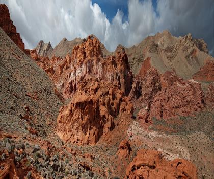
Bowl of Fire
Las Vegas Valley
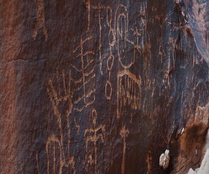
Gold Butte, Nevada
Las Vegas Valley
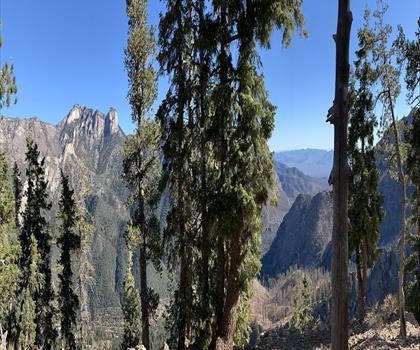
Harris Mountain, Nevada
Las Vegas Valley
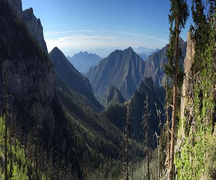
Mummy Mountain, Nevada
Las Vegas Valley
Hiking near Sydney
22 trails to explore ~7609 km away
We work hard to provide the most up-to-date and error-free data possible. If something seems incorrect, let us know! Your contribution helps the whole community.
Hikers' opinions
Be the first to review!
No hiker has shared their experience yet. Share your impressions and help other hikers!