Let's Go Play Outside
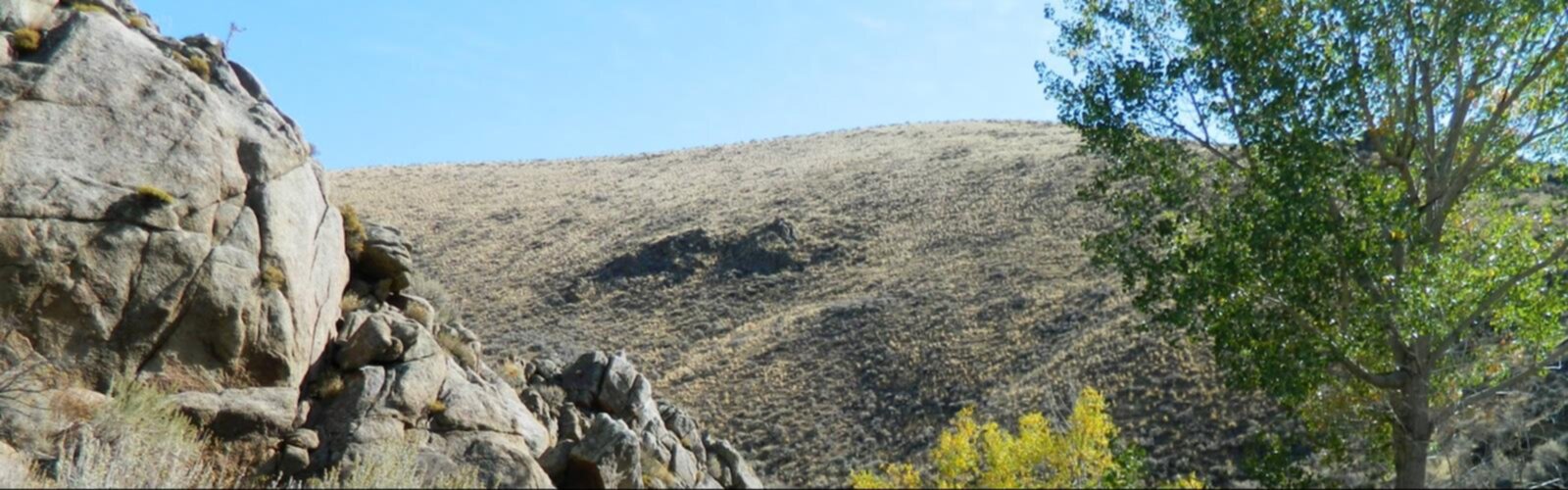
Hiking Snake River Road to Oregon - panoramic view  outdoor sky tree mountain field nature landscape desert hill rock hillside plant
--°C
Loading...
See forecast →

Hiking in Snake River Road to Oregon: trails, map and practical info

Central Oregon • Oregon

In Central Oregon, 148 km of trails run along the Snake River, which at 1,078 miles (1,735 km) long is the largest tributary of the Columbia River.

148 km
Distance
3.5 hours
Duration
Difficulty
Easy
Recommended for :
Beginners

Ready to explore Snake River Road to Oregon? Here's everything you need to know before you go!

Discover the trail

1 community photo

Trail description

The Snake River is a major river of the greater Pacific Northwest in the United States. At 1,078 miles (1,735 km) long, it is the largest tributary of the Columbia River, the largest North American river that empties into the Pacific Ocean. Rising in western Wyoming, the river flows through the Snake River Plain of southern Idaho, then through the rugged Hells Canyon area via northeastern Oregon and the rolling Palouse Hills, to reach its mouth near the Washington Tri-Cities area, where it enters the Columbia. Its drainage basin encompasses parts of six U.S. states, and its average discharge is over 54,000 cubic feet per second (1,500 m3/s). Rugged mountains divided by rolling plains characterize the physiographically diverse watershed of the Snake River. The Snake River Plain was created by a volcanic hotspot which now lies underneath Yellowstone National Park, where the headwaters of the Snake River arise. Gigantic glacial-retreat flooding episodes that occurred during the previous Ice Age carved out many topographical features, including various canyons and ridges along the middle and lower Snake River. Two of these catastrophic flooding events significantly affected the river and its surrounds. More than 11,000 years ago, prehistoric Native Americans lived along the Snake. Salmon from the Pacific Ocean spawned in the millions in the river. These fish were central to the lives of the people along the Snake below Shoshone Falls. By the time Lewis and Clark crossed the Rockies and sighted the valley of a Snake tributary, the Nez Perce and Shoshone were the most powerful peoples in the region. Some tribes adopted use of horses after contact with Europeans, which reshaped their hunting and cultures for the next few hundred years before outside settlement. Later explorers and fur trappers further changed and used the resources of the Snake River basin. At one point, a hand sign made by the Shoshones representing fish was misinterpreted to represent a snake, giving the Snake River its name. By the middle 19th century, the Oregon Trail, a pioneer trail of which a major portion followed the Snake River, had been established by aspiring settlers and traders. Steamboats and railroads moved agricultural products and minerals along the river throughout the 19th and early 20th centuries. The powerful, steep flow of the Snake River has been used since the 1890s to generate hydroelectricity, enhance navigation, and provide irrigation water from fifteen major dams built on the lower river, transforming it into a series of reservoirs. Several of these have been proposed for removal in order to restore some of the river's once-tremendous salmon runs.
Free 1 page
The Essential Hiking Checklist

Everything you need for your next hike. Bilingual, printable, 1 page.

Get your free hiking checklist

Recommended gear for this trail

As an Amazon Associate I earn from qualifying purchases.

LGPO Pick
Elixir Tour Mid WP
Salomon
Elixir Tour Mid WP
4.5 (2847 reviews)
Waterproof mid-height boot ideal for rocky terrain
203.38 $
See price
Daylite Plus 20L
Osprey
Daylite Plus 20L
4.7 (3215 reviews)
Lightweight and versatile for day hikes
109.99 $
See price
Most Popular
Wide Mouth 1L
Nalgene
Wide Mouth 1L
4.8 (12540 reviews)
Unbreakable and BPA-free — a hiking essential
23.11 $
See price
Best Value
Trail Ergo Cork
Black Diamond
Trail Ergo Cork
4.4 (1456 reviews)
Comfortable cork grip for long ascents
69.99 $
See price
Actik Core 625
Petzl
Actik Core 625
4.6 (1893 reviews)
USB rechargeable with 600 lumens for early starts
103.95 $
See price
Affiliate links — LGPO may earn a commission at no extra cost to you.

Ready to go?

Everything you need to know before you go

Where?

Address
Not available
GPS coordinates
45.1692858, -121.2913237
Phone
Not available

When?

Opening hours
No information
Weather (next days)
Loading
What to bring?

As an Amazon Associate I earn from qualifying purchases.

Affiliate links — LGPO may earn a commission at no extra cost to you.

General hiking tips, to adapt to your outing.
Gear
Download the PDF checklist
Water & food
Tip: bring water
Plan for at least 2 L per person on an outing of 2 hours or more.
Good to know
In an emergency
Emergency
911
GPS coordinates
45.1692858, -121.2913237

Hikers' opinions

Be the first to review!

No hiker has shared their experience yet. Share your impressions and help other hikers!

FAQ - Frequently asked questions

Everything you need to know
Snake River Road to Oregon is rated easy.
Allow about 3.5 hours for Snake River Road to Oregon (148 km).
Didn't find your answer?
Top 10 best hiking in Central Oregon
Our ranking based on hiker reviews

Hiking near Victoria

105 trails to explore ~395 km away

View trails near Victoria
Did you spot an error?

We work hard to provide the most up-to-date and error-free data possible. If something seems incorrect, let us know!

Update : November 2026