
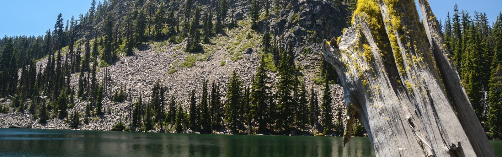
Ready to explore Pengra Pass? Here's everything you need to know before you go!
Discover the trail
Oh no! We don't have any photos 😢
This trail hasn't been captured yet. Be the first to share your adventure!Trail description
The Pengra Pass rail route, also known as the Natron Cutoff, the Cascade Subdivision, or the Cascade Line, is a Union Pacific Railroad line (originally a Southern Pacific Railroad line) connecting Eugene, Oregon, with Klamath Falls, Oregon. Construction of the line began in 1905 and was completed in the mid-1920s. Its name denotes a mountain pass on the Lane County–Klamath County boundary in the Cascade Mountains of Oregon, about 1.5 miles (2.4 km) from Willamette Pass. The line heads southeast from Eugene, up the Cascades and over Pengra Pass, then southward beside U.S. Route 97 to Klamath Falls, where it splits in two, each track continuing into California. The route has at least 22 tunnels, several snow sheds and multiple bridges across canyons.
The Pengra Pass route was built to provide trains running between Eugene and California with a cheaper and otherwise more practical option than to follow the older Siskiyou Pass route, which runs south from Eugene and over Siskiyou Pass to California. As a result, the Siskiyou Pass route was rendered nearly obsolete. As of 2011, no trains had used the Siskiyou Pass route in almost a decade.
Nonetheless, a major helper operation is demanded by the Pengra Pass route's 44 miles (71 km) of constant grade—the longest anywhere on the former Southern Pacific system, including Donner Pass.
The right-of-way is surrounded by waterfalls and streams running through a Douglas fir forest. At many locations, the track runs atop the steep southern slopes of the Salt Creek canyon. For hours before one sees a train on the route, one may hear the noise of multiple-unit diesel engines thundering up the canyon walls in their task to get the trains over the mountains; in the other direction, dynamic brakes whine.
Free
1 page
The Essential Hiking Checklist
Everything you need for your next hike. Bilingual, printable, 1 page.
Get your free hiking checklistRecommended gear for this trail
As an Amazon Associate I earn from qualifying purchases.
LGPO Pick

Salomon
Elixir Tour Mid WP
Waterproof mid-height boot ideal for rocky terrain
203.38 $


Affiliate links — LGPO may earn a commission at no extra cost to you.
Ready to go?
Everything you need to know before you goWhen?
Opening hours
No information
Weather (next days)
Loading
What to bring?
As an Amazon Associate I earn from qualifying purchases.
Affiliate links — LGPO may earn a commission at no extra cost to you.
General hiking tips, to adapt to your outing.
Gear
- Hiking shoes Essential
- → Salomon Elixir Tour Mid WP · 203.38 $
- Layered clothing Essential
- Rain jacket Essential
- Trekking poles
- → Black Diamond Trail Ergo Cork · 69.99 $
- Headlamp
- → Petzl Actik Core 625 · 103.95 $
Good to know
In an emergency
Emergency
911
GPS coordinates
43.5817, -122.057745
FAQ - Frequently asked questions
Everything you need to know
Didn't find your answer?
Outings near Pengra Pass
Discover other trails you might enjoy

Top 10 best hiking in Central Oregon
Our ranking based on hiker reviews
Hiking near Victoria
105 trails to explore ~548 km away
Did you spot an error?
We work hard to provide the most up-to-date and error-free data possible. If something seems incorrect, let us know! Your contribution helps the whole community.
Hikers' opinions
Be the first to review!
No hiker has shared their experience yet. Share your impressions and help other hikers!