
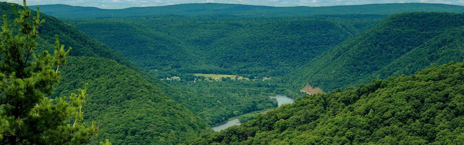
Ready to explore Donut Hole Trail? Here's everything you need to know before you go!
Discover the trail
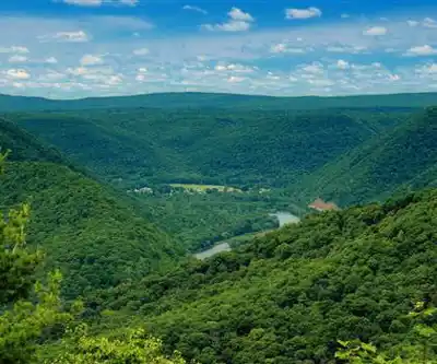
Trail description
The Donut Hole Trail is a point-to-point trail across Sproul State Forest, mostly in Clinton County; according to the Susquehanna Greenway, about 5 miles at Jericho are in Cameron County. It is walked on foot, with or without nights in the woods. The DCNR says it is blazed orange.
Length and difficulty
The sources do not give the same length. The Sproul State Forest page (DCNR) says approximately 90 miles, as do the Susquehanna Greenway and PA Wilds; the Kettle Creek State Park page (DCNR) gives 94 miles in total, and the Keystone Trails Association (KTA) 94.2 miles. According to Wikipedia, the trail was about 89 miles long in the late 1980s; in 2015 a major reroute south of Hyner Run State Park added several miles, for 94.2 miles today. The Sproul State Forest page (DCNR) says the trail ends at Hyner Run State Park; according to Wikipedia, that was the end of the original version, which was extended in the 1980s west to Jericho and east to Farrandsville.
The DCNR places the Kettle Creek State Park section in its highest category, "most difficult hiking". The KTA calls it one of the most remote and challenging backpacking trails in the state, with numerous steep climbs and unbridged stream crossings.
The map pin: Kettle Creek State Park
Kettle Creek State Park is in western Clinton County (97 Kettle Creek Park Lane, Renovo; latitude 41.37517, longitude -77.93277, per the DCNR). The DCNR says the trail passes through the park for only 0.4 mile, near the Lower Campground. The amenities listed at the trailhead are modern restrooms, potable water and picnic tables. The park is open every day, from sunrise to sunset.
Kettle Creek: a changed route
According to Wikipedia, for safety reasons the official route was moved in the 2010s to avoid the wide, unbridged crossing of Kettle Creek. The Susquehanna Greenway and PA Wilds still describe a major crossing there: do not attempt it when the water is high, and a yellow-blazed route avoids it. For the current route, the Sproul State Forest office in Renovo (570-923-6011) is the place to ask.
Getting to the ends
At Jericho, the trailhead is near the intersection of PA 120 and PA 872 in Cameron County: take the village's only street to its end, off PA 120. At Farrandsville, about 7 miles outside Lock Haven, cross the Route 664 bridge over the Susquehanna River, turn left at the end of the bridge and follow the river for 5 miles, then drive another 0.6 mile to where the road turns away from the river past a church. The trailhead is at the end of the road, in the Game Commission parking lot.
Permits, maps and camping
According to the Susquehanna Greenway and PA Wilds, a camping permit is required to stay more than one night at the same spot. The Sproul State Forest office in Renovo (570-923-6011) provides maps and permits, and the DCNR posts East and West PDF maps. According to Wikipedia, camping is prohibited along 8.1 miles of the route where it crosses a Nature Conservancy parcel.
Connections and day hikes
Per the KTA, the trail shares 8.6 miles with the Susquehannock Trail System. It links to the Black Forest Trail by the T-Squared Trail and to the Chuck Keiper Trail by the Jack Paulhamus/Garby Trail. PA Wilds suggests the stretch from Hyner Run State Park to Hyner View Overlook as a day hike.
Reported hazards
Wikipedia mentions uneven, wet terrain, rattlesnakes, mosquitoes, ticks and black bears, and says the trail is open year-round.
Everything you need for your next hike. Bilingual, printable, 1 page.
Get your free hiking checklistRecommended gear for this trail
As an Amazon Associate I earn from qualifying purchases.


Ready to go?
Everything you need to know before you goStarting Point
The Donut Hole Trail has two ends: Jericho (west) and Farrandsville (east). The map pin is Kettle Creek State Park, which the trail crosses for 0.4 mile near the Lower Campground. See the description for access to the ends.
When?
As an Amazon Associate I earn from qualifying purchases.
Affiliate links — LGPO may earn a commission at no extra cost to you.
- Hiking shoes Essential
- → Salomon Elixir Tour Mid WP · 203.38 $
- Layered clothing Essential
- Rain jacket Essential
- Trekking poles
- → Black Diamond Trail Ergo Cork · 69.99 $
- Headlamp
- → Petzl Actik Core 625 · 103.95 $
FAQ - Frequently asked questions
Everything you need to knowOutings near Donut Hole Trail
Discover other trails you might enjoy
Chuck Keiper Trail
Pennsylvania Dutch Country · 17.4 km away
Black Moshannon State Park
Pennsylvania Dutch Country · 52.2 km away
Golden Eagle
Pocono Mountains · 59.2 km away

Mags Path
Pennsylvania Dutch Country · 70.8 km away
Roe Trail
Pennsylvania Dutch Country · 72.0 km away

Buffalo Mountain-East Slope, Pennsylvania
Valleys of the Susquehanna · 75.0 km away
Hiking near Ithaca
75 trails to explore ~168 km away
We work hard to provide the most up-to-date and error-free data possible. If something seems incorrect, let us know! Your contribution helps the whole community.
Hikers' opinions
Be the first to review!
No hiker has shared their experience yet. Share your impressions and help other hikers!