
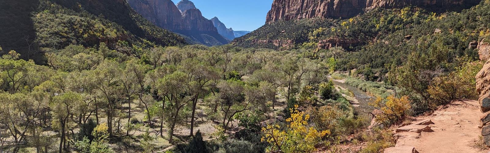
Ready to explore Angels Landing Trail? Here's everything you need to know before you go!
Discover the trail
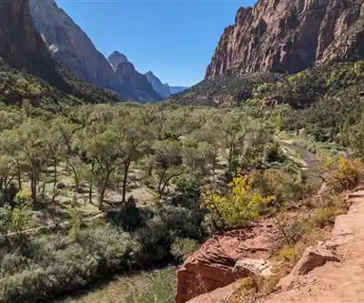
Trail description
The historical buildings and structures of Zion National Park represent a variety of buildings, interpretive structures, signs and infrastructure associated with the National Park Service's operations in Zion National Park, Utah. Structures vary in size and scale from the Zion Lodge to road culverts and curbs, nearly all of which were designed using native materials and regional construction techniques in an adapted version of the National Park Service Rustic style. A number of the larger structures were designed by Gilbert Stanley Underwood, while many of the smaller structures were designed or coordinated with the National Park Service Branch of Plans and Designs. The bulk of the historic structures date to the 1920s and 1930s. Most of the structures of the 1930s were built using Civilian Conservation Corps labor.
The version of the National Park Service Rustic style that was adopted at Zion was less extreme in its rustic character than that employed at other parks. Compared with the Bryce Canyon Lodge, the Zion Park Lodge used smaller elements of timber and stonework, and employed milled lumber in place of rough log elements. This reflected the more settled character of the Zion area, which retained farms and irrigation systems at the time the first visitor facilities were built.
Many of Zion's historical structures are listed on the National Register of Historic Places (NRHP), either as individual structures or as contributing structures in a historic district. They represent an unusually homogeneous series of buildings for a national park, sharing details of composition, scale and materials. They have collectively been described as some the best work in the National Park Service Rustic style. (The NRHP-listed structures are also listed in alphabetical order in National Register of Historic Places listings in Zion National Park.)
The park also preserves remnants of early Mormon settlement in Zion Canyon, which began in 1862. Two irrigation canals and a cable draw works remain.
In winter
According to the National Park Service (NPS), conditions on the West Rim Trail up to Scout Lookout and Angels Landing can be very icy and cold during the winter months, especially on the switchbacks known as Walter's Wiggles. The NPS suggests wearing several warm layers, a hat and gloves, and proper traction devices on ice. It also notes that the metal chains are very cold in winter and that gloves may be useful. The park advises against ascending when the ground is wet or icy, because the rock becomes very slick when wet and most accidents on the chains occur in wet conditions. Everyone who hikes Angels Landing needs a permit; the NPS writes that permits are required to hike the chains section from Scout Lookout to Angels Landing. During the few weeks in winter and spring when the shuttle is not running, you drive yourself to the trailhead, which is The Grotto (shuttle stop #6).
Everything you need for your next hike. Bilingual, printable, 1 page.
Get your free hiking checklistRecommended gear for this trail
As an Amazon Associate I earn from qualifying purchases.


Ready to go?
Everything you need to know before you goWhen?
As an Amazon Associate I earn from qualifying purchases.
Affiliate links — LGPO may earn a commission at no extra cost to you.
- Hiking shoes Essential
- → Salomon Elixir Tour Mid WP · 203.38 $
- Layered clothing Essential
- Rain jacket Essential
- Trekking poles
- → Black Diamond Trail Ergo Cork · 69.99 $
- Headlamp
- → Petzl Actik Core 625 · 103.95 $
FAQ - Frequently asked questions
Everything you need to knowOutings near Angels Landing Trail
Discover other trails you might enjoy
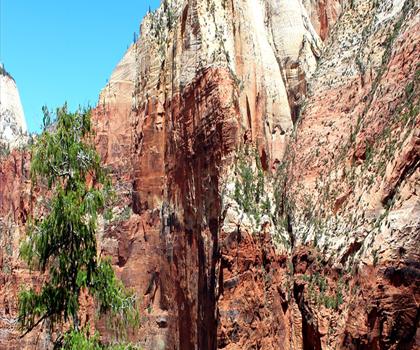
Emerald Pools Trail
Southern Utah · 0.7 km away
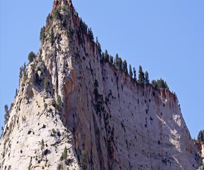
Hidden Canyon Trail
Southern Utah · 1.5 km away
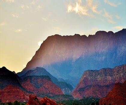
Silver Reef
Southern Utah · 37.2 km away
Under the Rim Trail
Southern Utah · 66.9 km away
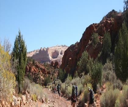
Wire Pass Trailhead
Southern Utah · 86.4 km away

Harris Wash
Southern Utah · 149.2 km away
Hiking near Kelowna
50 trails to explore ~1498 km away
We work hard to provide the most up-to-date and error-free data possible. If something seems incorrect, let us know! Your contribution helps the whole community.
Hikers' opinions
Be the first to review!
No hiker has shared their experience yet. Share your impressions and help other hikers!