
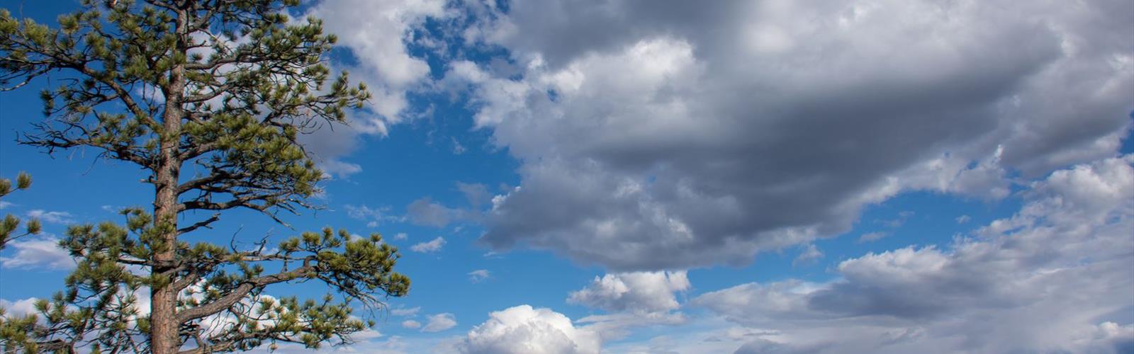

Ready to explore Under the Rim Trail? Here's everything you need to know before you go!
Discover the trail
Trail description
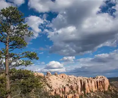
The Under the Rim Trail is one of Bryce Canyon National Park's most rewarding backcountry routes — a point-to-point trail that takes you deep into the hoodoo landscape below the canyon's famous rim. While most visitors stick to the overlooks and the Rim Trail up top, this route drops you into the heart of the park's geology, winding through a world of eroded spires, pink and orange badlands, and quiet forest stretches that feel genuinely remote.
What the Trail Is
The Under the Rim Trail runs along the base of the Pink Cliffs, connecting Bryce Point in the north to Rainbow Point in the south. It's a classic backcountry experience in a park that's often associated with day hikes and crowded viewpoints. Down here, the crowds disappear fast. You're moving through the canyon's interior rather than looking at it from above, which gives you a completely different relationship with the terrain.
The trail passes through a series of distinct environments — open badlands sections where the hoodoos tower above you, shaded ponderosa pine forests, and dry meadow stretches that open up the sky. The Pink Cliffs form the backdrop throughout, and the color shifts dramatically depending on the time of day and the light.
The Terrain
This is not a flat trail. The route involves significant elevation change as it repeatedly climbs up and drops back down between the rim and the canyon floor. The footing varies a lot — some sections are solid packed dirt, others are loose sand or eroded clay that can be slippery when wet. The badlands sections in particular require attention, especially after rain when the clay surface becomes unpredictable.
Water sources exist along the route but should never be assumed reliable. Springs and seeps are marked on park maps, but flow can vary significantly by season and year. Anyone doing this trail overnight needs to plan water carefully and treat everything they collect.
The trail connects to several spur trails that climb back up to the rim, which gives you options for shortening the route or building in a loop. These connectors — including trails to Swamp Canyon, Whiteman Bench, and Sheep Creek — are useful for customizing your itinerary or bailing out if conditions change.
Doing It as a Backpacking Trip
The Under the Rim Trail is primarily done as a multi-day backpacking route. There are designated campsites spaced along the trail, and a backcountry permit is required for overnight use. Permits are available through the park's permit system — it's worth planning ahead, especially for spring and fall when this trail sees more use.
Most people run the trail south to north (Rainbow Point to Bryce Point) or north to south depending on shuttle logistics. Either direction works, but the elevation profile and the location of water sources are worth factoring into your planning. The park's visitor center is the best place to get current conditions, water source status, and permit information before you head out.
Campsites are primitive — no facilities, no bear boxes in most locations, so a bear canister or approved hang system is necessary. The park sits at high elevation, which means temperatures can drop sharply at night even in summer, and afternoon thunderstorms are common from July through early September.
Day Hiking Sections
You don't have to commit to the full route to experience the Under the Rim Trail. Several access points along the rim let you drop down for a half-day or full-day out-and-back. Bryce Point is the most popular starting point for day hikers wanting a taste of the trail. The section near Rainbow Point also gets day use from visitors already at the southern end of the park's scenic drive.
Keep in mind that any out-and-back from the rim means climbing back up at the end of your hike — and at this elevation, that climb is felt. Starting early and carrying more water than you think you need are both good habits here.
Wildlife and Natural Features
Bryce Canyon's backcountry supports mule deer, pronghorn, and a healthy population of Utah prairie dogs in the meadow areas. Raptors are common overhead, and the ponderosa pine sections often have active bird life. The hoodoo formations along the trail are some of the most photogenic in the park precisely because you're seeing them at eye level and from below rather than from a distant overlook.
The Pink Cliffs that define this section of the park are part of the Grand Staircase — a sequence of geological layers that steps down from Bryce toward the Grand Canyon. The rock here is relatively young in geological terms and erodes quickly, which is why the landscape looks so dramatic and why the formations are constantly, slowly changing.
Practical Notes
- Permits: A backcountry permit is required for overnight camping. Day use does not require a permit.
- Water: Springs and seeps exist along the route but are not guaranteed. Carry enough capacity to bridge gaps between sources and always treat water before drinking.
- Elevation: Bryce Canyon sits at high elevation. Acclimatize before pushing hard, and be prepared for cold nights and afternoon storms in summer.
- Shuttle logistics: The trail is point-to-point, so you'll need to arrange a shuttle between Bryce Point and Rainbow Point, or plan a loop using one of the rim connector trails.
- Leave No Trace: Camping is restricted to designated sites. Pack out all waste and follow the park's guidelines for waste disposal in the backcountry.
- Dogs: Pets are not permitted on backcountry trails in Bryce Canyon National Park.
- Season: The trail is typically accessible from late spring through fall. Snow can linger into May at higher elevations, and early season conditions can be muddy.
Getting There
Access points for the Under the Rim Trail are located along the Bryce Canyon scenic drive. Bryce Point and Rainbow Point both have parking areas. The park entrance fee applies, and the visitor center near the north entrance is a good first stop for current trail conditions and permit pickup.
The Essential Hiking Checklist
Everything you need for your next hike. Bilingual, printable, 1 page.
Get your free hiking checklistRecommended gear for this trail
As an Amazon Associate I earn from qualifying purchases.


Ready to go?
Everything you need to know before you goWhen?
How much?
As an Amazon Associate I earn from qualifying purchases.
Affiliate links — LGPO may earn a commission at no extra cost to you.
- Hiking shoes Essential
- → Salomon Elixir Tour Mid WP · 203.38 $
- Layered clothing Essential
- Rain jacket Essential
- Trekking poles
- → Black Diamond Trail Ergo Cork · 69.99 $
- Headlamp
- → Petzl Actik Core 625 · 103.95 $
FAQ - Frequently asked questions
Everything you need to knowSimilar hikes nearby
Discover other trails you might enjoy
Boulder Top
Southern Utah
Mount Peale
Southern Utah
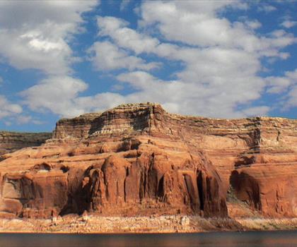
Lake Powell
Southern Utah
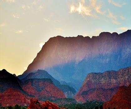
Silver Reef
Southern Utah

Harris Wash
Southern Utah
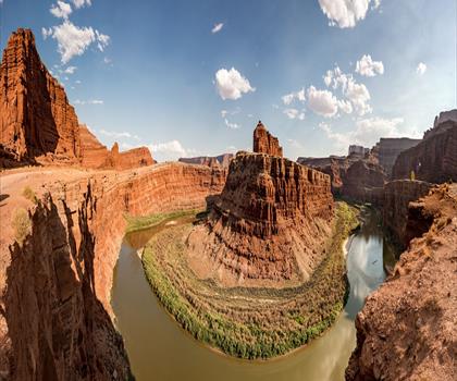
White Rim Trail
Southern Utah
Hiking near Kelowna
45 trails to explore ~1495 km away
We work hard to provide the most up-to-date and error-free data possible. If something seems incorrect, let us know! Your contribution helps the whole community.
Hikers' opinions
Be the first to review!
No hiker has shared their experience yet. Share your impressions and help other hikers!