

Ready to explore escalante river? Here's everything you need to know before you go!
Discover the trail
Trail description
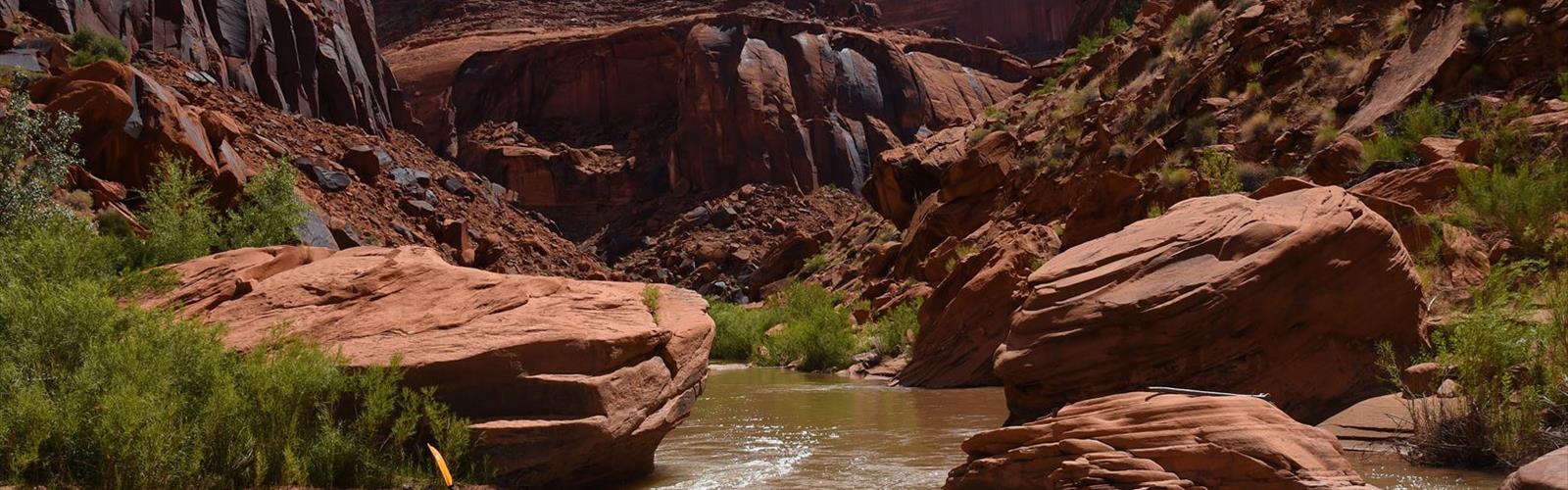
The Escalante River corridor is one of the most rewarding and genuinely wild hiking destinations in Utah. Carved through layers of Navajo sandstone over millions of years, this canyon system offers a hiking experience that's hard to match anywhere in the American Southwest. You're not following a groomed trail here — you're navigating the river itself, wading through water, scrambling over boulders, and reading the canyon walls as you go. That's exactly what makes it special.
The Terrain
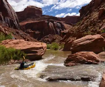
The Escalante River flows through a deep, winding canyon in the Grand Staircase-Escalante National Monument in south-central Utah. The landscape is defined by towering sandstone walls, natural arches, slot canyon tributaries, and cottonwood-lined stretches of riverbank. The canyon floor alternates between sandy benches, slickrock, and stretches where the river takes up the full width of the canyon floor — meaning you will get your feet wet. There's no avoiding it, and honestly, that's part of the experience.
The rock formations here are stunning in a very raw, unpolished way. You're not looking at them from a viewpoint — you're walking through them, touching them, camping under them. The walls close in and open up unpredictably, and side canyons branch off in every direction, each one worth exploring if you have the time.
How Hiking Here Actually Works
This is not a loop trail with a trailhead kiosk and a map board. Hiking the Escalante River requires route-finding skills, a good topographic map, and comfort with river crossings. The most common access point is the trailhead at the Highway 12 bridge, just outside the town of Escalante. From there, hikers travel downstream through the canyon, often using the river as the trail itself.
Because there's no maintained trail, your pace depends heavily on water levels, the number of crossings, and how much time you spend exploring side canyons. Water levels in the Escalante River vary significantly by season and year, which affects both the difficulty of crossings and the overall experience. Always check current conditions before heading out.
Navigation is a real skill requirement here. A topo map and the ability to read it are essential. GPS is helpful as a backup, but canyon walls can affect signal. Don't rely on your phone alone.
Side Canyons and Key Landmarks
One of the biggest draws of the Escalante River corridor is the network of side canyons that feed into it. These tributaries — many of them narrow slot canyons — are some of the most photogenic and geologically fascinating features in the entire monument. Coyote Gulch, Death Hollow, and Phipps Wash are among the well-known drainages that connect to the main river corridor, each offering its own character and challenges.
Natural arches appear throughout the canyon system, some visible from the river bottom, others requiring short scrambles to reach. The combination of flowing water, desert varnish on the walls, hanging gardens fed by seeps, and the sheer scale of the sandstone formations creates a layered visual experience that changes constantly as you move through the canyon.
Permits and Regulations
The Escalante River corridor falls within Grand Staircase-Escalante National Monument, managed by the Bureau of Land Management (BLM). Overnight camping in the backcountry requires a free permit, which can be obtained at the Escalante Interagency Visitor Center in the town of Escalante. Day hikers do not need a permit. Leave No Trace principles are strongly enforced here — pack out all waste, camp on durable surfaces, and respect the fragile desert ecosystem.
There are no fees to hike in the monument, but regulations around campfire use, waste disposal, and camping distances from water sources apply. Check with the BLM or the visitor center for current rules before your trip.
What to Bring
Preparation is not optional on the Escalante River. The remoteness of the canyon means that help is far away if something goes wrong. A few things that matter here more than on most trails:
- Water filtration: The river is your primary water source. Bring a reliable filter or purification method.
- Footwear for water crossings: Many hikers use dedicated water shoes or sandals for crossings and switch to dry footwear on dry stretches. Others just accept wet feet throughout. Either way, plan for it.
- Topo maps: Paper maps are essential. Download offline maps as a backup.
- Sun protection: The canyon offers shade in places, but open stretches can be brutally exposed, especially in summer.
- Extra food and time: Progress through the canyon is slower than it looks on a map. Build buffer days into your itinerary.
Seasonal Considerations
Spring and fall are the most popular seasons for hiking the Escalante River corridor. Spring brings higher water levels from snowmelt, which can make crossings more challenging but also fills the canyon with a particular energy. Fall offers cooler temperatures and lower water, making travel generally easier. Summer is hot and flash flood risk increases significantly with afternoon monsoon storms — this is not a place to be caught in a slot canyon during a storm. Winter is possible for experienced hikers but cold temperatures and potential ice in the canyon require additional preparation.
Who This Hike Is For
The Escalante River is best suited for hikers who are comfortable with route-finding, river crossings, and multi-day backcountry travel. It's not a beginner destination, but it's also not technical climbing — it's demanding in the way that sustained, self-supported wilderness travel is demanding. If you've done multi-day backcountry trips before and you're comfortable navigating without a marked trail, this canyon will reward you in ways that few places can.
Day hikers can still get a genuine taste of the canyon by heading downstream from the Highway 12 bridge and turning around when they're ready — even a few miles in gives you a real sense of what this place is about.
The Essential Hiking Checklist
Everything you need for your next hike. Bilingual, printable, 1 page.
Get your free hiking checklistRecommended gear for this trail
As an Amazon Associate I earn from qualifying purchases.


Ready to go?
Everything you need to know before you goWhen?
How much?
As an Amazon Associate I earn from qualifying purchases.
Affiliate links — LGPO may earn a commission at no extra cost to you.
- Hiking shoes Essential
- → Salomon Elixir Tour Mid WP · 203.38 $
- Layered clothing Essential
- Rain jacket Essential
- Trekking poles
- → Black Diamond Trail Ergo Cork · 69.99 $
- Headlamp
- → Petzl Actik Core 625 · 103.95 $
FAQ - Frequently asked questions
Everything you need to knowSimilar hikes nearby
Discover other trails you might enjoy
Boulder Top
Southern Utah
Mount Peale
Southern Utah
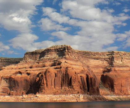
Lake Powell
Southern Utah
Under the Rim Trail
Southern Utah
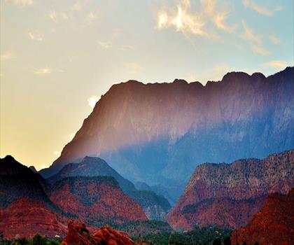
Silver Reef
Southern Utah

Harris Wash
Southern Utah
Hiking near Calgary
120 trails to explore ~1512 km away
We work hard to provide the most up-to-date and error-free data possible. If something seems incorrect, let us know! Your contribution helps the whole community.
Hikers' opinions
Be the first to review!
No hiker has shared their experience yet. Share your impressions and help other hikers!