or pick your starting city — the number is how many trails we list.
New Brunswick · Upper Saint John River Valley
One outing. Just the right one.
Compare the 3 hiking trails in Upper Saint John River Valley by duration, level and access.
By François Dumaine · updated October 14, 2026
See the trails in Upper Saint John River Valley
3 trails
No trail matches these filters.
Coordinates: LGPO database · map © OpenStreetMap contributors
Trails can close or change with the season: thaw, snow, maintenance. Each trail page links to the site manager, who publishes closures.
Our practical tipsThe dog rules are not yet confirmed on our trail pages for this region.
Our practical tipsCounts based on our 3 trails in Upper Saint John River Valley; details and sources are on each trail page.
We list 3: 2 easy and 1 hard.
Among the 2 easy trails, start with Hays Falls (3.2 km, 1 hr 15 min) and Mount Pleasant (5.8 km, 2 hr 15 min). Each trail page gives the duration, the level and the access conditions.
Each trail page links to the site manager's website (park, municipality, reserve), which publishes closures and rules. During the thaw and after heavy rain, some trails may be closed.
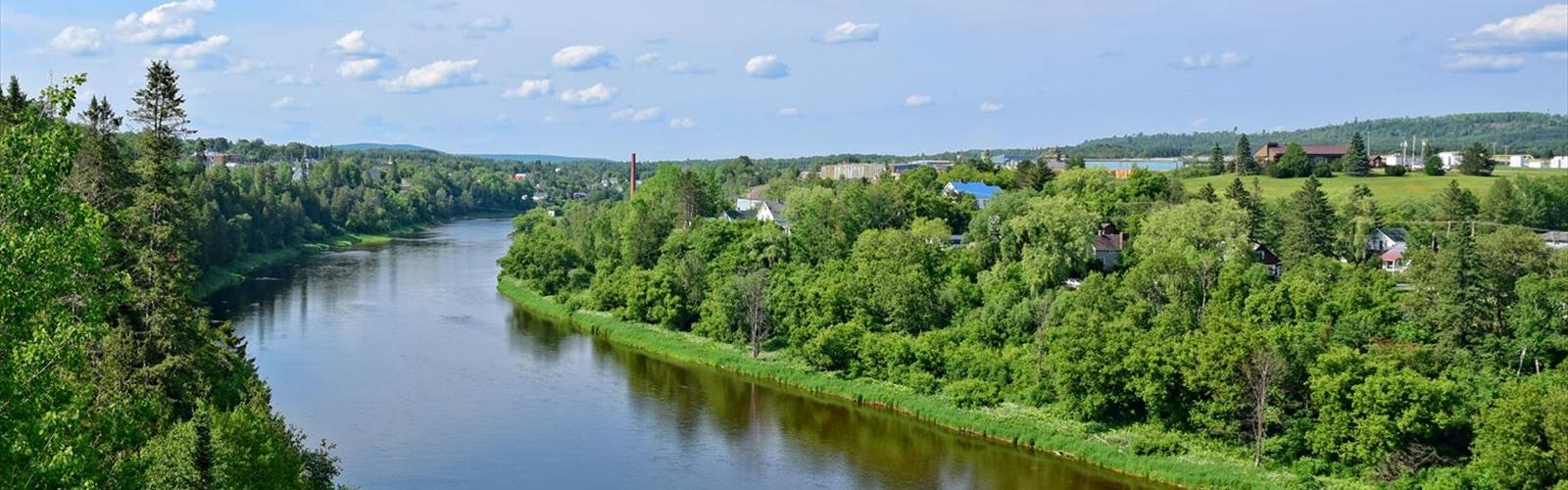
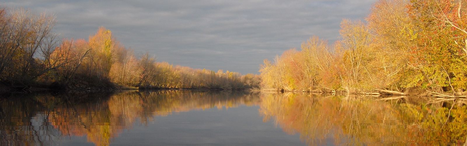
Upstream of Fredericton, the Saint John River runs along the Maine border. The valley alternates farmland and wooded hills.
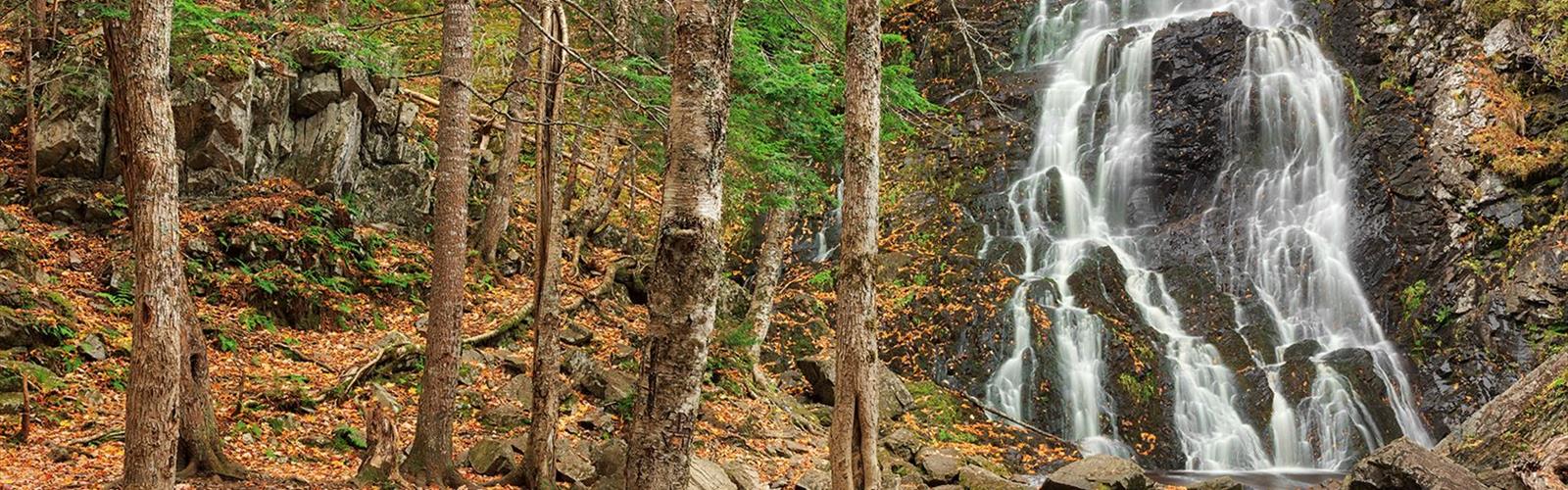
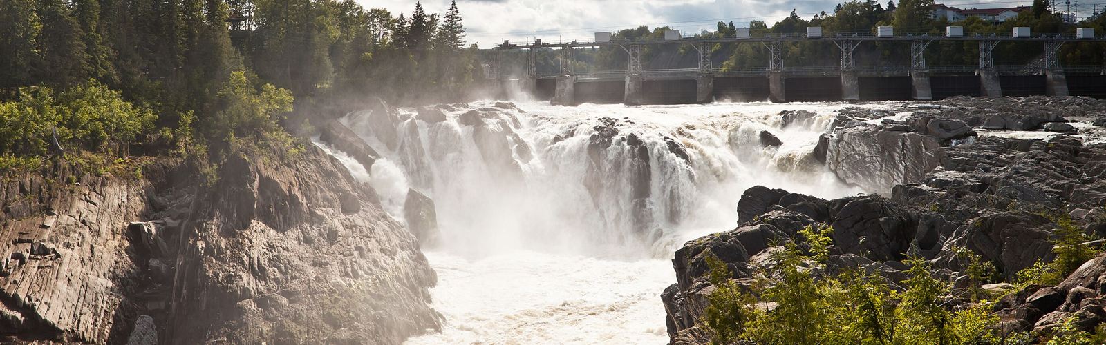
The Maliseet Trail, near Woodstock, leads to Hays Falls, where Hays Brook drops through the forest. The trail follows an old portage between the Saint John River basin and the St. Croix River basin and is part of the Sentier NB network. The flow varies: the falls are strongest in spring and after rain, and freeze completely in winter.
Mount Pleasant lies farther north. The Tobique River, a tributary of the Saint John, flows farther north still.
Forest trails can be muddy and slippery in spring: wear closed shoes, not sandals.

Free guide: 25 hikes under 2 hours from Montreal
Drive time, distance and level for each one. The ones we go back to ourselves.
Get the guide