
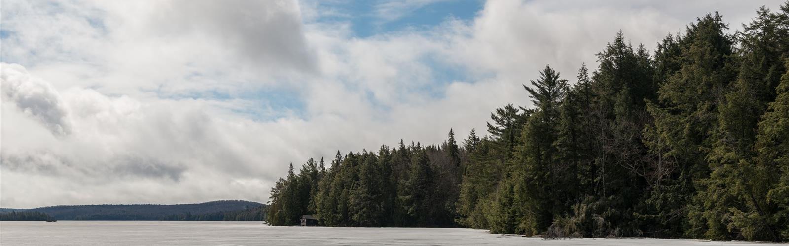

Ready to explore Whiskey Rapids Trail? Here's everything you need to know before you go!
Discover the trail
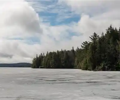
Trail description
Terrain and Footing
The trail is well-marked and generally in good condition, but a few sections deserve attention. Near the rapids, the granite surfaces can be slippery when wet — either from rain or from the mist that rises off the water. Sturdy hiking boots with good grip make a real difference here. Running shoes or casual footwear are manageable in dry conditions but become a liability after rain. The forest sections can also develop muddy patches following precipitation, particularly in spring. This trail often floods during times of high water in the Oxtongue River, such as during spring melt and just after periods of extended heavy rain.
The loop format is forgiving — you're never far from the trailhead, and there are no exposed ridges or technical sections to navigate. For families with younger children, the terrain is engaging without being intimidating, though close supervision near the water is important.
The Essential Hiking Checklist
Everything you need for your next hike. Bilingual, printable, 1 page.
Get your free hiking checklistRecommended gear for this trail
As an Amazon Associate I earn from qualifying purchases.


Ready to go?
Everything you need to know before you goStarting Point
The whiskey rapids trail is located in the town of Whitney, Ontario. To get to the start of the trails, take Highway 60 east from Ottawa to Whitney. Turn left onto County Road 9 and drive for 2 km until you reach the trailhead parking lot on the right.
When?
How much?
As an Amazon Associate I earn from qualifying purchases.
Affiliate links — LGPO may earn a commission at no extra cost to you.
- Hiking shoes Essential
- → Salomon Elixir Tour Mid WP · 203.38 $
- Layered clothing Essential
- Rain jacket Essential
- Trekking poles
- → Black Diamond Trail Ergo Cork · 69.99 $
- Headlamp
- → Petzl Actik Core 625 · 103.95 $
FAQ - Frequently asked questions
Everything you need to knowSimilar hikes nearby
Discover other trails you might enjoy

Opeongo Lake
Algonquin Park, Almaguin Highlands, Muskoka and Parry Sound
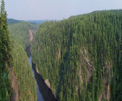
Barron Canyon
Algonquin Park, Almaguin Highlands, Muskoka and Parry Sound
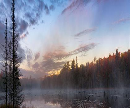
Doe Lake
Algonquin Park, Almaguin Highlands, Muskoka and Parry Sound
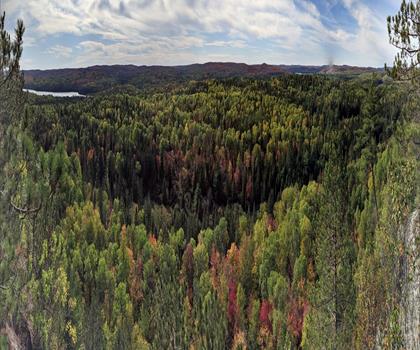
Centennial Ridges Trail
Algonquin Park, Almaguin Highlands, Muskoka and Parry Sound
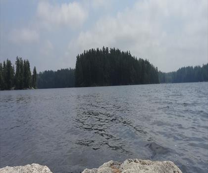
Hardy Lake
Algonquin Park, Almaguin Highlands, Muskoka and Parry Sound
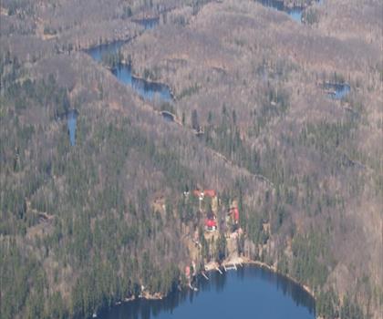
Whitestone Lake
Algonquin Park, Almaguin Highlands, Muskoka and Parry Sound
Hiking near Barrie
146 trails to explore ~142 km away
We work hard to provide the most up-to-date and error-free data possible. If something seems incorrect, let us know! Your contribution helps the whole community.
Hikers' opinions
Be the first to review!
No hiker has shared their experience yet. Share your impressions and help other hikers!