
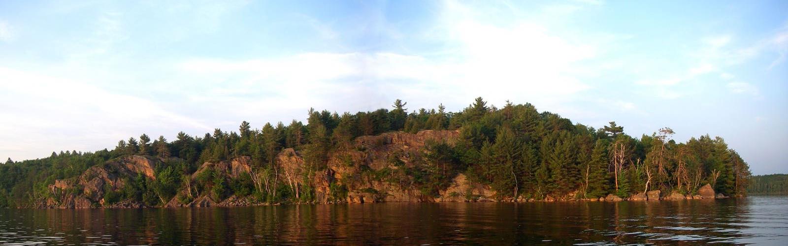

Ready to explore Anstruther Lake? Here's everything you need to know before you go!
Discover the trail
Trail description
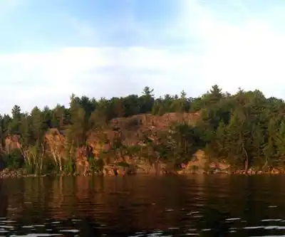
Anstruther Lake offers hikers a perfect introduction to the rugged beauty of the Haliburton Highlands, where crystal-clear waters meet dense Canadian Shield forests. This 2.5-kilometer trail delivers an authentic Ontario wilderness experience without demanding extreme fitness levels, making it an ideal choice for families and casual hikers looking to explore one of the region's most scenic destinations. The moderate 150-meter elevation gain provides just enough challenge to earn those rewarding lake views, while the estimated 1 hour and 15 minutes of hiking time allows for a satisfying outdoor adventure that fits comfortably into a day trip.
What makes Anstruther Lake special is how it captures the essence of the Haliburton Highlands in a compact, accessible package. The trail winds through classic Shield country terrain, where ancient granite bedrock emerges between towering pines and hardwood groves, creating that distinctive landscape that defines this corner of Ontario. The lake itself serves as both destination and centerpiece, its pristine waters reflecting the surrounding forest canopy and providing a stunning backdrop for the entire hiking experience.
Trail Experience and Terrain
The Anstruther Lake trail follows natural contours through varied terrain that showcases the geological diversity of the Haliburton Highlands. You'll start on relatively level ground before encountering the gradual climbs that characterize this region, where the underlying Canadian Shield creates rolling topography punctuated by rocky outcrops and forested valleys. The path surface alternates between packed earth sections and areas where granite bedrock shows through, requiring sturdy footwear but remaining manageable for hikers with basic experience.
As you progress along the trail, the forest composition shifts from mixed hardwood stands dominated by maple and oak to sections where towering white and red pines create cathedral-like canopies overhead. These transitions in vegetation reflect the subtle changes in elevation and soil conditions that make hiking in the Haliburton Highlands so visually engaging. The trail's moderate difficulty rating reflects these varied conditions – while never technically challenging, the route demands attention to footing and provides enough elevation change to feel like a genuine wilderness adventure.
The most rewarding sections occur where the trail climbs away from the lake through dense forest before emerging at elevated viewpoints. These vantage points provide perspective on Anstruther Lake's full extent and the endless rolling, forested landscape that stretches toward the horizon. The interplay between water and forest creates constantly changing scenery as you move along the trail, with new views opening up around each bend and through gaps in the tree cover.
Lake Access and Scenic Highlights
Anstruther Lake's pristine waters serve as the trail's primary attraction, offering multiple opportunities to appreciate this classic Haliburton Highlands lake environment. The shoreline access points along the route provide perfect spots for extended breaks, where you can observe the lake's ecosystem up close and enjoy the kind of natural quiet that makes this region so appealing to outdoor enthusiasts. The water clarity here is exceptional, allowing you to peer into the depths and often spot fish moving in the shallows.
The lake's setting exemplifies what makes the Haliburton Highlands special – undeveloped shorelines where forest meets water in an unbroken natural transition. Rocky points and small bays create varied shoreline topography, while the surrounding hills provide a sense of enclosure that makes the lake feel intimate despite its substantial size. On calm days, the water's surface creates perfect mirror reflections of the surrounding forest and sky, delivering those picture-perfect moments that define memorable hiking experiences.
During warmer months, the lake offers swimming opportunities for those willing to brave the typical coolness of Ontario's natural waters. The combination of hiking and potential swimming makes this destination particularly appealing during summer, when the forest provides welcome shade and the lake offers refreshing relief from hiking exertion.
Wildlife and Natural Environment
The diverse ecosystem around Anstruther Lake supports wildlife populations typical of the Haliburton Highlands, adding an element of discovery to every hiking experience. White-tailed deer are frequently encountered, especially during early morning or late afternoon hikes when they emerge from forest cover to drink at the lake's edge. The mixed forest habitat also supports smaller mammals, though patient observation is often required to spot the more elusive species that call this area home.
Bird life around Anstruther Lake reflects the region's diverse habitats, from deep forest species to those attracted to the lake's aquatic environment. The combination of mature forest and water creates ideal conditions for a variety of songbirds, while the lake itself often hosts waterfowl, particularly during spring and fall migration periods. The natural quiet of the area means bird calls and other wildlife sounds form a constant soundtrack to your hiking experience.
The forest ecosystem here showcases the transition zone characteristic of the Haliburton Highlands, where southern Ontario's deciduous species meet the boreal forest elements that dominate further north. This creates rich biodiversity in both plant and animal communities, making every season offer different opportunities for nature observation and photography.
Seasonal Considerations and Planning
Each season transforms the Anstruther Lake hiking experience, though the trail's moderate difficulty and relatively short distance make it accessible throughout much of the year. Spring brings the challenge of mud season and black flies, but also rewards hikers with wildflower displays and the return of migratory bird species. The forest floor comes alive with trilliums and other native flowers, creating spectacular displays for those willing to time their visits correctly.
Summer provides optimal hiking conditions, with warm weather perfect for combining trail exploration with lake activities. The mixed forest canopy provides good shade during the hottest parts of the day, while multiple shoreline access points offer cooling opportunities. Fall delivers the spectacular foliage display that makes the Haliburton Highlands famous throughout Ontario, though hikers should prepare for cooler temperatures and potentially wet trail conditions.
Winter completely transforms the landscape around Anstruther Lake, though trail access and conditions may be significantly different during snow season. The combination of frozen lake surface and snow-covered forest creates an entirely different but equally beautiful hiking environment for those equipped with appropriate winter gear and experience.
Essential preparation for any season includes sturdy hiking boots capable of handling varied terrain, sun protection for open areas and elevated viewpoints, and sufficient water and snacks for the full hiking duration. The peaceful setting and numerous scenic spots make this an ideal destination for extended breaks and picnic stops, so consider packing accordingly to fully enjoy what Anstruther Lake has to offer.
The Essential Hiking Checklist
Everything you need for your next hike. Bilingual, printable, 1 page.
Get your free hiking checklistRecommended gear for this trail
As an Amazon Associate I earn from qualifying purchases.


Ready to go?
Everything you need to know before you goStarting Point
The anstruther lake trails can be accessed from the town of anstruther lake, Ontario. From Highway 7, take the exit for County Road 21. Head north on CR 21 for approximately 9 km until you reach the town of anstruther lake. The trailhead is located at the south end of the town.
When?
How much?
As an Amazon Associate I earn from qualifying purchases.
Affiliate links — LGPO may earn a commission at no extra cost to you.
- Hiking shoes Essential
- → Salomon Elixir Tour Mid WP · 203.38 $
- Layered clothing Essential
- Rain jacket Essential
- Trekking poles
- → Black Diamond Trail Ergo Cork · 69.99 $
- Headlamp
- → Petzl Actik Core 625 · 103.95 $
FAQ - Frequently asked questions
Everything you need to knowSimilar hikes nearby
Discover other trails you might enjoy

Grace Lake
Haliburton Highlands to the Ottawa Valley
Adventure Trail Gear
Haliburton Highlands to the Ottawa Valley
Gould Lake
Haliburton Highlands to the Ottawa Valley
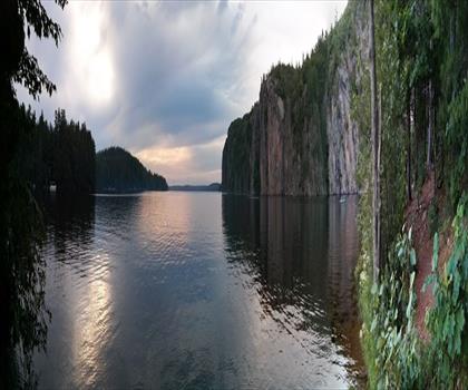
Mazinaw Lake
Haliburton Highlands to the Ottawa Valley
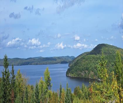
Kamaniskeg Lake
Haliburton Highlands to the Ottawa Valley
Blueberry Mountain Trail
Haliburton Highlands to the Ottawa Valley
Hiking near Barrie
146 trails to explore ~124 km away
We work hard to provide the most up-to-date and error-free data possible. If something seems incorrect, let us know! Your contribution helps the whole community.
Hikers' opinions
Be the first to review!
No hiker has shared their experience yet. Share your impressions and help other hikers!