
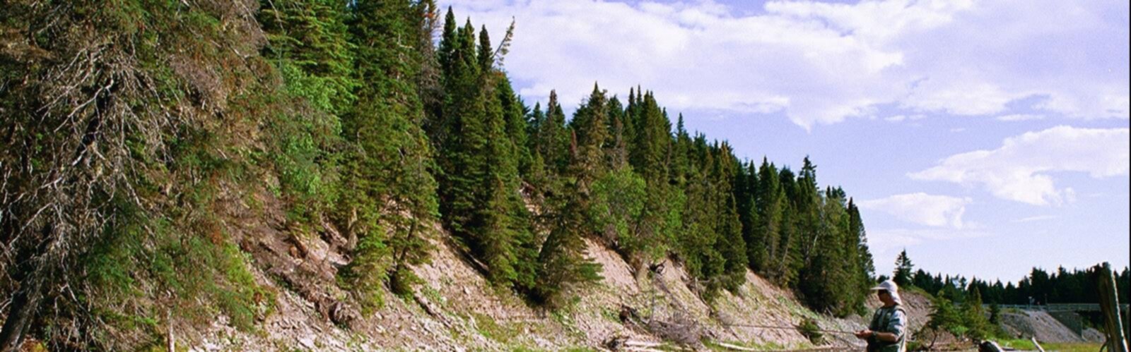

Ready to explore Anticosti Island High Point? Here's everything you need to know before you go!
Discover the trail
Oh no! We don't have any photos 😢
This trail hasn't been captured yet. Be the first to share your adventure!Trail description
Anticosti Island's high point sits at the top of one of Quebec's most remote and least-visited landscapes. The island itself — located in the Gulf of St. Lawrence, part of the Côte-Nord region — is already a destination that demands serious commitment to reach. Getting to its highest elevation adds another layer of adventure to an already exceptional wilderness experience.
About Anticosti Island
Anticosti Island is one of the largest islands in Canada, stretching roughly 220 kilometres long and up to 56 kilometres wide. Despite its size, it has a permanent population of only a few hundred people, almost all concentrated in the small town of Port-Menier on the western end. The rest of the island is an immense expanse of boreal forest, limestone plateaus, river canyons, and coastline that sees very few visitors each year.
More relevant to hikers, Anticosti holds a massive reserve of Ordovician and Silurian marine fossils embedded in its limestone bedrock. Walking across Anticosti means walking across an ancient seafloor, and that geological character shapes the terrain throughout the island, including around its high point.
The High Point
The highest elevation on Anticosti Island sits in the eastern interior of the island, away from the more commonly visited western and central areas. This is not a dramatic alpine summit — the island's topography is defined more by its plateau structure and river-carved canyons than by sharp relief. The high point is a forested rise within the boreal landscape, and reaching it is less about a classic summit push and more about deep wilderness navigation through a region that sees almost no foot traffic.
Because Anticosti's terrain is predominantly flat to gently rolling limestone plateau, the high point doesn't tower over the surrounding landscape in the way a mountain summit would. What makes it significant is its context: you're standing at the top of a massive island in the middle of the Gulf of St. Lawrence, surrounded by boreal forest that stretches in every direction without a road or building in sight.
Getting to Anticosti
Reaching the island is the first major logistical challenge. Anticosti is accessible by ferry from Havre-Saint-Pierre, Sept-Îles, or Rimouski during the navigation season, or by small aircraft year-round to the Port-Menier airstrip. There are no bridges or road connections to the mainland. Planning well in advance is essential — ferry schedules are limited and the island's services are minimal.
Once on the island, the road network is sparse and largely unpaved. A vehicle is necessary for most exploration beyond Port-Menier. The eastern part of the island, where the high point is located, is significantly more remote than the western areas and requires careful planning regarding fuel, supplies, and navigation.
Terrain and Wilderness Character
The interior of Anticosti is classic boreal forest — black spruce, balsam fir, and white birch dominate the canopy. The understory can be dense, and off-trail travel through the island's interior is slow and demanding. The limestone bedrock creates a distinctive ground surface in many areas, with exposed rock, sinkholes, and karst features that require attention underfoot.
Anticosti is also famous — or notorious, depending on your perspective — for its white-tailed deer population. The island has one of the highest deer densities in North America, a result of introductions in the late 1800s combined with the absence of natural predators. The deer have heavily browsed the forest understory in many areas, which actually makes some off-trail travel easier than it might otherwise be, but it also gives parts of the forest a distinctive open, park-like quality at ground level.
Rivers on Anticosti are renowned for Atlantic salmon fishing, and the island's canyon systems — particularly Vauréal Canyon in the central part of the island — are among the most dramatic natural features in Quebec. While these aren't directly at the high point, they're part of the broader landscape context for any extended visit to the island.
What to Expect as a Hiker
Hiking to Anticosti's high point is a genuine backcountry undertaking. There are no marked trails leading to it, no signage, and no infrastructure in the surrounding area. Navigation by map and compass or GPS is essential. The distances involved in reaching the eastern interior mean that any attempt at the high point requires either a multi-day expedition with camping gear or access via ATV or vehicle to reduce the approach distance.
Self-sufficiency is non-negotiable here. The nearest help is far away, cell service is essentially non-existent in the interior, and weather in the Gulf of St. Lawrence can shift quickly. Anyone heading into this part of the island should have solid wilderness skills, appropriate gear, and a clear communication plan.
The reward is a level of solitude and wildness that's genuinely rare. Anticosti's interior sees almost no recreational hikers, and the high point in particular is the kind of objective that only a small number of people pursue each year. For those drawn to remote, off-the-beaten-path destinations rather than well-groomed trail systems, this is exactly the kind of place that delivers.
Practical Considerations
- Access to the island: Ferry or small aircraft to Port-Menier; advance booking required during peak season.
- Vehicle: A 4x4 or ATV is strongly recommended for reaching the eastern part of the island.
- Navigation: No marked trails to the high point; topographic maps and GPS are essential.
- Supplies: Bring everything you need from the mainland or from Port-Menier. Services on the island are very limited.
- Wildlife: White-tailed deer are abundant throughout the island. Black bears are also present.
- Season: The island is most accessible during the summer months when ferry service operates and road conditions are at their best.
- Permits and regulations: Check current access requirements with the Municipalité de L'Île-d'Anticosti and Quebec's wildlife management authorities before your trip, as regulations around the island's protected areas can affect where you're permitted to travel.
The Essential Hiking Checklist
Everything you need for your next hike. Bilingual, printable, 1 page.
Get your free hiking checklistRecommended gear for this trail
As an Amazon Associate I earn from qualifying purchases.


Ready to go?
Everything you need to know before you goWhen?
How much?
As an Amazon Associate I earn from qualifying purchases.
Affiliate links — LGPO may earn a commission at no extra cost to you.
- Hiking shoes Essential
- → Salomon Elixir Tour Mid WP · 203.38 $
- Layered clothing Essential
- Rain jacket Essential
- Trekking poles
- → Black Diamond Trail Ergo Cork · 69.99 $
- Headlamp
- → Petzl Actik Core 625 · 103.95 $
FAQ - Frequently asked questions
Everything you need to knowSimilar hikes nearby
Discover other trails you might enjoy

Boisé De La Pointe Saint-gilles
North Shore

Parc Nature De Pointe-aux-outardes
North Shore
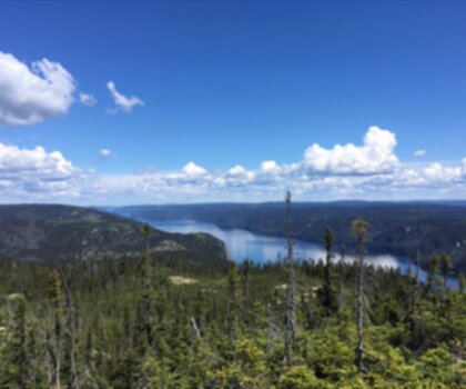
Réserve faunique de Port-Cartier-Sept-Îles
North Shore

Parc National D'anticosti
North Shore

Centre De Vacances Ferme 5 Étoiles
North Shore

Sentier Pédestre De Portneuf-sur-mer
North Shore
Hiking near Charlottetown
11 trails to explore ~354 km away
We work hard to provide the most up-to-date and error-free data possible. If something seems incorrect, let us know! Your contribution helps the whole community.
Hikers' opinions
Be the first to review!
No hiker has shared their experience yet. Share your impressions and help other hikers!