

Ready to explore Hole in the Mountain Peak? Here's everything you need to know before you go!
Discover the trail
Trail description
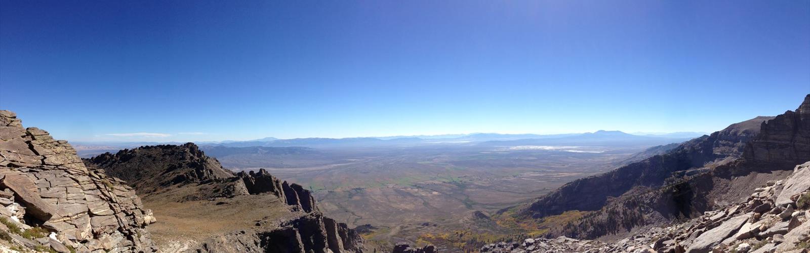
Hole in the Mountain Peak is the highest summit in the East Humboldt Range of northeastern Nevada, standing at 11,311 feet. This is a serious desert peak that rewards technical effort with genuine alpine character — a high-elevation scramble that feels far removed from civilization, despite its accessibility via I-80 near Wells.
What Makes This Peak Stand Out
The peak gets its distinctive name from a natural arch or window eroded through the rock formation, locally known as Lizzie's Window. When you're on approach and spot that opening in the ridgeline against the sky, it's one of those memorable moments that makes the effort feel worthwhile. This geological feature gives the peak a visual signature that stands out among the numerous summits in the East Humboldt Range.
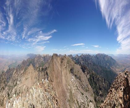
The East Humboldt Range is part of the Great Basin geography of northeastern Nevada, characterized by rugged terrain, exposed ridgelines, and dramatic granite formations. The landscape features typical Great Basin vegetation and geology — volcanic and granitic rock, sparse desert shrub, and at this elevation, alpine zone characteristics. The range is visible from I-80 as a distinctive landmark for westbound travelers heading toward Wells.
The Terrain and the Climb
Hole in the Mountain Peak is a demanding scramble with significant off-trail navigation required. The route is mostly off-trail with Class 2+ scrambling, particularly near the summit. The terrain is steep throughout, with crumbly, sharp rock underfoot that demands sure-footed movement and technical scrambling ability. This is not a hike for beginners — route-finding skills, comfort with exposure, and hands-on-rock scrambling experience are essential.
Sturdy hiking boots with ankle support and excellent grip are mandatory. Trekking poles may help on descent but you'll need your hands free for upper scrambling sections. The rock is often loose and demands your full attention, which is part of what makes reaching the summit genuinely satisfying.
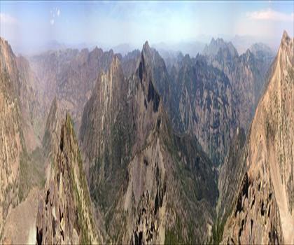
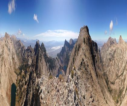
As you approach Lizzies Basin just below the peak, the terrain opens into a stunning alpine bowl surrounded by several-hundred-foot granite cliffs. A stream cascades through much of the basin, providing a dramatic approach to the summit. The upper sections offer 360-degree exposure and exceptional views across the Great Basin. Wildflowers are present in season, and the natural arch or window formation near the summit is worth exploring once you've arrived.
Water and Resources
The stream in Lizzies Basin provides a water source on approach, making this different from typical fully waterless desert peaks. However, confirm flow conditions seasonally before relying on it entirely. The area is remote enough that cell service may be limited or absent — download your maps offline and inform others of your plans before departure.
Season and Conditions
At 11,311 feet, this peak experiences true alpine conditions. The upper elevations can see frost and occasional snow, particularly in winter. Spring and fall offer the most stable conditions with clear weather patterns. Summer is feasible at this elevation due to the high altitude, but weather can change rapidly. Check current conditions before heading out, as the exposed ridges are subject to sudden weather shifts.
Practical Information
- Elevation: 11,311 feet
- Difficulty: Strenuous off-trail scramble (Class 2+) requiring technical climbing ability and route-finding skills
- Distance: Approximately 7.1 miles with 4,800 feet vertical gain
- Footwear: Sturdy hiking boots with ankle support and excellent rock grip — essential for scrambling sections
- Water: Stream present in Lizzies Basin; verify seasonal flow before departure
- Navigation: Off-trail route requiring map, GPS, and strong route-finding skills
- Best seasons: Spring, summer, and fall. Upper elevations can see frost and snow in winter
- Trailhead access: Passes through private property; ensure current access status before visiting
Getting There
Hole in the Mountain Peak is located in the East Humboldt Range in Elko County, northeastern Nevada. The peak is visible from I-80 near Wells, Nevada. Road access to the trailhead varies with conditions; a vehicle with decent clearance is recommended. Confirm current access conditions before your trip, as desert roads can be affected by weather and washouts.
Who This Peak Is For
Hole in the Mountain Peak is a destination for experienced scramblers and hikers comfortable with technical off-trail terrain and strong route-finding. It demands fitness, scrambling ability, and respect for alpine conditions. The combination of the distinctive Lizzie's Window arch, granite basin scenery, alpine wildflowers, and cascading streams makes this one of the more compelling scrambles in the East Humboldt Range.
The Essential Hiking Checklist
Everything you need for your next hike. Bilingual, printable, 1 page.
Get your free hiking checklistRecommended gear for this trail
As an Amazon Associate I earn from qualifying purchases.


Ready to go?
Everything you need to know before you goWhen?
How much?
As an Amazon Associate I earn from qualifying purchases.
Affiliate links — LGPO may earn a commission at no extra cost to you.
- Hiking shoes Essential
- → Salomon Elixir Tour Mid WP · 203.38 $
- Layered clothing Essential
- Rain jacket Essential
- Trekking poles
- → Black Diamond Trail Ergo Cork · 69.99 $
- Headlamp
- → Petzl Actik Core 625 · 103.95 $
FAQ - Frequently asked questions
Everything you need to knowSimilar hikes nearby
Discover other trails you might enjoy
Hiking near Kelowna
45 trails to explore ~1050 km away
We work hard to provide the most up-to-date and error-free data possible. If something seems incorrect, let us know! Your contribution helps the whole community.
Hikers' opinions
Be the first to review!
No hiker has shared their experience yet. Share your impressions and help other hikers!